
Knuckles Mountain Range: Sri Lanka's misty mountains
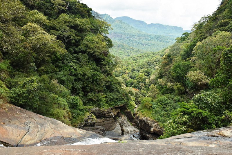
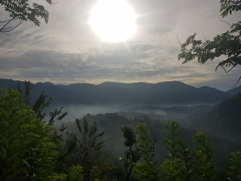
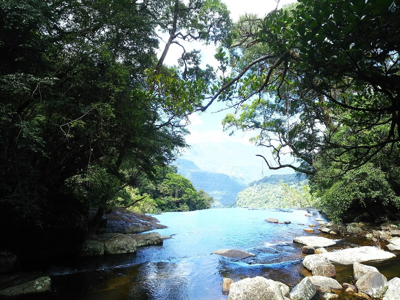
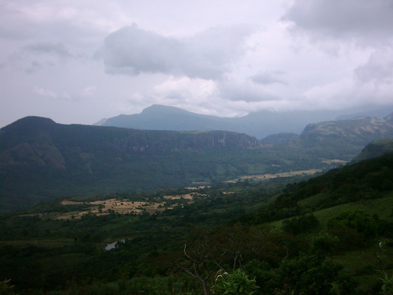
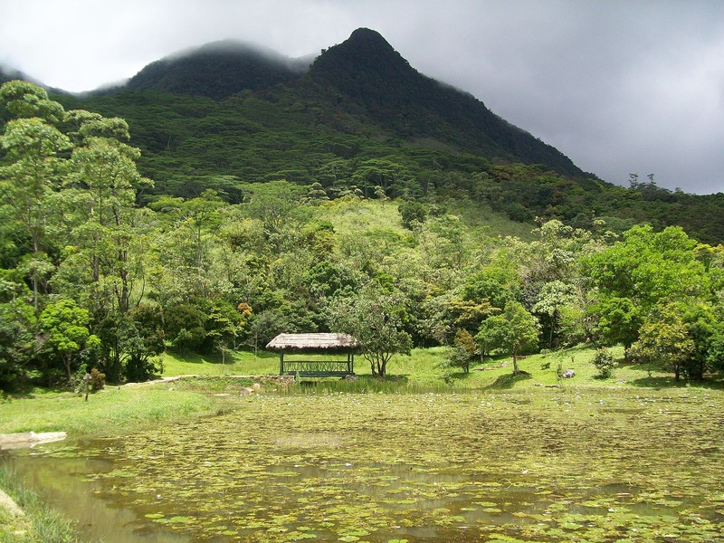
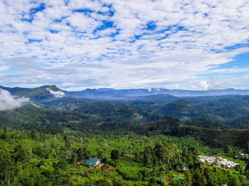
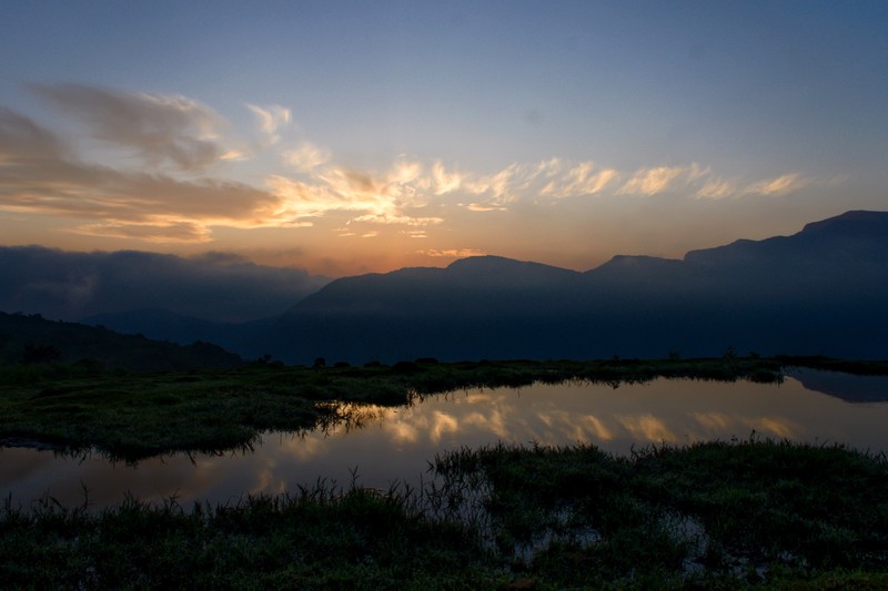
The Knuckles Mountain Range lies in central Sri Lanka, east of Kandy, across the districts of Kandy and Matale. It is one of the island's most scenic and ecologically important mountain regions, with steep peaks, deep valleys, mountain streams, waterfalls, misty forests and open grassy slopes.
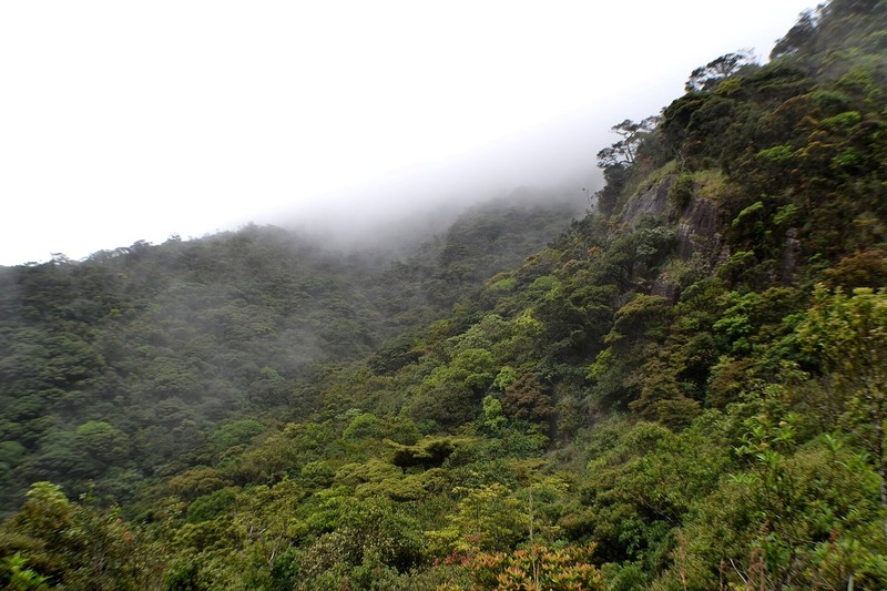
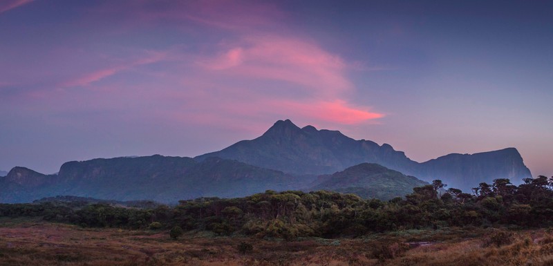
The name Knuckles refers to the knuckles of a clenched fist. From certain viewpoints, the western peaks resemble a row of folded fingers. The local Sinhala name Dumbara Kanduvetiya is associated with mist-covered mountains, as clouds frequently drift across the ridges.
Forests on the World Heritage List
The Knuckles Conservation Forest forms part of the UNESCO World Heritage property known as the Central Highlands of Sri Lanka. Inscribed in 2010, the property is recognised for the exceptional natural value of its mountain ecosystems and its endemic species. It also includes Horton Plains National Park and the Peak Wilderness Protected Area.
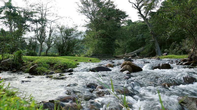
The forests play an important role in protecting the island's water resources. Mountain slopes collect moisture from clouds and rainfall, while numerous streams feed rivers and reservoirs in central Sri Lanka. Protecting these forests benefits wildlife, local communities and agriculture.
Unique nature and wildlife
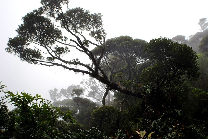
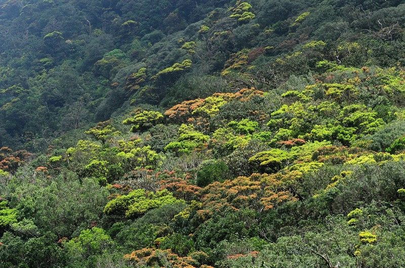
Natural habitats change with altitude. Lower slopes support wet tropical forests, while higher elevations feature evergreen montane forests covered in mosses and ferns, as well as open grasslands. Cloud forests shelter orchids, lichens and plants adapted to cool, humid conditions.
The region is known for its endemic wildlife, including purple-faced langurs, macaques, giant squirrels, birds, amphibians and reptiles. Leopards also inhabit remote areas, although seeing one on an ordinary hike is unlikely.
Rare frogs, lizards and snakes are another important part of the local biodiversity, and some species are found nowhere else. Watch where you step, avoid touching unfamiliar animals and stay on established trails.
Popular trails and natural attractions
The Knuckles range offers hiking routes of different lengths and difficulty. Riverston is a well-known area with views over mountain valleys and ridges. Nearby, the Mini World's End viewpoint provides a panorama from the edge of a steep escarpment.
Another popular route crosses Pitawala Pathana, an open montane grassland with broad views. Some sections end at steep drops, so visitors should keep a safe distance from the edge.
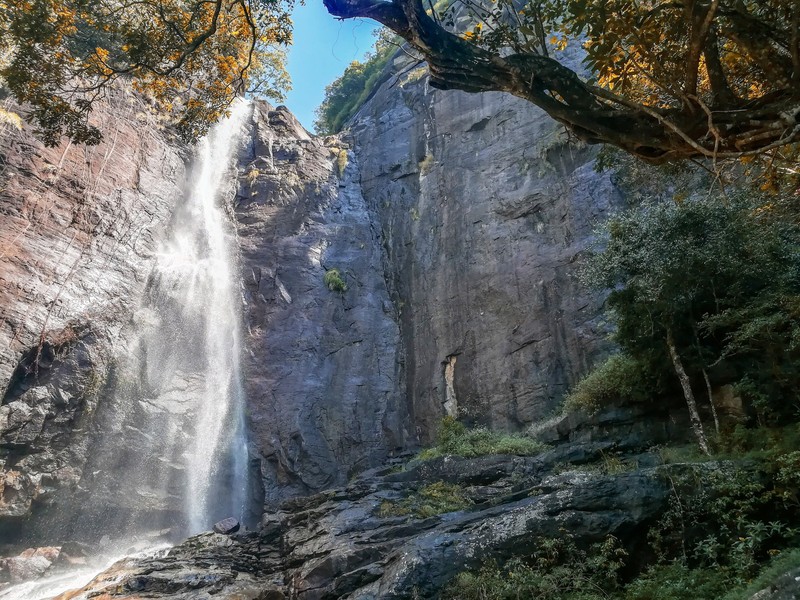
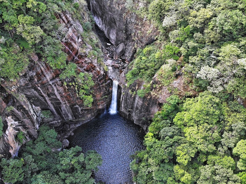
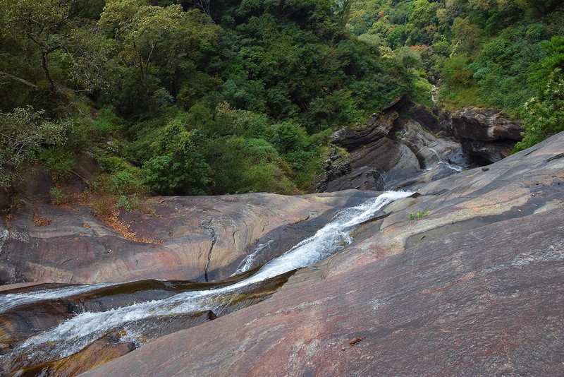
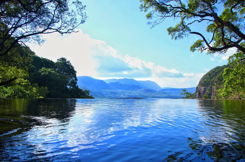
Waterfall lovers can explore Sera Ella, Saree Ella and other cascades in the region. Some remote waterfalls are reached by difficult, poorly marked paths, making an experienced local guide advisable.
Other hiking destinations include Manigala Peak, the Dothalugala nature trail and the area around Meemure village. These routes reveal different sides of the range, from open ridges and rocky slopes to traditional settlements and dense forest.
Villages and traditional life
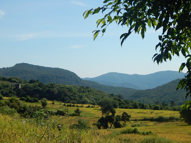
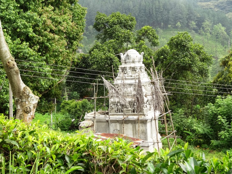
Small villages around the mountain foothills are surrounded by rice fields, gardens and tea plots. Meemure is one of the best-known settlements, attracting visitors with its remote setting and traditional rural character. Travellers can learn about local daily life and the ways communities have adapted to the mountain environment.
Traditional farming, spice cultivation and small family holdings remain part of the local landscape. Respect private property, ask permission before photographing people and avoid disrupting village life.
Best time to visit
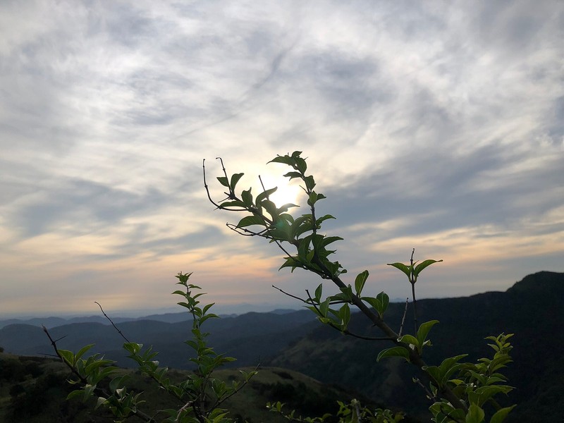
Weather in the Knuckles range is changeable throughout the year. Drier periods between monsoons are often more convenient for hiking, but mist, rain and high humidity can occur even in otherwise favourable months. Mornings often provide the best chance of seeing the ridges before clouds gather.
Check the local forecast and trail conditions before setting out. After heavy rain, streams can rise quickly and paths become slippery. Access to some protected areas may require permission or a guide.
Getting to the Knuckles range
Kandy is one of the main starting points. Riverston is commonly reached via Matale and Rattota, while other parts of the range can be accessed through Panwila, Wattegama and Laggala-Pallegama. Winding mountain roads can make journeys longer than distances on a map suggest.
Depending on the chosen route, a hike may involve several hours of walking over uneven ground. Confirm access rules and any permit requirements before travelling.
Hiking tips
Bring sturdy shoes with good grip, drinking water, light snacks, rain protection and leech repellent. Visibility can drop quickly in mist, so an offline map and a charged phone are useful. Avoid hiking alone on difficult or remote routes.
Stay on permitted trails, take rubbish away, do not collect plants and do not disturb wildlife. Campfires and overnight stays are allowed only where specifically permitted. Responsible tourism helps protect the forests and supports local communities.
Why visit Knuckles?
The Knuckles Mountain Range is ideal for travellers who want to discover a different side of Sri Lanka: cool highlands, cloud-wrapped forests, waterfalls and quiet villages. Its trails range from short walks to demanding hikes. The region's greatest value lies not only in its scenery but also in the rare ecosystems that help sustain the island's natural balance.
Gallery