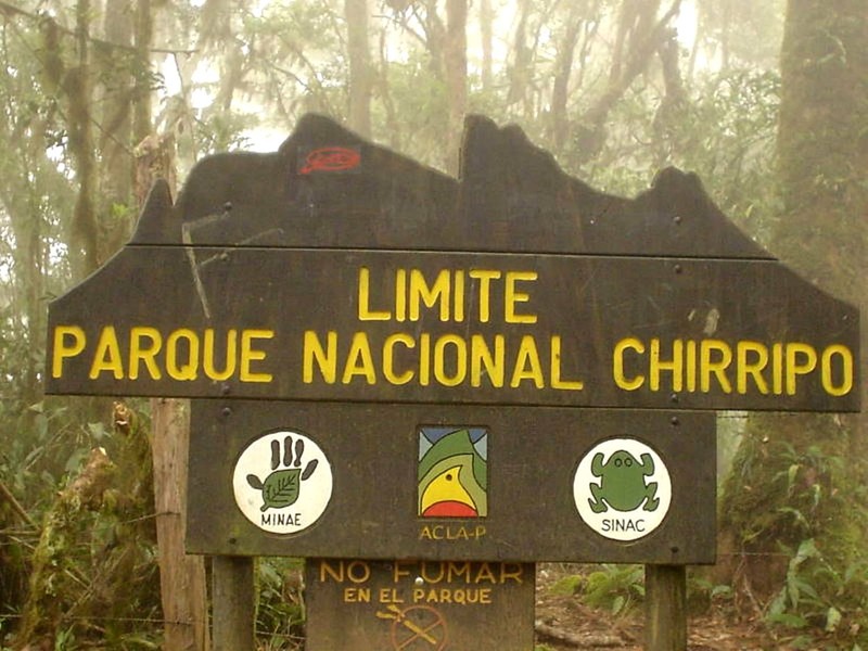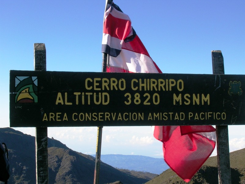

Chirripó National Park lies in southern Costa Rica, in the Cordillera de Talamanca. It is known for high mountain scenery, cloud forests, páramo grasslands and glacial lakes. Its main attraction is Cerro Chirripó, at 3,820 meters, the highest peak in Costa Rica. On clear days, views from the upper slopes may extend toward both the Pacific Ocean and the Caribbean Sea.
Cerro Chirripó
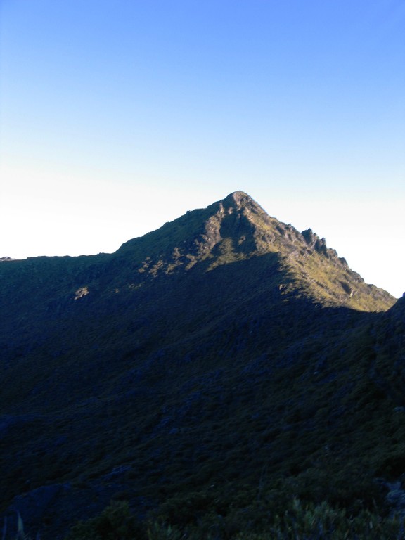
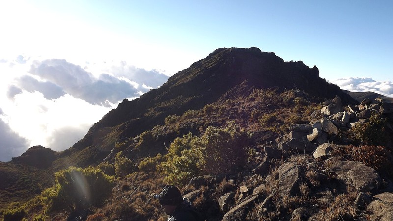
Cerro Chirripó attracts hikers seeking to reach the highest point in the country. The ascent passes through several ecological zones, from mountain forests to exposed high-elevation terrain. As the trail climbs, temperatures, wind conditions and vegetation change noticeably.
The climb requires good fitness, suitable equipment and careful planning. Many hikers start in darkness to experience sunrise in the mountains. Even during the drier season, the summit can experience strong winds, fog, rain and sudden temperature changes. Visibility depends on weather, so views of both oceans are not guaranteed.
Los Crestones Rock Formations
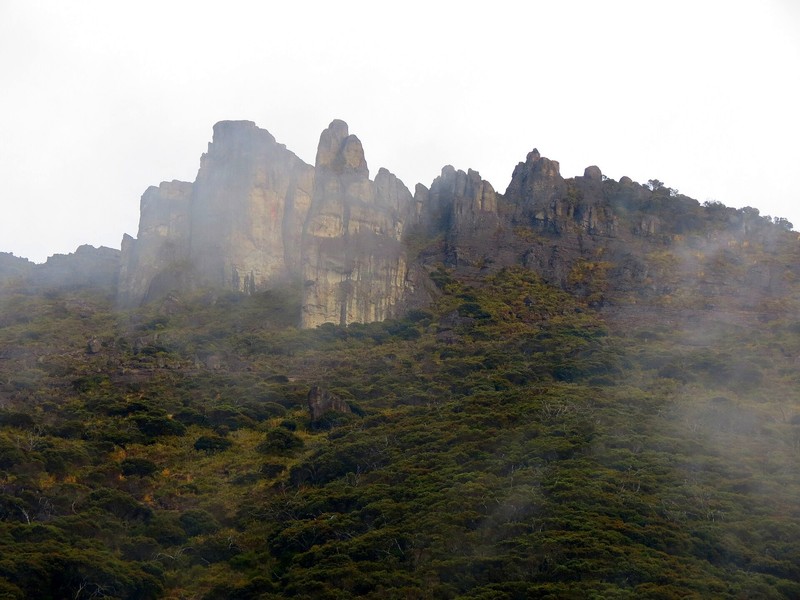
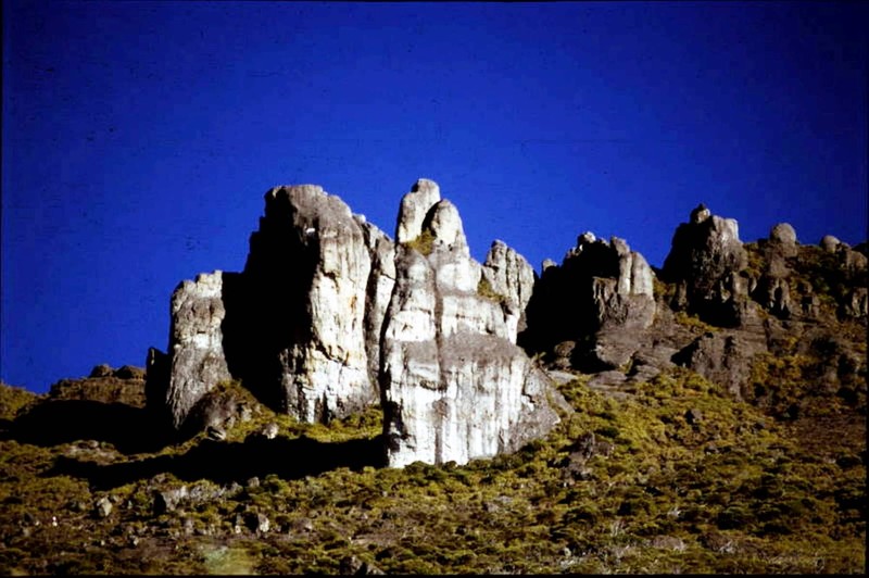
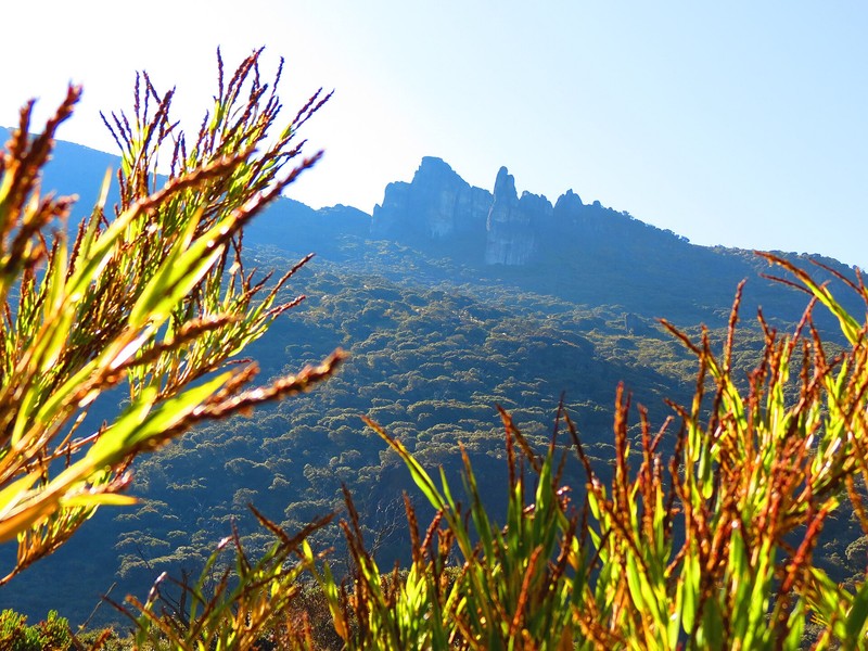
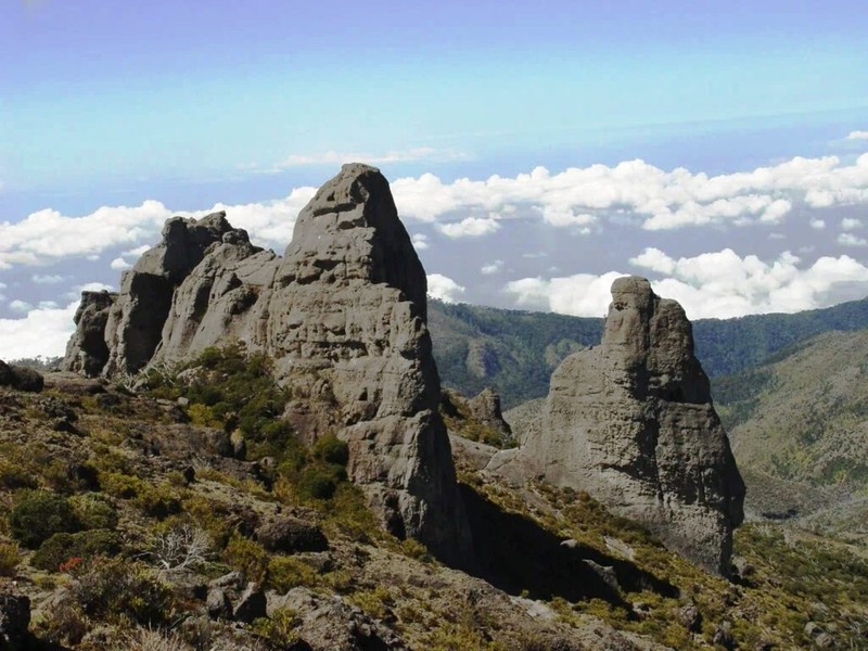
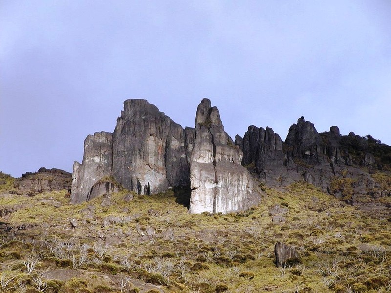
Los Crestones is one of the park’s most recognizable natural landmarks. These striking rock formations were shaped by geological processes and have become a symbol of the national park. Viewpoints in the area offer panoramas of the Talamanca Range and the El General Valley. Visitors should remain on authorized trails.
High-Altitude Lakes and Glacial Valleys
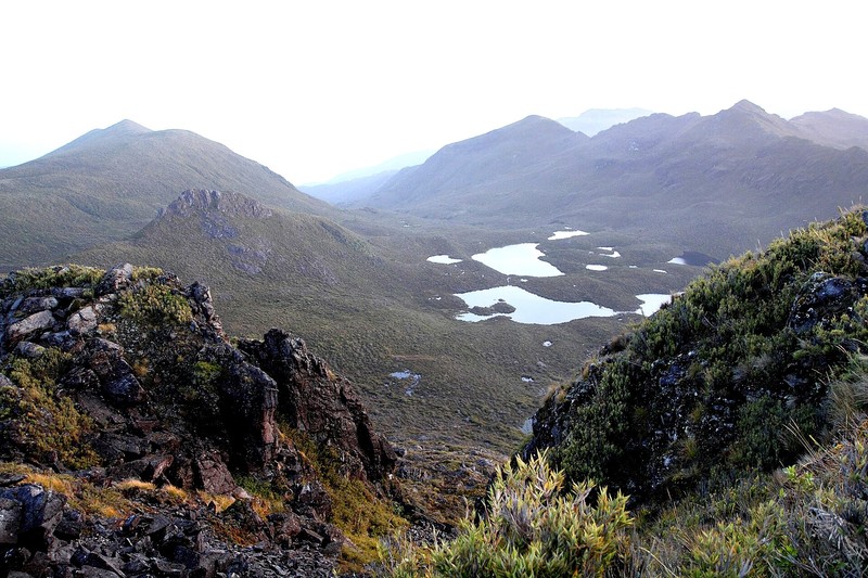
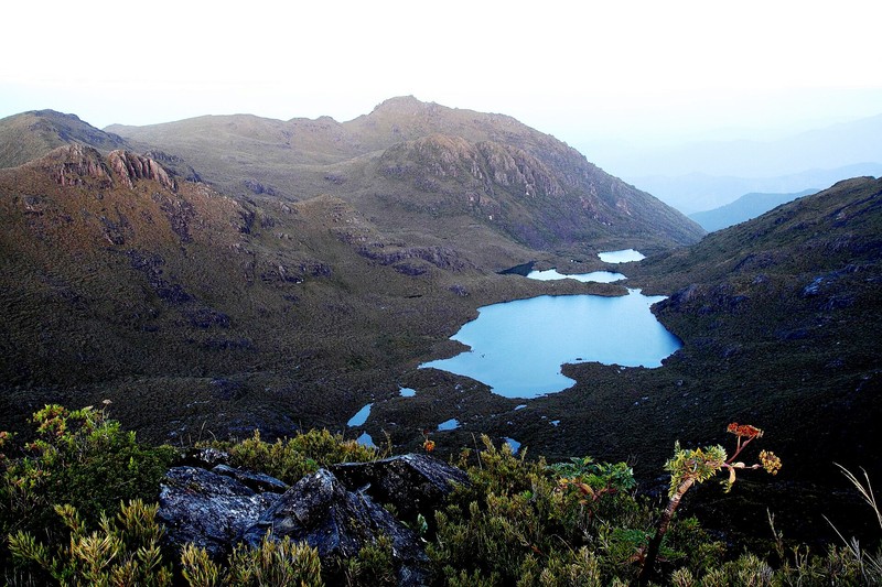
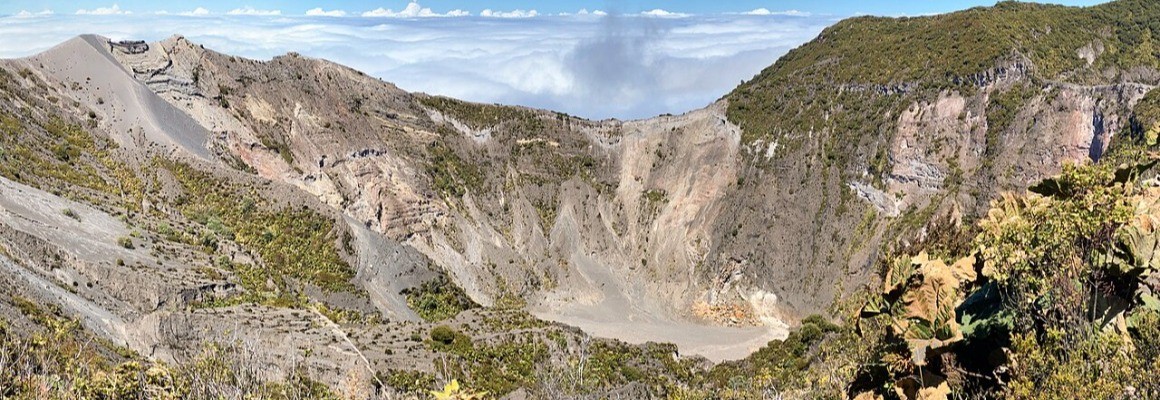
Ancient glaciers shaped the upper mountain landscape, leaving U-shaped valleys, moraines, terraces and glacial cirques. The Valle de las Morrenas contains small lakes surrounded by páramo vegetation. Another notable area is the Valley of the Lakes, also associated with Lake San Juan. These high-altitude waters contribute to river systems flowing toward both the Pacific and Caribbean sides of the country.
Sabana de los Leones
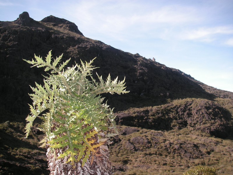
Sabana de los Leones is a rare high-altitude savanna in Costa Rica, dominated by grasses and other open-land vegetation. Its landscape contrasts with the dense forests at lower elevations and reveals plants adapted to cold temperatures, strong winds and intense sunlight. Viewpoints provide views of the El General Valley and surrounding mountains.
Cerro Ventisqueros
Cerro Ventisqueros reaches approximately 3,812 meters above sea level and offers expansive views across the highlands and the Talamanca Range. Strong winds are common at this elevation, and weather conditions can change quickly. Hikers should check conditions before setting out.
Flora and Fauna
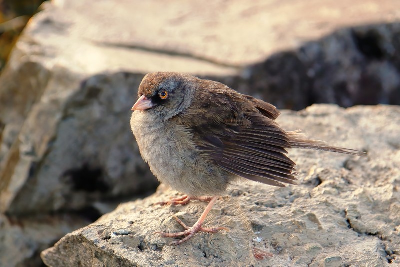
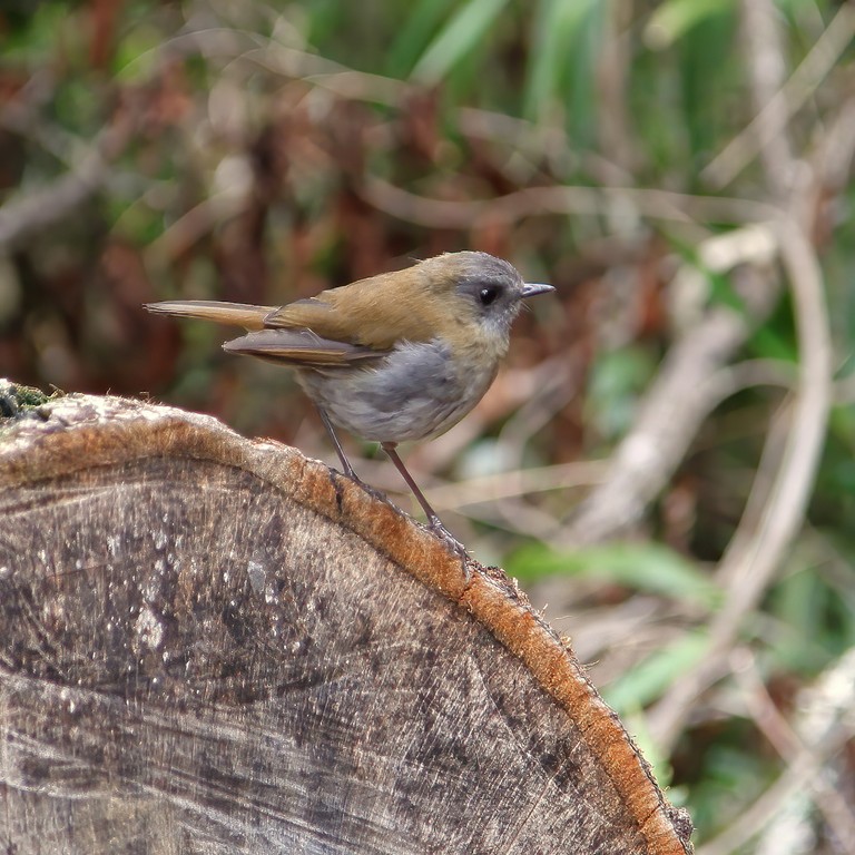
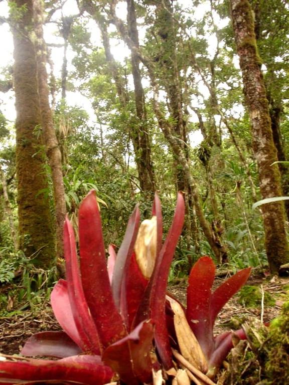
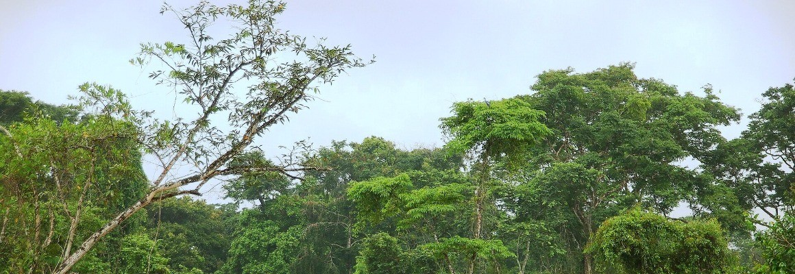
The park’s elevation range supports foothill forests, cloud forests, montane forests and páramo. Mosses, ferns, orchids and other epiphytes grow on trees in the humid forest. Wildlife includes tapirs, deer, coatis, peccaries, spider monkeys and wild cats. Birds include the resplendent quetzal and black guan. Many mammals are elusive, so sightings are never guaranteed. Do not feed wildlife or leave food waste behind.
Climate and Best Time to Visit
Climate varies greatly with altitude. Lower areas are milder, while the highlands can be cold, windy and subject to rapid weather changes. The relatively dry season generally runs from December to April, while rain is more frequent from May to November. Mountain weather remains unpredictable year-round, so check the forecast and prepare for cold and wet conditions.
Hiking Routes and the Summit
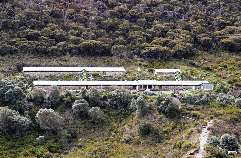
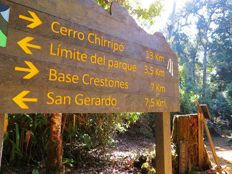
The main visitor route starts in the San Gerardo de Rivas sector and leads to the Base Crestones mountain lodge. The trail to the lodge is about 14.5 km one way. From the lodge, a separate route of approximately 5.1 km leads to Cerro Chirripó’s summit. The hike is demanding because of the long ascent and high altitude.
Other routes enter through the San Jerónimo and Herradura sectors. Access to these routes is separately regulated, and some are classified as extremely difficult and require local guides. Visitors must use officially authorized trails and follow park regulations.
Reservations and Accommodation
Entry to Chirripó National Park requires advance booking through the official SINAC reservation system. Overnight stays are available at Base Crestones, where capacity is limited and reservations are essential. Meals, lodging and baggage transport are provided by authorized local operators. Before travelling, confirm availability, current fees, entry times and registration requirements.
How to Get There
The main visitor access is near San Gerardo de Rivas in the Pérez Zeledón canton. From San José, travelers usually follow the Inter-American Highway toward San Isidro de El General, then continue through Rivas to San Gerardo de Rivas. The administrative offices can be reached by car, but the mountain ascent itself is on foot.
Visitor Tips
Bring sturdy hiking boots, warm layers, a waterproof jacket, wind protection, gloves, a headlamp, water and energy snacks. Stay on authorized trails and follow ranger instructions. Feeding wildlife, collecting plants or rocks, campfires, drones, smoking, alcohol and pets are prohibited. Chirripó is best suited to prepared hikers seeking Costa Rica’s high mountain landscapes and glacially shaped terrain.
Gallery