
Tonle Sap Lake is the largest freshwater lake in Southeast Asia and one of Cambodia’s most important natural landmarks. Located in the central part of the country, it connects with the Mekong River through the Tonle Sap River. Seasonally flooded landscapes, floating settlements, swamp forests and rich wildlife create a remarkable ecosystem. The lake provides fish and other resources for communities throughout the region.
A Remarkable Natural Phenomenon
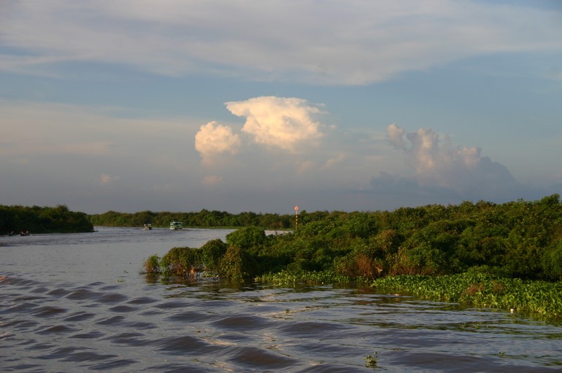
Tonle Sap’s defining feature is its dramatic seasonal change in size and depth. During the dry season, the lake covers several thousand square kilometres. When the Mekong rises during the rainy season, the Tonle Sap River reverses direction and carries water from the Mekong into the lake. As water levels fall, the flow turns back toward the Mekong.
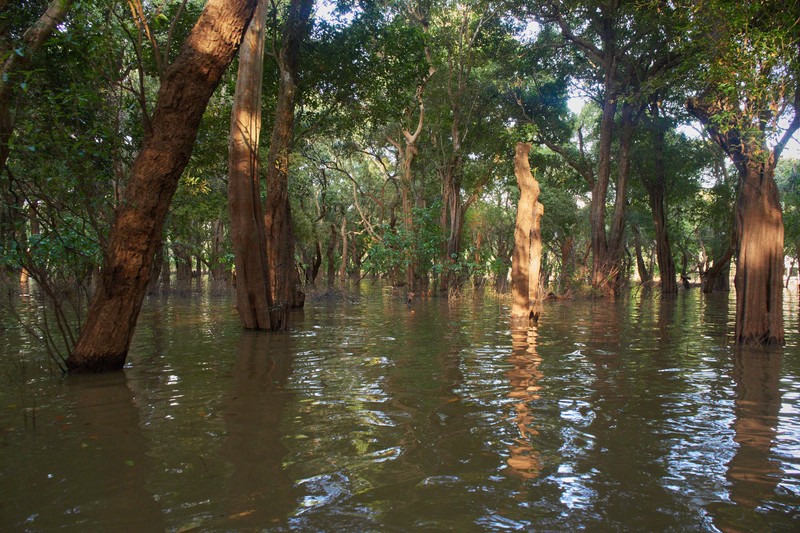
Seasonal flooding spreads across the surrounding lowlands, bringing nutrients and creating ideal conditions for fish to feed and reproduce. Flooded forests and grasslands become essential breeding and feeding habitats.
Floating Villages and Life on the Water
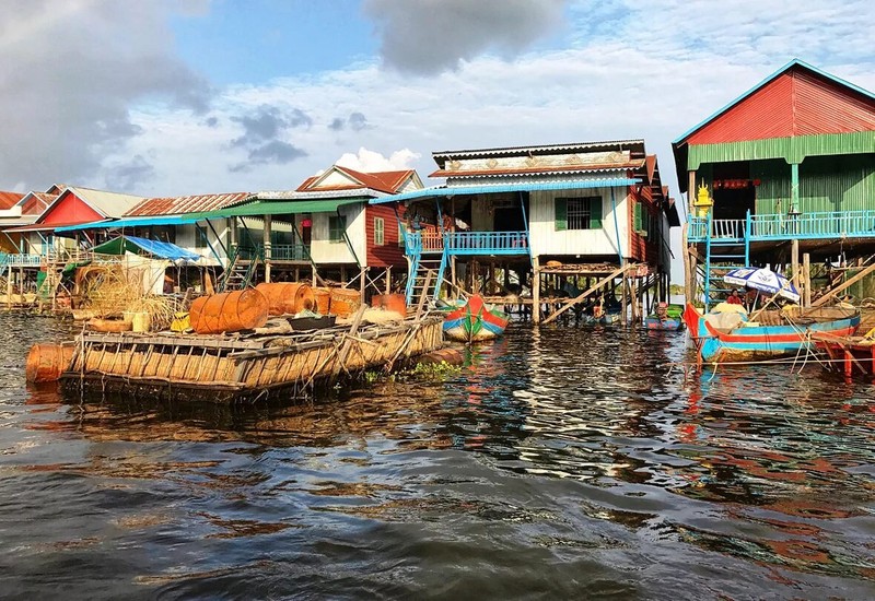
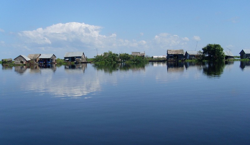
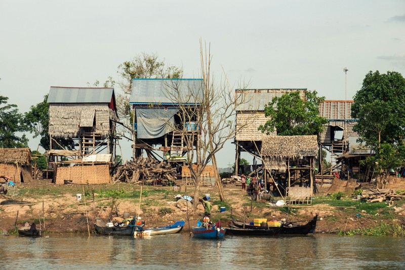
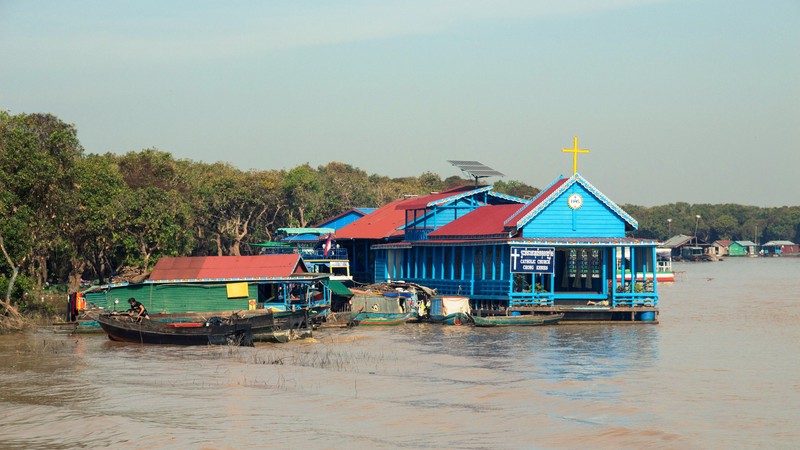
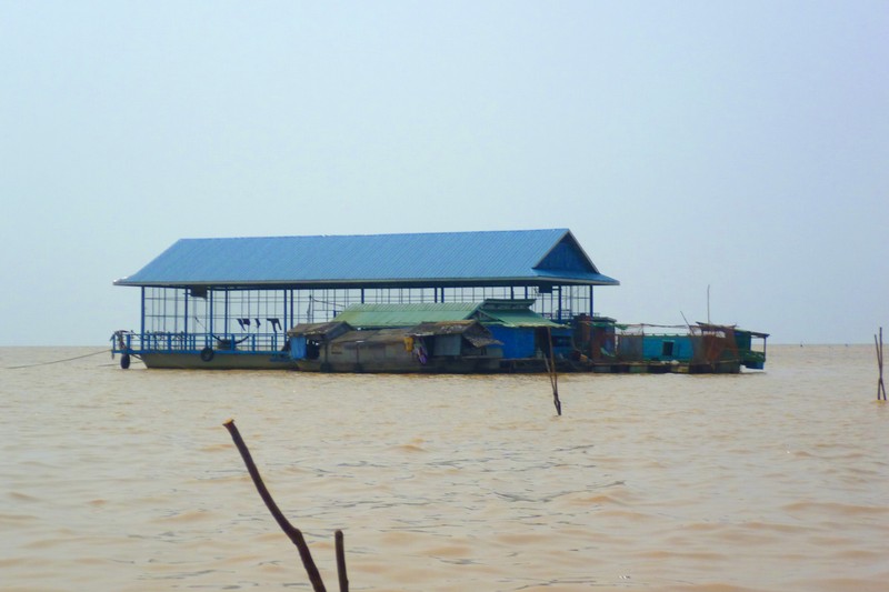
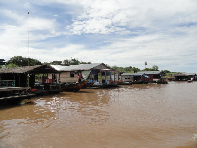
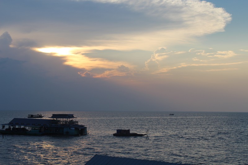
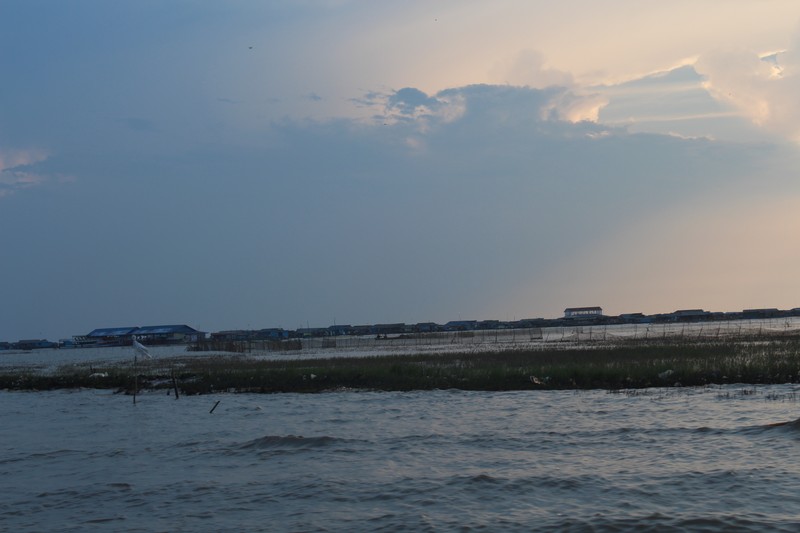
People living around Tonle Sap have adapted to its changing water levels. In some villages, houses stand on tall stilts; elsewhere, floating homes rise and fall with the lake. Boats, fishing equipment, small shops and other signs of everyday life can be seen along the waterways.
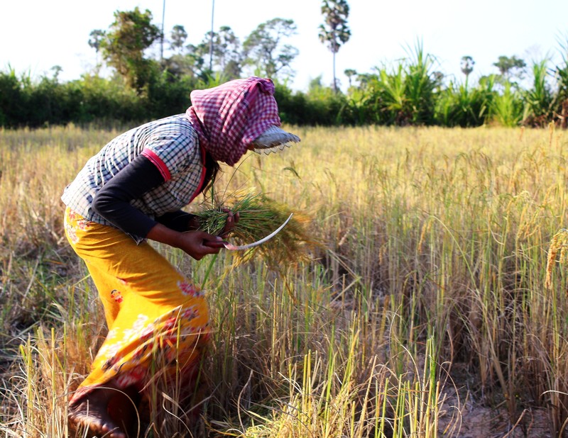
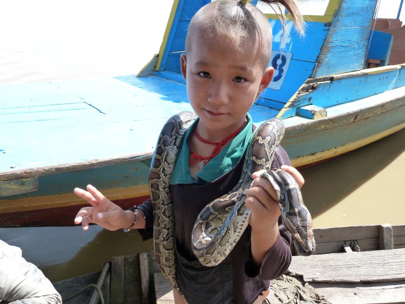
Khmer, Cham and Vietnamese communities live around the lake. Fishing, fish processing, trade and agriculture support many households. Visitors should remember that floating villages are real communities, respect residents’ privacy and ask permission before taking photographs.
Wildlife and Flooded Forests
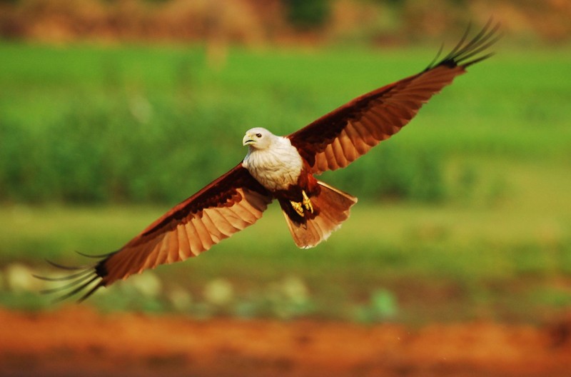
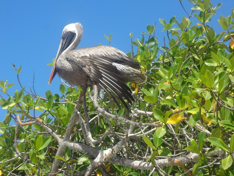
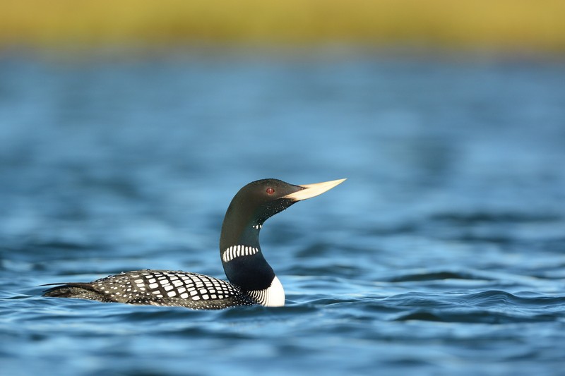
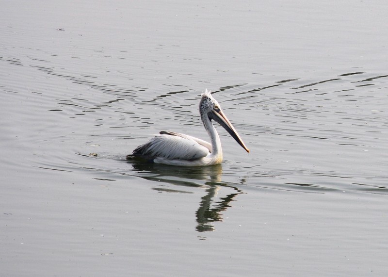
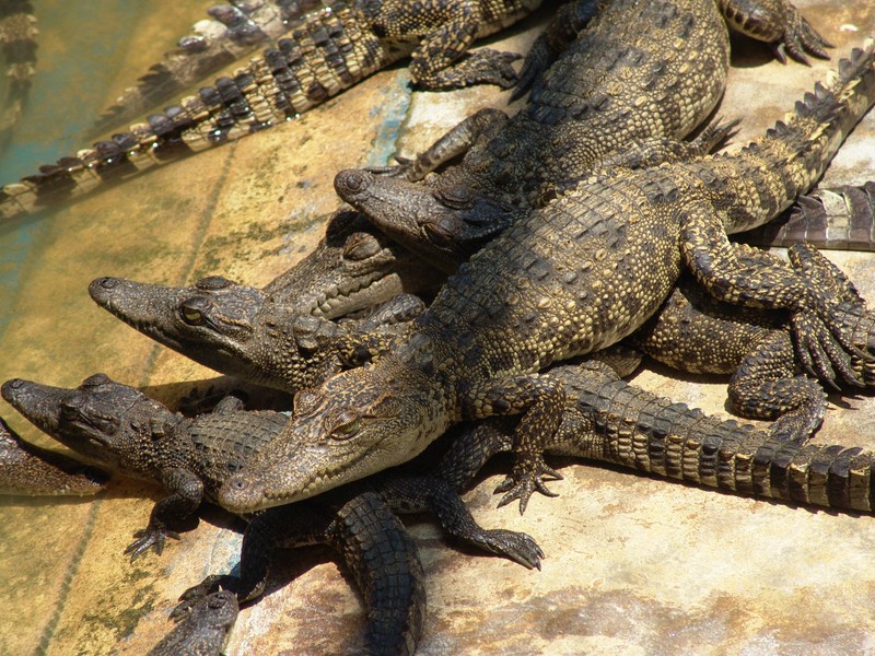
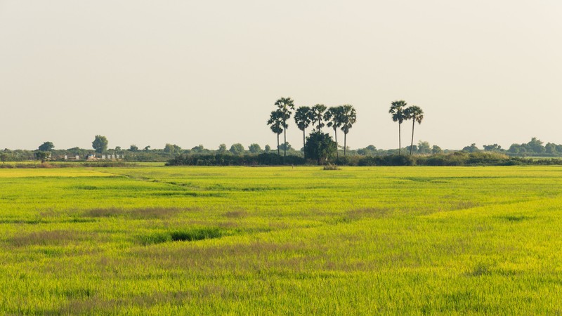
The ecosystem includes open water, marshes, flooded forests, seasonal grasslands and farmland. Forests that are submerged for part of the year provide shelter and feeding grounds for fish and other wildlife. The lake is also important for waterbirds, including rare and threatened species.
Prek Toal, in the north-western part of the lake, is particularly well known. Its flooded forests and wetlands are internationally important for bird conservation. Access to protected areas may be restricted, so visitors should arrange routes with local conservation services.
UNESCO Biosphere Reserve
In 1997, Tonle Sap was designated a UNESCO Biosphere Reserve under the Man and the Biosphere Programme. The reserve brings together important natural habitats, seasonally flooded land, agricultural areas and settlements. Key areas include Prek Toal, Boeng Tonle Chhmar and the Stung Sen region.
Protecting the lake requires balancing nature conservation with local livelihoods. Overfishing, loss of flooded forests and pollution are among the pressures facing the ecosystem.
What to See at Tonle Sap
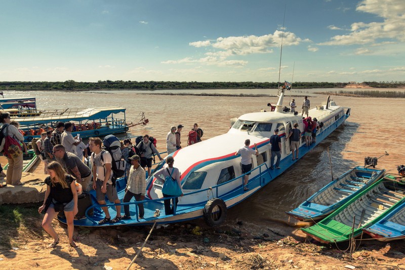
One of the most popular ways to explore the lake is by boat, visiting floating or lakeside villages. Visitors can see stilt houses, fishing boats and wide stretches of water. Nature lovers may prefer birdwatching trips, especially around Prek Toal.
Views of the lake can also be enjoyed from viewpoints near Phnom Krom, close to Siem Reap. The best route depends on water levels and the season.
When to Visit and How to Get There
During the rainy season, usually from May to October, the lake expands and flooded areas spread across the surrounding plains. In the dry season, roughly November to April, water recedes and some boat routes become harder to navigate. Conditions vary from year to year.
Many travellers visit from Siem Reap, travelling by car, taxi or organised excursion to a departure point before continuing by boat. Bring drinking water and sun protection, and follow the crew’s safety instructions.
Why Visit Tonle Sap Lake?
Tonle Sap is more than a large lake: it is a living ecosystem that supports the environment and daily life across much of Cambodia. A visit reveals its unusual seasonal water cycle, floating communities and the importance of freshwater resources to local culture.
Gallery