
Aberdare National Park lies in central Kenya, within the Aberdare mountain range west of Mount Kenya. It is known for dense tropical forests, misty valleys, high-altitude moorlands, deep ravines and spectacular waterfalls. Unlike Kenya's familiar open savannas, the park features cool mountain landscapes whose slopes are often veiled in clouds and mist. Established in 1950, it protects distinctive ecosystems of Kenya's central highlands.
Mountain Range and Natural Landscapes
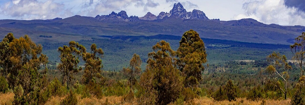
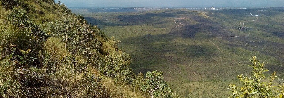
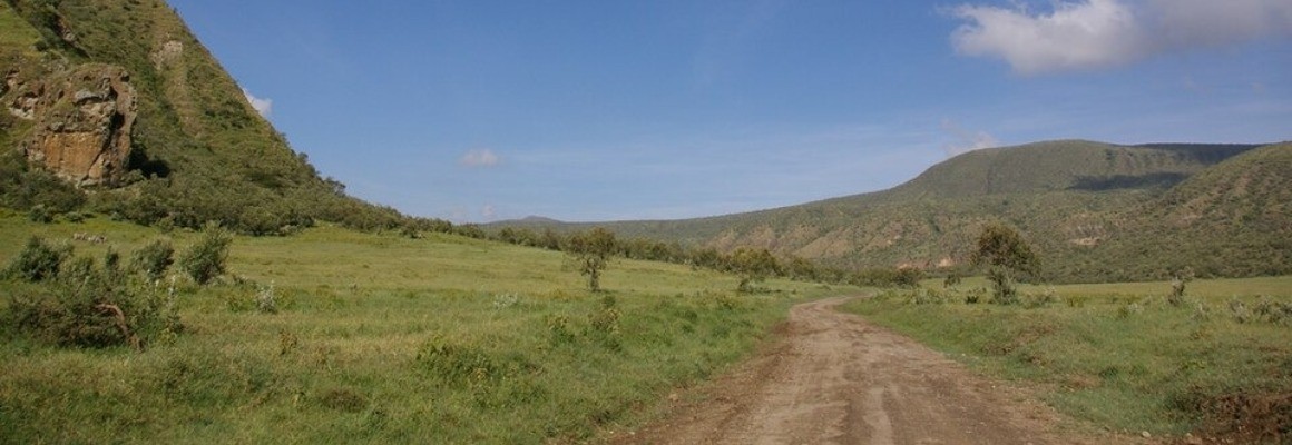
The Aberdares are a volcanic mountain range forming the eastern wall of the Great Rift Valley. Higher areas are covered with open moorlands, heather thickets and unusual alpine vegetation. Lower down are bamboo zones and dense montane forests. The terrain features steep slopes, deep V-shaped valleys and rocky peaks. Changes in elevation create a variety of natural conditions, allowing several types of ecosystems to exist side by side.
Karuru, Gura and Chania Waterfalls
Among the park's best-known attractions are waterfalls plunging from high cliffs into narrow ravines. Karuru Falls is especially impressive, with water dropping approximately 300 metres. Nearby, Gura Falls descends into the same deep gorge from the opposite side. Chania Falls also attracts visitors with its sheer cliffs and powerful cascades. After rainfall, the waterfalls can become particularly dramatic, while the surrounding slopes turn bright green.
Rare Animals and Wildlife
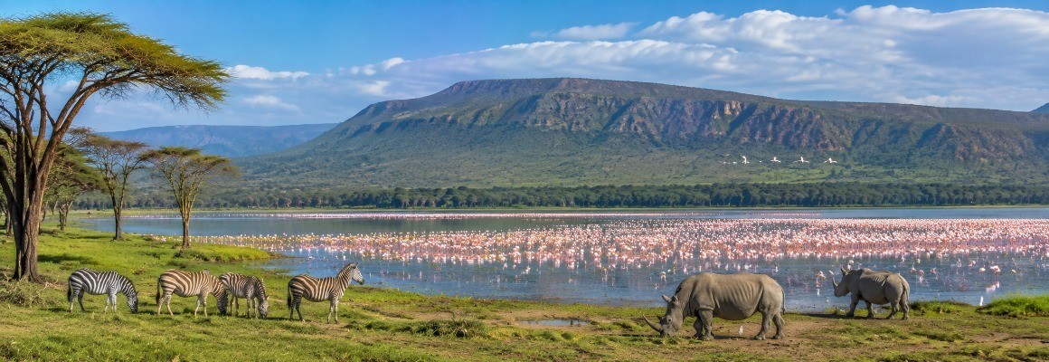
Aberdare National Park provides refuge for a wide range of African wildlife. Elephants, African buffaloes, leopards, black rhinos, giant forest hogs, antelopes and several monkey species inhabit its forests and mountain slopes. The conservation of the mountain bongo, a rare forest antelope that prefers dense cover, is especially important. These elusive animals are seldom seen in open areas. Depending on the location and viewing conditions, visitors may also spot colobus monkeys, baboons and other primates. Thick vegetation can make some wildlife difficult to observe.
Birdlife and Highland Vegetation
The range of elevations and vegetation zones creates habitats for many bird species. The forests are home to turacos, hornbills, sunbirds and birds of prey. Open highland areas support heather shrubs, grasses and plants adapted to cool weather and frequent mist. As visitors climb higher, the forest gradually gives way to open mountain vegetation. Aberdare appeals not only to those interested in large mammals but also to nature lovers who want to discover the distinctive plant communities of East Africa's highlands.
Peaks and Unusual Rock Formations
Popular natural landmarks include Ol Donyo Lesatima, also known as Mount Satima, and Mount Kinangop. Hiking routes cross highland moorlands and areas with panoramic views. Other notable features include the Dragon Teeth, a rugged volcanic rock formation resembling a row of enormous stone teeth, and Twin Peaks, two striking rocky outcrops rising from misty mountain scenery. Weather at high elevations can change quickly, so hikes should be planned according to visibility, trail conditions and local advice.
The Historic Treetops Location
Aberdare is known not only for its scenery but also for an important historical event associated with Treetops Lodge. In February 1952, Princess Elizabeth was staying here during a visit to Kenya when she learned of the death of her father, King George VI, and her accession to the British throne. The story made the location famous far beyond Kenya. Today, forest lodges and viewing platforms allow visitors to experience the park's wildlife, including animals that come to waterholes.
Safaris and Hiking
Visitors can explore Aberdare on vehicle safaris, walks along permitted trails and wildlife observation from designated viewing areas. Some forest lodges have platforms overlooking waterholes where elephants, buffaloes and other animals may appear. Hiking routes provide opportunities to see highland moorlands, forest streams and waterfalls. Available activities depend on the area, weather and current park regulations. Visitors planning to enter remote or challenging terrain should check in advance whether a guide or other arrangements are required.
How to Reach the National Park
The park is approximately 150–160 kilometres from Nairobi, although travel time depends on the entrance selected and road conditions. Most visitors travel by road through the towns of Nyeri or Naro Moru. Entrances serve different parts of the park, so the route should be chosen according to planned attractions and accommodation. Mweiga is the nearest airstrip to the park headquarters. Before setting out, check road conditions and confirm that the intended gate is accessible, particularly during the rainy season.
Climate and Best Time to Visit
Aberdare has a noticeably cooler climate than Kenya's lowland savannas. Rain, mist and rapidly falling nighttime temperatures are common at high elevations. Drier periods generally occur in January and February and from June to September, although conditions vary from year to year. During rainy months, the waterfalls can be especially powerful, but some roads and trails may become difficult to navigate. Visitors should bring warm clothing, a waterproof jacket and sturdy footwear with good grip.
Conservation and Visitor Guidelines
Aberdare plays an important role in protecting Kenya's mountain forests, rare wildlife and water resources. Its forests form a major catchment area for several river systems. Visitors should follow park regulations by avoiding litter, never feeding animals, staying on authorized roads and keeping a safe distance from wildlife. Before hiking, check which routes are open and whether a guide is required. Responsible travel helps preserve the fragile highland ecosystems and rare species found in this distinctive part of Africa.
Gallery