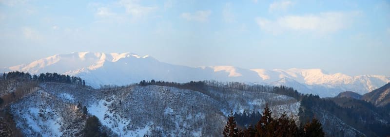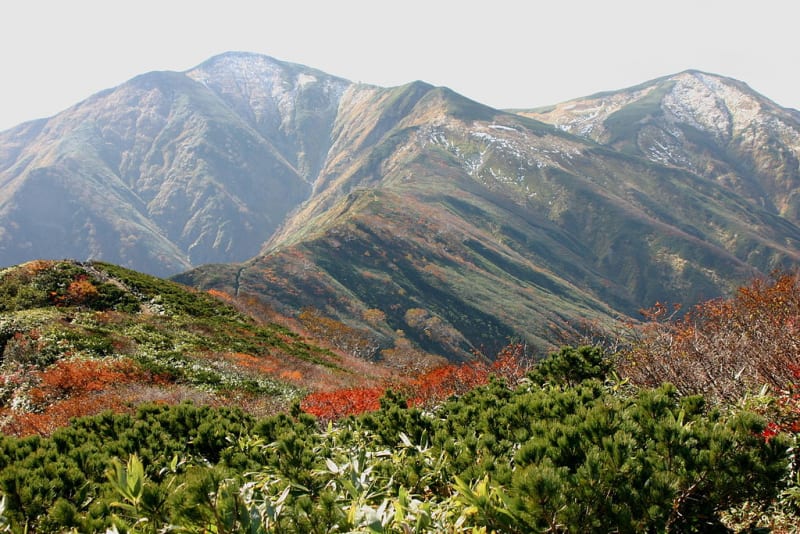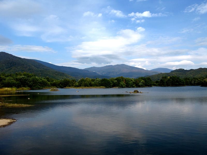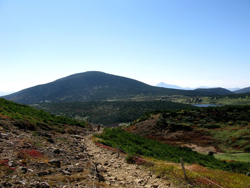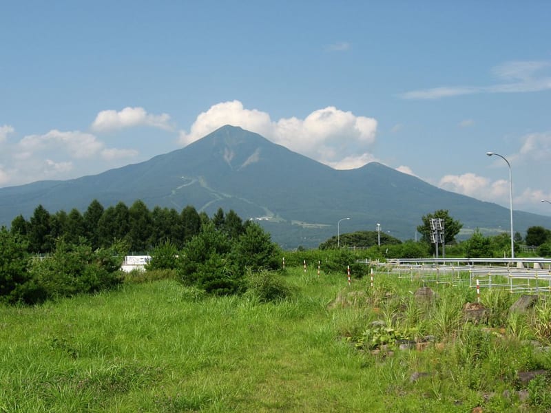

Bandai-Asahi National Park is one of Japan’s largest national parks, located in the Tohoku region in the northeast of Honshu. It extends across Fukushima, Yamagata, and Niigata prefectures and encompasses mountain ranges, volcanic landscapes, dense forests, alpine marshes, and numerous lakes. Established on September 5, 1950, the park covers approximately 186,000 hectares.
The park is exceptionally diverse. Its highlights include the sacred Dewa Sanzan mountains, the rugged Iide and Asahi ranges, Mount Bandai, Mount Adatara, and scenic Lake Inawashiro. Bandai-Asahi appeals to hikers and mountaineers as well as travelers who prefer peaceful walks, hot springs, and wildlife observation.
Three Areas of the National Park
The vast park is generally divided into three areas: Dewa Sanzan and Asahi, Iide, and Bandai-Azuma and Inawashiro. Each has its own natural character, history, and travel opportunities.
The northern Dewa Sanzan and Asahi area contains sacred mountains connected with ancient Japanese religious traditions. The Iide area is known for wilderness, mountain trails, beech forests, and alpine flowers. The southeastern Bandai-Azuma and Inawashiro area attracts visitors with volcanic scenery, lakes, and colorful ponds formed by geological processes.
Mount Bandai and the Goshikinuma Ponds
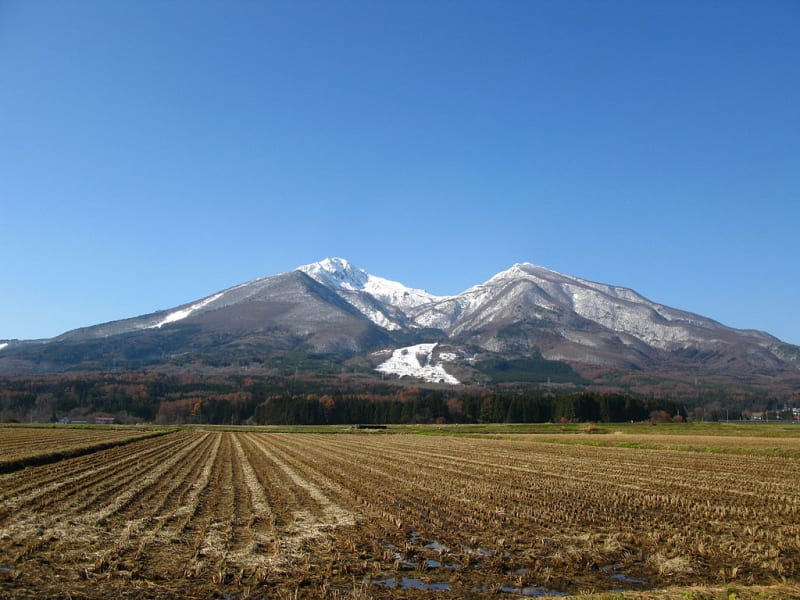
One of the park’s main natural attractions is Mount Bandai, a volcano whose 1888 eruption dramatically reshaped the surrounding landscape. The collapse of part of its northern slope triggered landslides and blocked river valleys, creating numerous lakes and ponds in the Urabandai area.
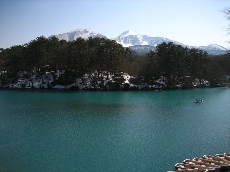
The Goshikinuma ponds are particularly famous. Their name means “five colors,” and the group actually consists of around thirty lakes and ponds whose waters may appear blue, turquoise, green, yellow, and other shades. Their colors depend on mineral content, acidity, lighting, and viewing angle. One well-known pond is Akanuma, or “Red Pond,” noted for its unusual coloration.
A popular way to explore Goshikinuma is to follow a walking trail from the Urabandai Visitor Center. The route passes through woodland and alongside several colorful ponds and can take around 90 minutes, depending on the chosen path. Conditions change after rain, in winter, and during poor weather, so visitors should check with the local visitor center before setting out.
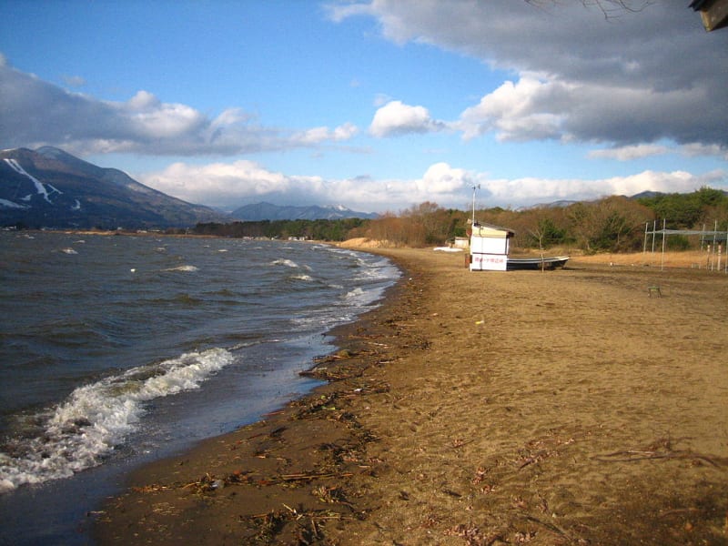
Lake Inawashiro
Lake Inawashiro is one of Japan’s largest freshwater lakes and an important natural landmark in the region. Its clear water and reflections of the surrounding mountains have earned it the nickname “Heavenly Mirror Lake.” The shoreline has recreation areas, campsites, and facilities for water-based activities.
During warmer months, boating, canoeing, and other waterside activities are popular. In winter, the lake and its surroundings take on a different character. Snowy landscapes attract visitors who enjoy winter scenery, and ice fishing is practiced in some parts of the region.
The Sacred Mountains of Dewa Sanzan
Dewa Sanzan refers to three sacred mountains in Yamagata Prefecture: Mount Haguro, Mount Gassan, and Mount Yudono. For centuries, they have been pilgrimage destinations associated with Shugendo, a mountain ascetic tradition combining elements of Buddhism and Shinto. Practitioners are known as yamabushi, and the tradition of spiritual training in the mountains continues today.
The pilgrimage linking the three mountains is symbolically associated with birth, death, and rebirth. Mount Haguro is known for its historic five-story pagoda set among cedar trees. Mount Gassan attracts visitors with alpine marshes and flowering mountain plants, while Mount Yudono holds a particularly sacred place in local religious tradition.
Access to Dewa Sanzan trails depends on the season. Snow can remain at higher elevations into early summer, and some trails and shrines close during colder months. Check trail access and local visiting rules before beginning a hike.
Mountain Hiking and the Iide Range
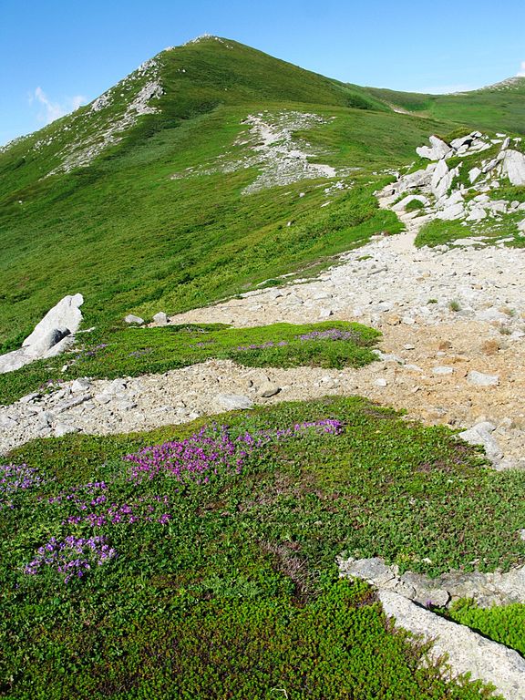
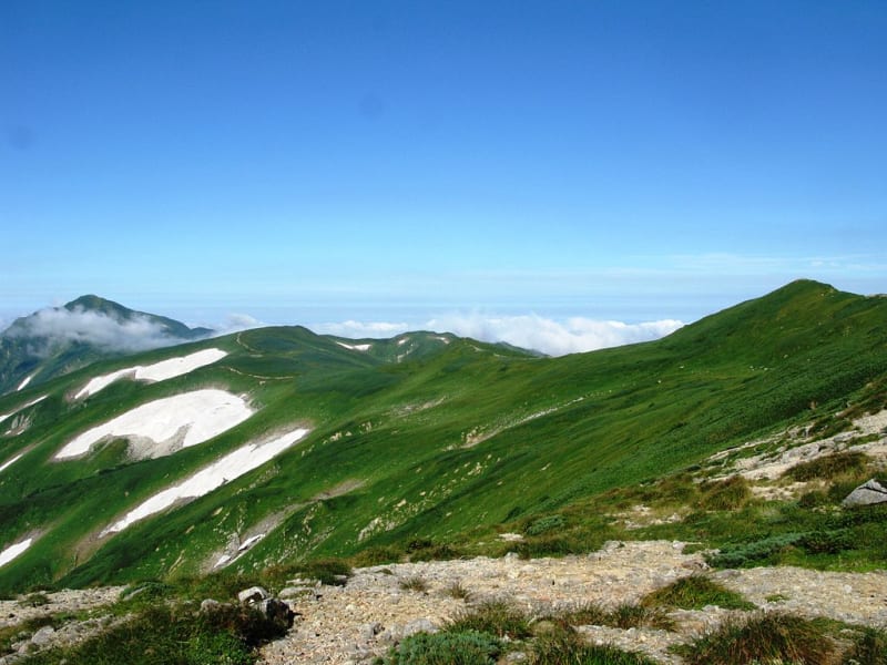
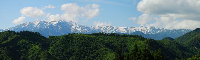
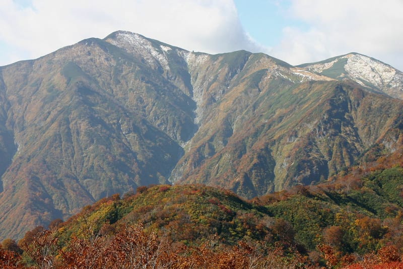
The Iide mountain range attracts travelers seeking remote trails and relatively untouched landscapes. Its peaks, deep forests, and alpine meadows are especially appealing in summer, when mountain flowers bloom. The best-known summit in the range is Mount Iide, at approximately 2,105 meters.
Many routes in the Iide area are intended for experienced hikers and involve long days, substantial elevation changes, and overnight stays in mountain huts. Infrastructure is more limited here than in popular tourist districts, so transport, food, equipment, and time should be planned in advance.
The Azuma Mountains and Volcanic Scenery
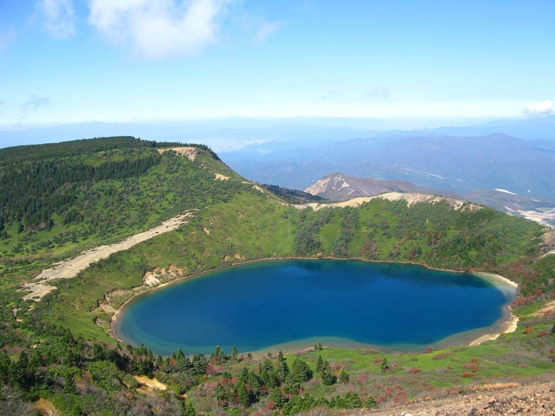
The Azuma range is known for volcanic terrain, alpine marshes, and panoramic views. One of its most recognizable features is Azuma-Kofuji, a volcanic cone with a clearly defined crater. In suitable conditions, visitors can follow a trail near the crater and enjoy views of the surrounding mountains.
The Jododaira Visitor Center provides information about trails, weather, and current conditions. Hot springs can also be found nearby, including Tsuchiyu Onsen, known for its traditional Japanese baths. Some mountain roads, including scenic routes through the Azuma range, close in winter because of snow and difficult weather.
Wildlife and Plant Life
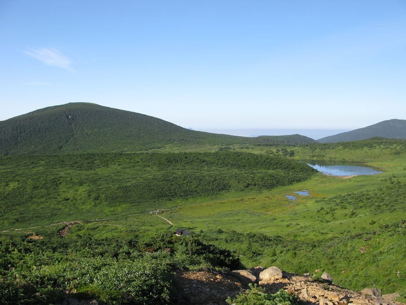
The park includes beech forests, coniferous woodland, alpine meadows, and marshes. Depending on altitude and season, visitors may see a range of plants, including alpine flowers adapted to short summers and cool conditions. In autumn, forests turn shades of yellow, orange, and red.
Wildlife includes Japanese macaques, deer, and Asian black bears. Hikers should keep their distance from wild animals, avoid leaving food behind, and pay attention to warning signs. The best places for observing nature are designated trails and viewpoints.
Best Time to Visit
Summer is suitable for most mountain hikes, visits to alpine marshes, and viewing mountain flowers. In spring, flowers and fresh greenery appear at lower elevations, although snow may remain higher up. Autumn brings colorful forests and mountain reflections in the lakes. In winter, some areas offer skiing, snowshoeing, and other snow activities, but many roads and hiking routes close.
Because the park covers a vast area, conditions can vary considerably between regions. Before traveling, check the weather forecast, road status, public transport availability, and any trail restrictions.
How to Get to Bandai-Asahi National Park
There is no single entrance to the park, and the best route depends on which area you plan to visit. For Bandai-Azuma and Inawashiro, convenient access is available through Koriyama or Fukushima stations on the Tohoku Shinkansen, followed by a local train, bus, or rental car. To reach Goshikinuma, travel to Inawashiro Station and transfer to a bus toward Urabandai.
The Dewa Sanzan and Asahi areas are more conveniently reached through Tsuruoka and other transport hubs in Yamagata Prefecture. Some mountain trails are open only seasonally, and buses may be infrequent or unavailable in winter. Given the distances and limited public transport, renting a car is often the easiest way to explore several parts of the park.
Bandai-Asahi National Park is an excellent destination for discovering Japan’s varied natural landscapes away from its largest cities: volcanic lakes, mountain ranges, ancient pilgrimage sites, and forest scenery. To explore the park comfortably, allow several days and choose one or two areas in advance.
Gallery