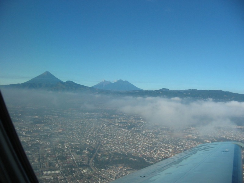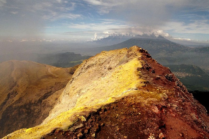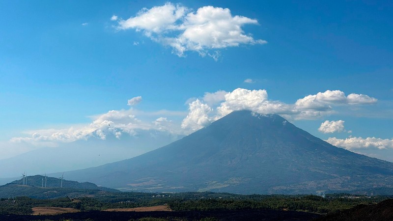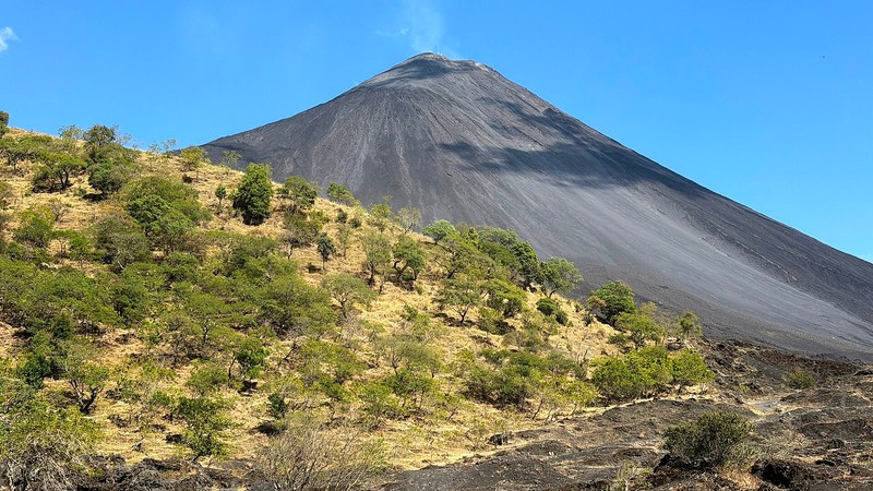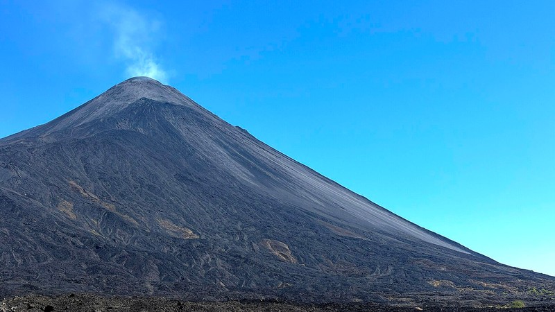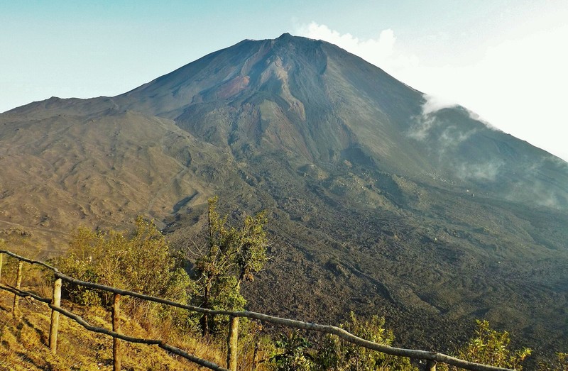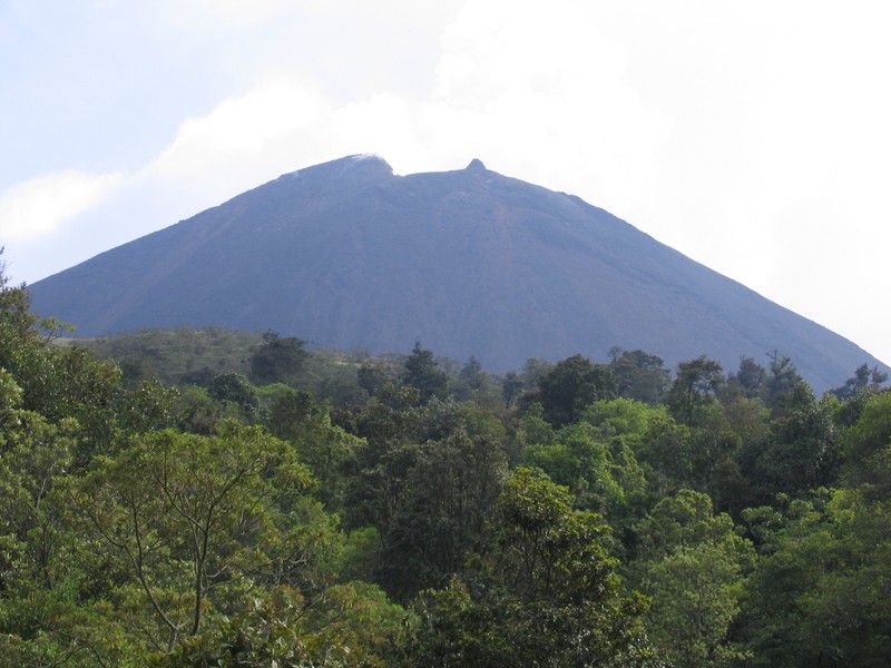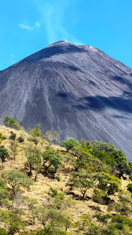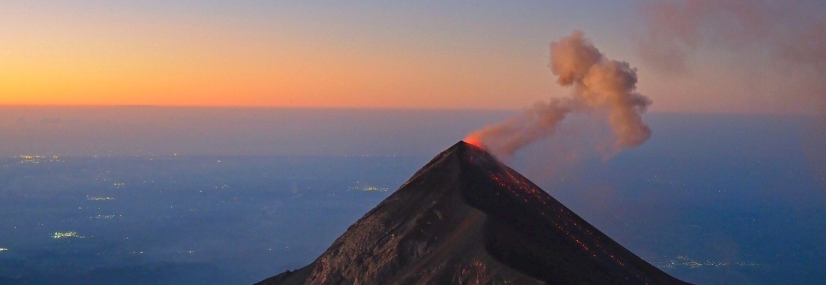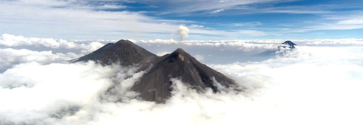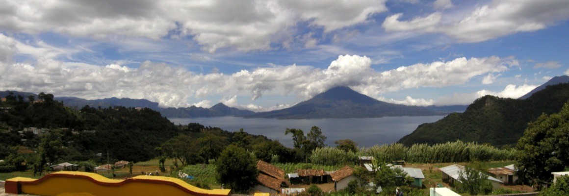

Pacaya Volcano is one of Guatemala's best-known active volcanoes, located about 50 km south of Guatemala City. It rises to approximately 2,552 metres above sea level. Pacaya attracts visitors with its dark lava fields, volcanic rock, fumaroles and panoramic mountain views. It forms part of Pacaya Volcano and Calderas Lagoon National Park.
Location
Pacaya lies in south-central Guatemala, near the municipality of San Vicente Pacaya in the department of Escuintla. The volcanic area is close enough to the capital for a day trip. Its relatively modest elevation and trails through volcanic landscapes make it popular with nature lovers and hikers.
An active volcano and its geology
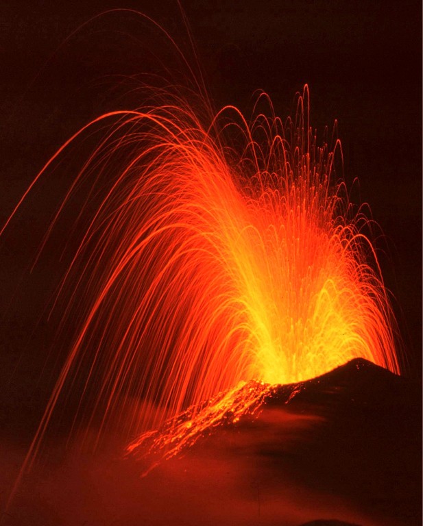
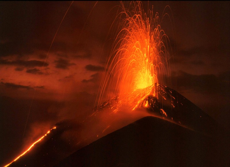
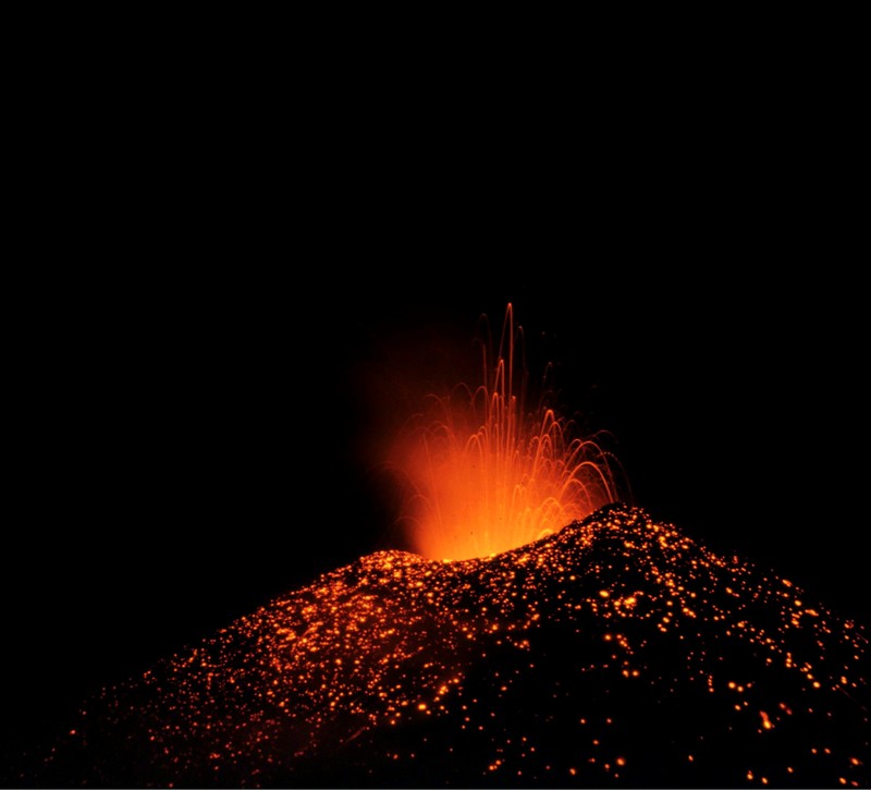
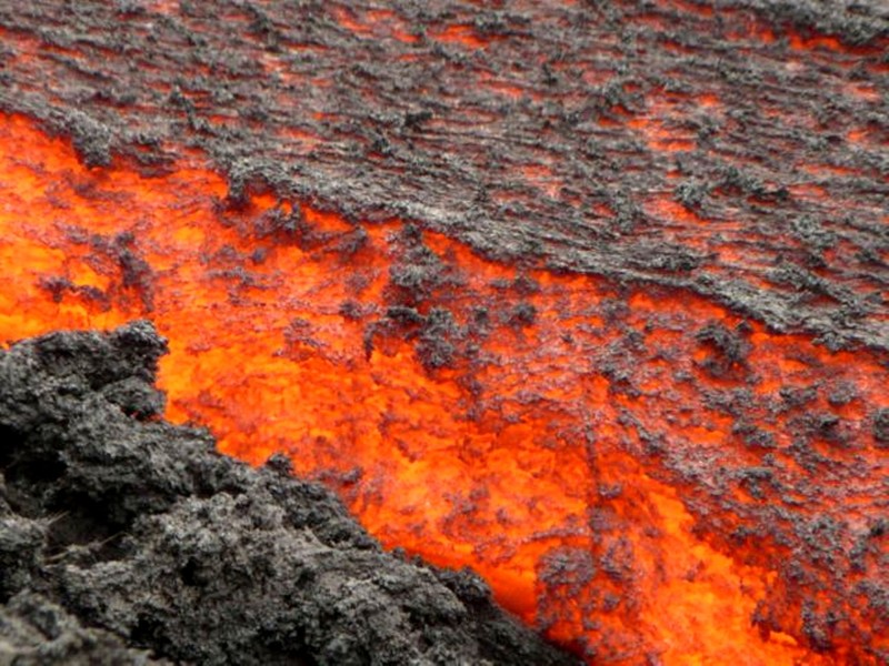
Pacaya is a complex volcanic massif made up of several cones and summits. The modern Mackenney cone developed through prolonged volcanic activity. The volcano is known for Strombolian eruptions, which involve relatively short explosions that eject incandescent rock fragments, ash and gases. At times, lava flows emerge from fissures on its slopes and reshape the surrounding terrain.
Since intense activity resumed in the 1960s, Pacaya has changed shape repeatedly. Particularly notable lava flows occurred between 2019 and 2021. Eruptions leave extensive fields of solidified lava that gradually weather and become covered by vegetation.
Lava fields and volcanic scenery
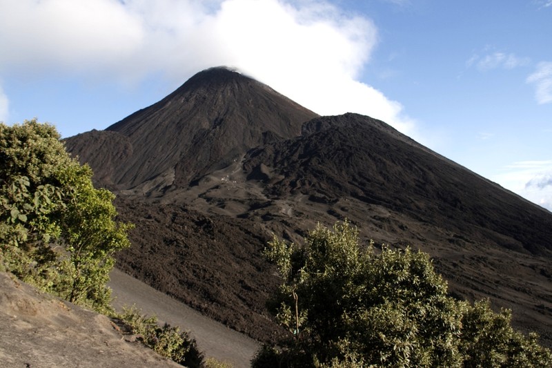
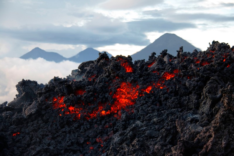
One of Pacaya's main attractions is its dark terrain covered with solidified lava. The surface includes rough boulders, cracks and areas of volcanic sand. Depending on recent activity, some places may retain heat, while steam and volcanic gases can emerge from certain areas.
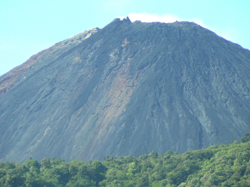
The landscape continues to change under the influence of new eruptions, erosion and plant growth. Green slopes, clouds and neighbouring volcanic peaks stand out against the black lava fields.
National park and Calderas Lagoon
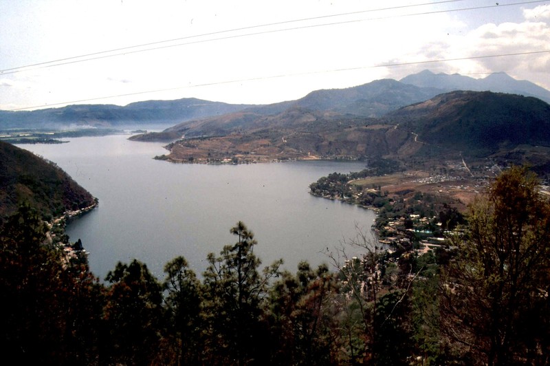
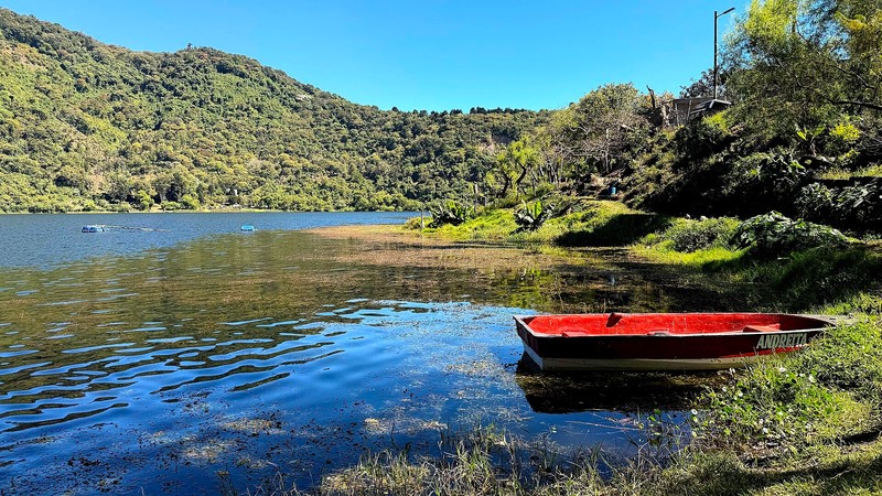
The volcano lies within Pacaya Volcano and Calderas Lagoon National Park, a protected area featuring volcanic landscapes, mountain slopes and Calderas Lagoon. The park has viewpoints and trails for exploring the natural surroundings. Some locations offer views of other Guatemalan volcanoes and inhabited valleys.
Hiking and visiting
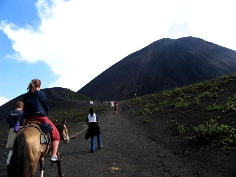
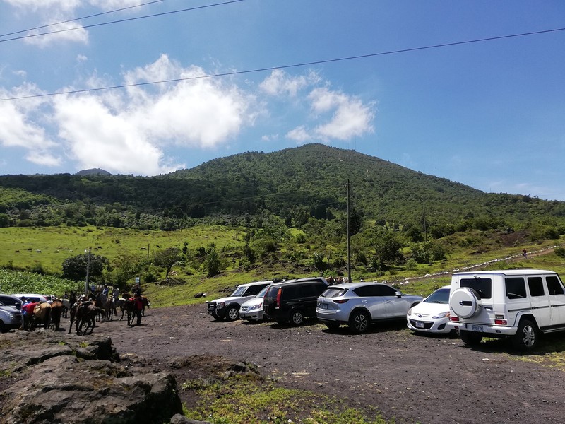
Pacaya is considered one of Guatemala's more accessible volcanoes for guided hikes. A typical excursion takes several hours and follows volcanic slopes towards lava fields and viewpoints. The actual duration and accessible sections depend on trail conditions, weather and current restrictions. Reaching the crater is neither an essential nor an always-permitted part of a visit.
Wear sturdy shoes with good grip, a hat and sun protection, and carry enough drinking water. Exposed slopes can be windy, and volcanic rocks are often uneven and sharp. Stay on marked routes and follow instructions from park staff and local guides.
Best time to visit
The dry season, generally from November to April, is often preferred for hiking. Rain is less frequent during this period, although clouds and wind can still affect visibility and trail conditions. In the rainy season, paths can become slippery and heavy downpours may make travel more difficult. Because Pacaya remains an active volcano, route access depends on current volcanic activity as well as the season.
How to get there
From Guatemala City, visitors usually take the CA-9 Sur highway towards the southern coast, then continue towards San Vicente Pacaya and the park visitor centre. The drive from the capital takes approximately an hour or a little longer, depending on traffic and the final destination.
Safety and visitor rules
Pacaya is an active volcano, and its slopes may be hazardous even when no major eruption is visible. Sudden ejections of volcanic bombs, ash and gases are possible, as are new lava flows. Do not approach the crater, cross barriers or enter closed lava fields independently. Before visiting, check current updates from INSIVUMEH and CONRED, follow park management instructions and never approach lava for photographs.
Gallery