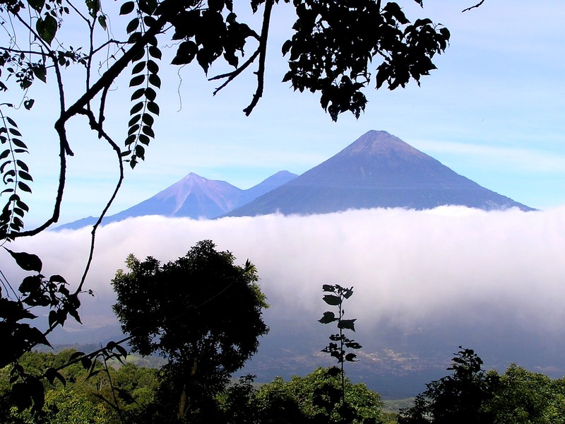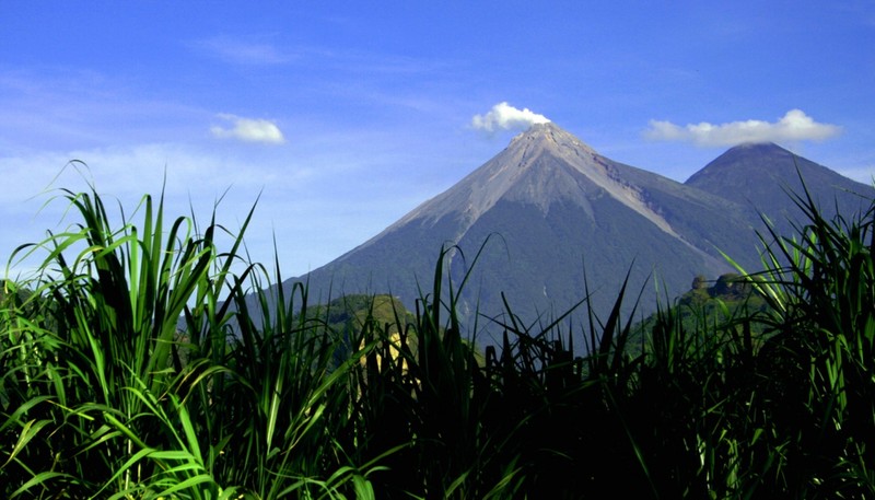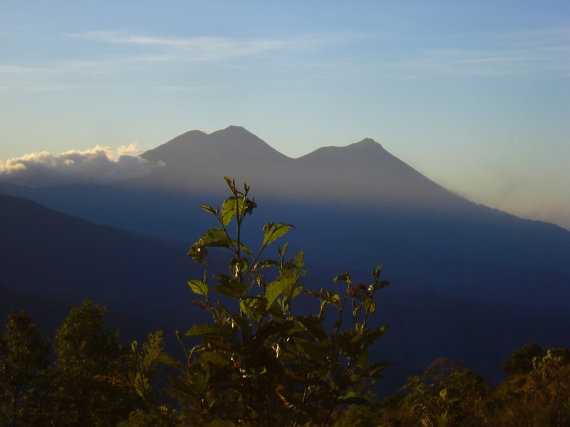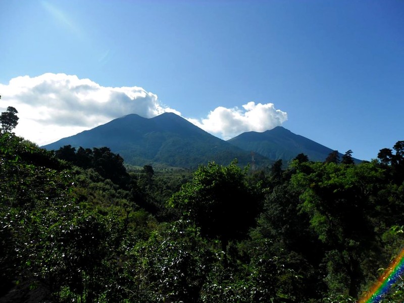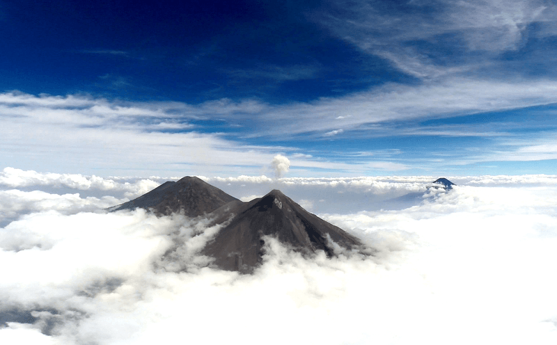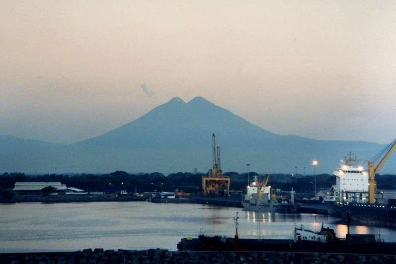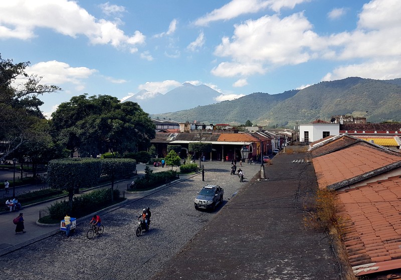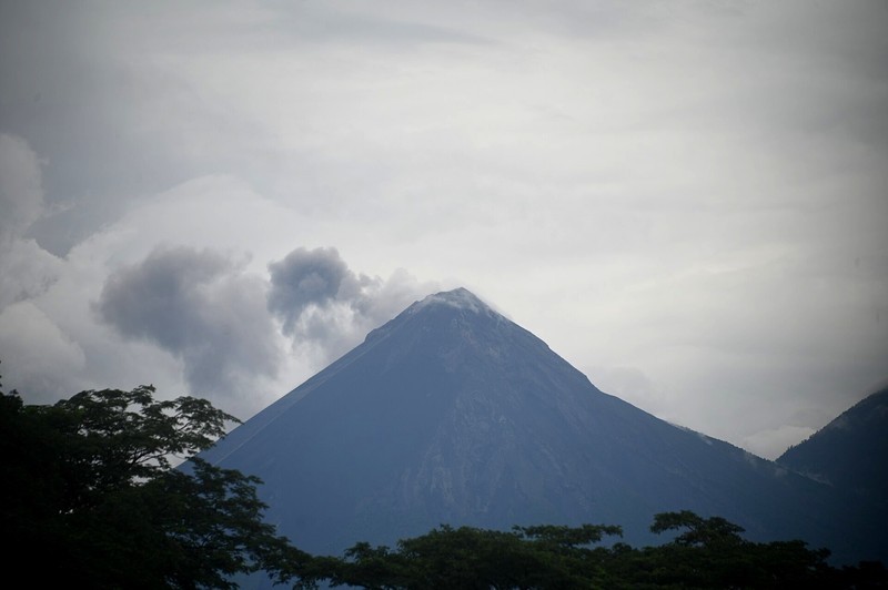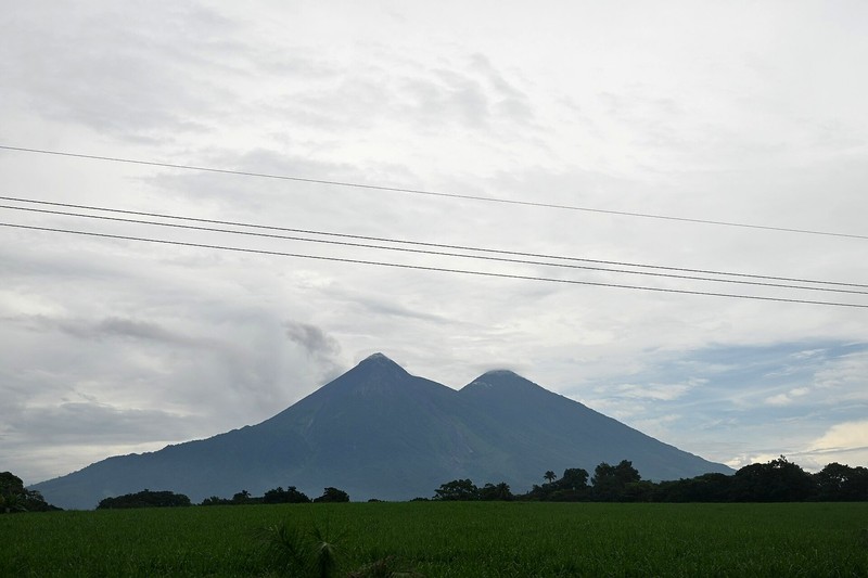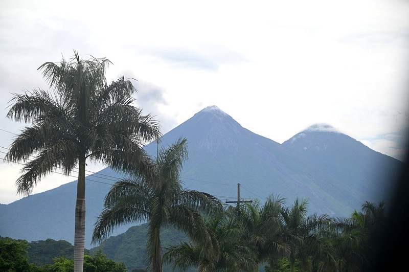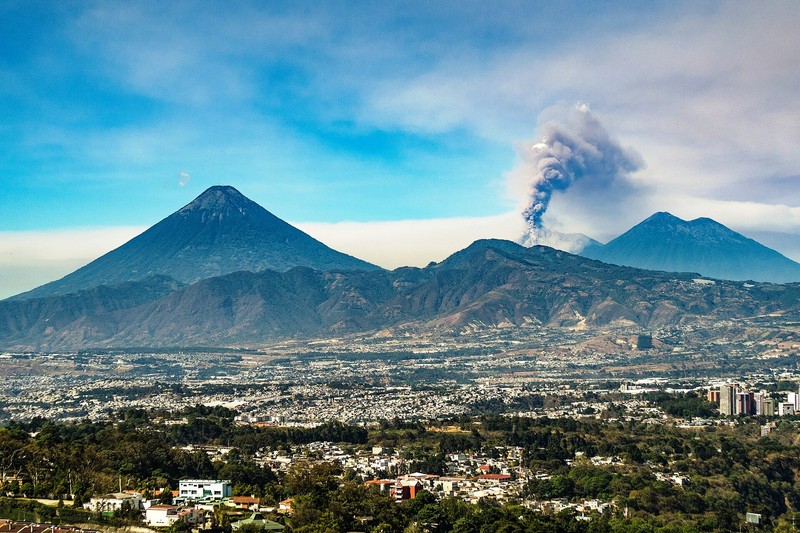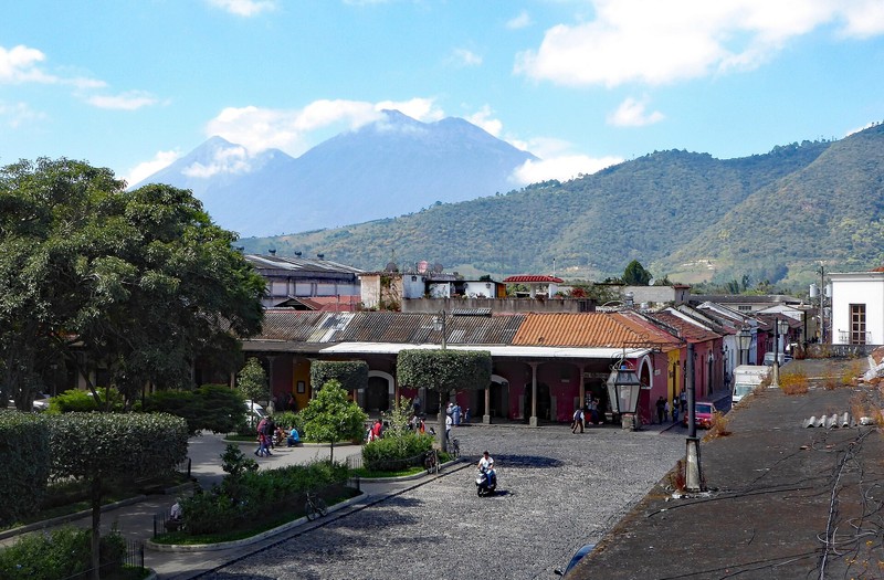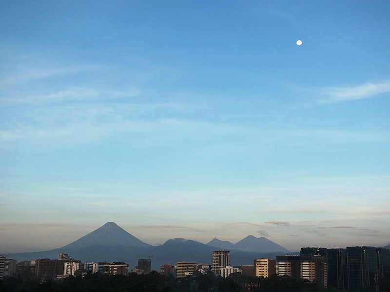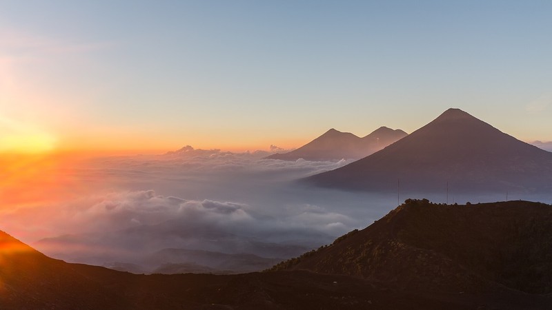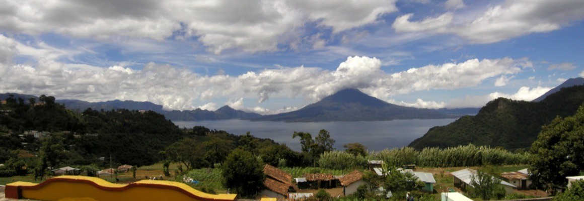

Acatenango Volcano is one of Guatemala's best-known volcanoes, located between the departments of Chimaltenango and Sacatepéquez. Its main summit, El Plato, rises to 3,976 metres above sea level. The volcano attracts hikers with its mountain scenery, changing vegetation and views of neighbouring Fuego Volcano.
Location
Acatenango lies in southwestern central Guatemala, not far from Antigua Guatemala. Together with Fuego Volcano, it forms a striking volcanic complex. Popular hiking routes begin near the village of La Soledad.
Two summits
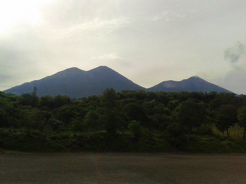
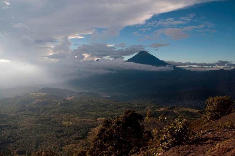
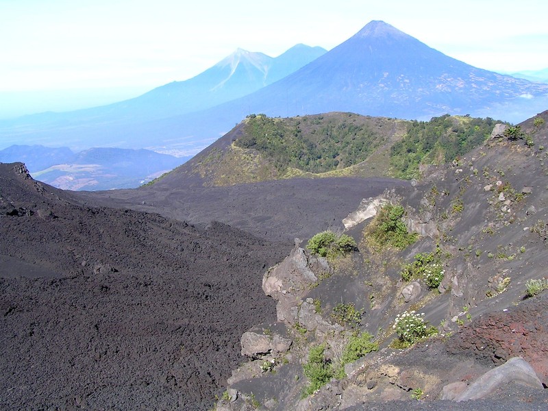
The volcano has two main summits. The northern summit is called Yepocapa, or Tercera María, and reaches approximately 3,800 metres. The southern summit, El Plato, also known as Bonete, is the highest point at 3,976 metres. On clear days, the summit offers sweeping views of Guatemala's volcanic chain.
Views of Fuego Volcano
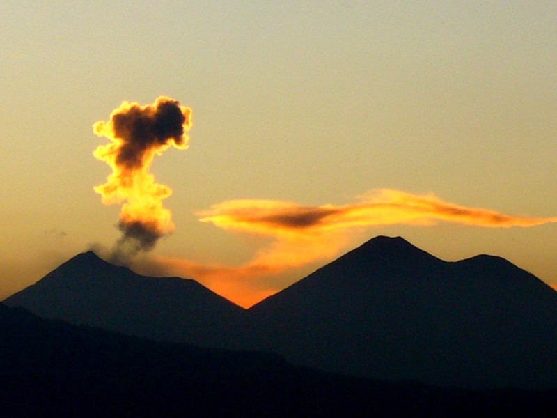
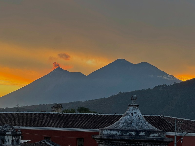
Acatenango is especially popular because it stands close to Fuego, one of Central America's most active volcanoes. From some sections of the trail and designated camps, visitors may see ash emissions and volcanic bursts. Fuego should only be observed from permitted safe locations and in accordance with instructions from local authorities and guides.
Nature and changing landscapes
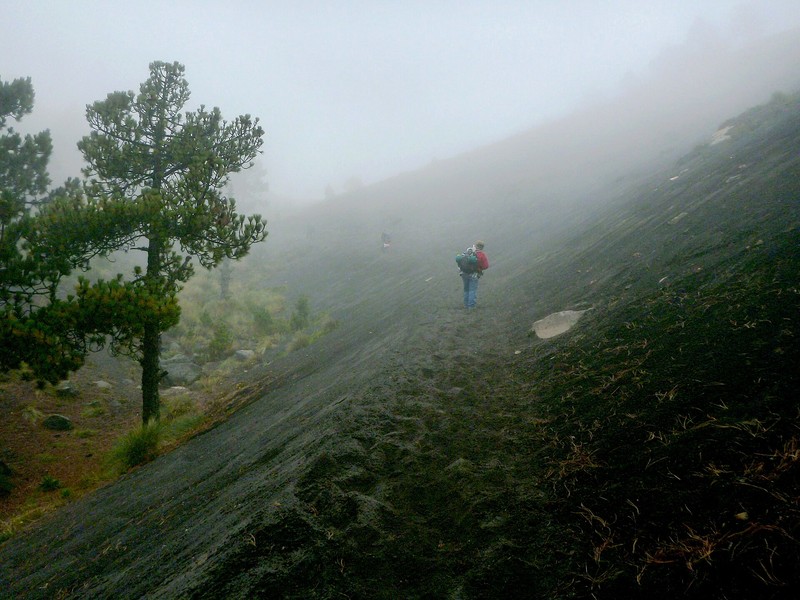
The ascent passes through several natural zones. Agricultural fields give way to pine forest and cloud forest, followed by exposed high-altitude slopes. Temperatures drop, winds strengthen and vegetation becomes sparser as the elevation increases.
Hiking Acatenango
The climb is physically demanding, with steep sections and loose volcanic sand and ash. Many visitors choose a two-day trek with an overnight stay at a high-altitude camp to experience sunset, Fuego's nighttime activity and sunrise over the mountains.
Bring hiking boots, warm layered clothing, a windproof jacket, water, food and a headlamp. Consider your fitness and the possibility of altitude sickness. Hiking with an authorised local guide and staying with the group are strongly recommended.
Best time to visit
The dry season, usually from November to April, is the most popular period for hiking. From May to October, rain can make trails muddy and slippery, while clouds may obscure the summits. Mountain weather changes quickly, so check forecasts and local guidance before setting out.
How to get there
From Guatemala City, travel along the Pan-American Highway towards Chimaltenango, then continue via Parramos and the municipality of Acatenango to La Soledad. The drive usually takes around two hours, depending on traffic and transport arrangements.
Safety and access
Because Acatenango is close to active Fuego Volcano, access may be restricted or suspended when conditions are dangerous. Check notices from CONRED and local authorities before travelling, follow your guide's instructions, camp only in authorised areas and keep away from hazardous slopes and potential volcanic flow zones.
Gallery