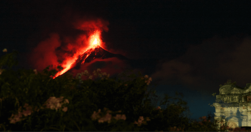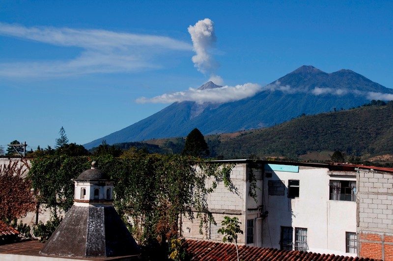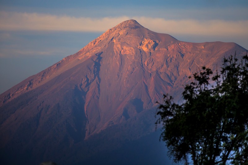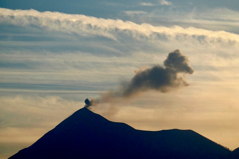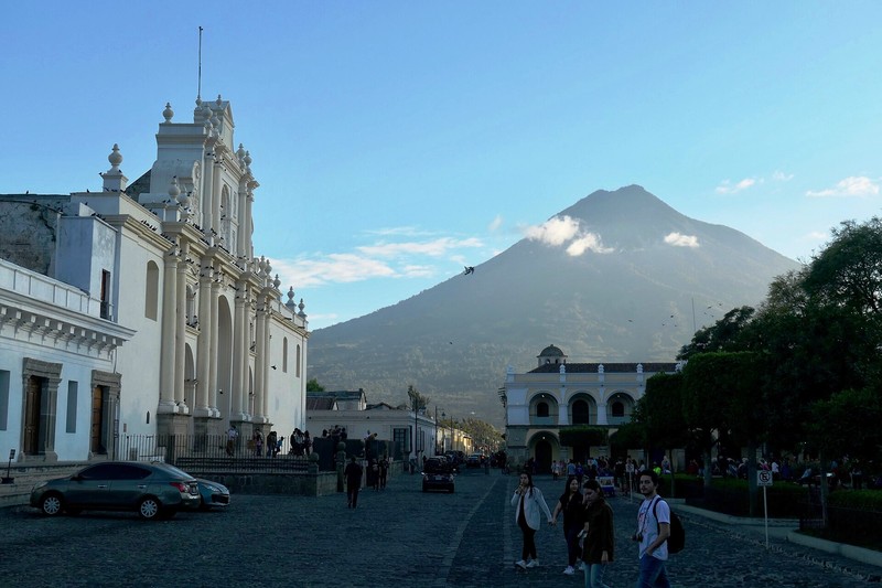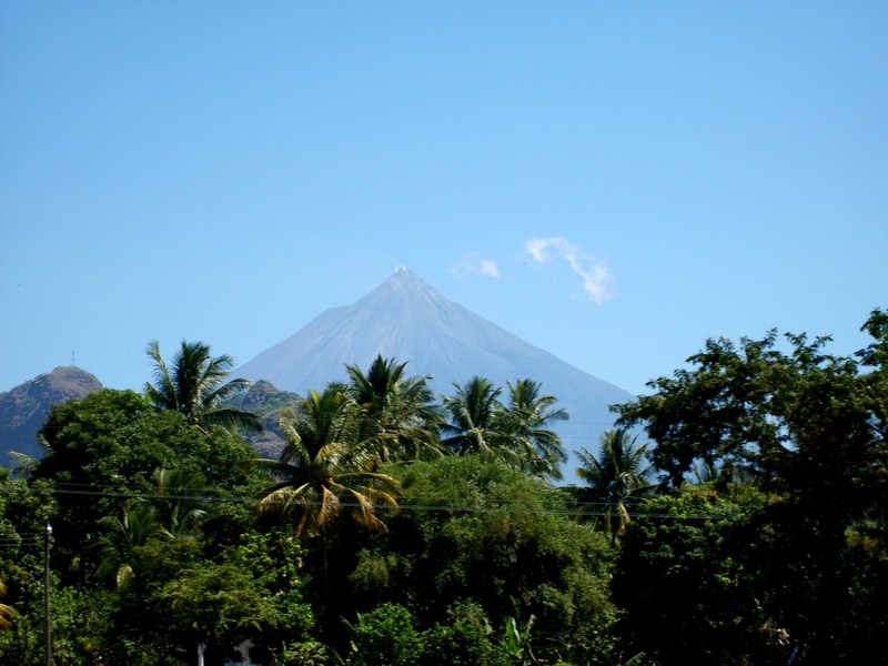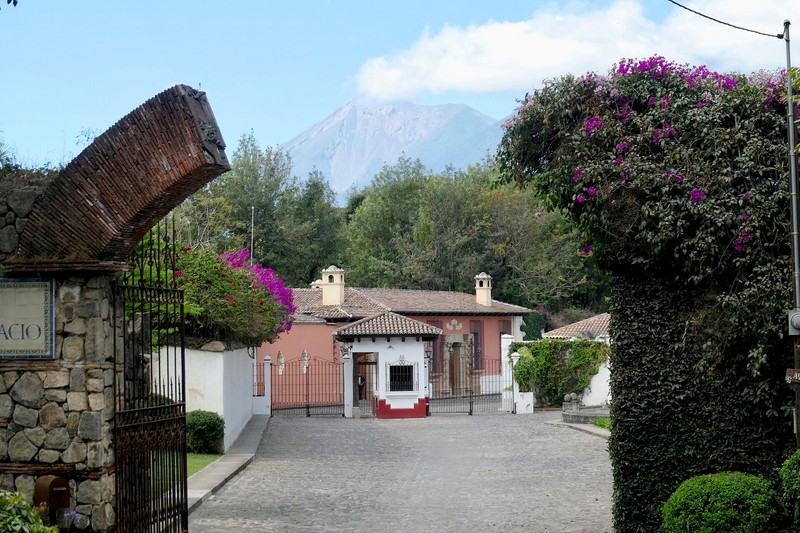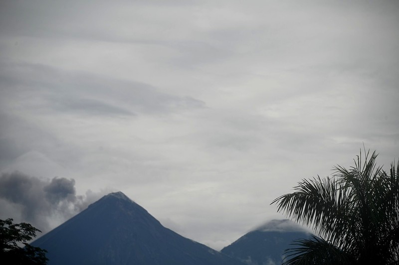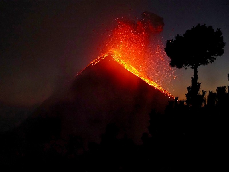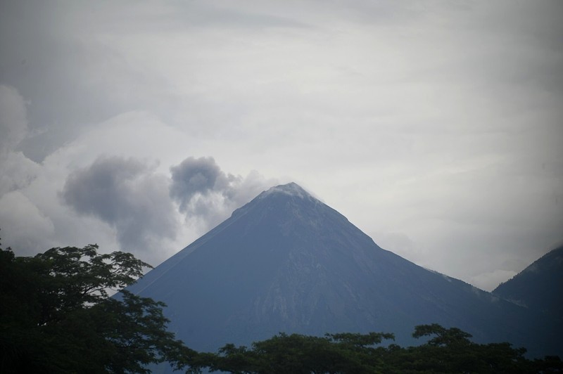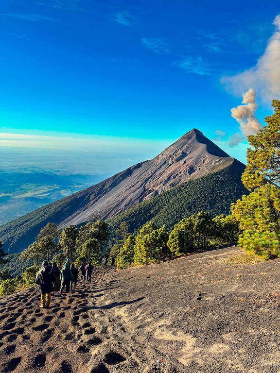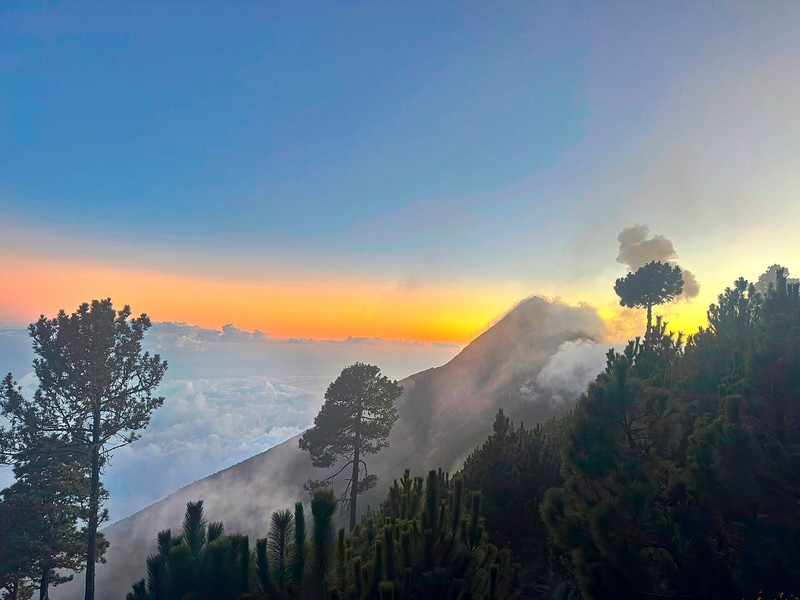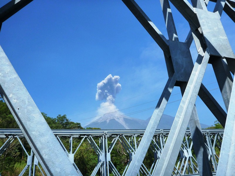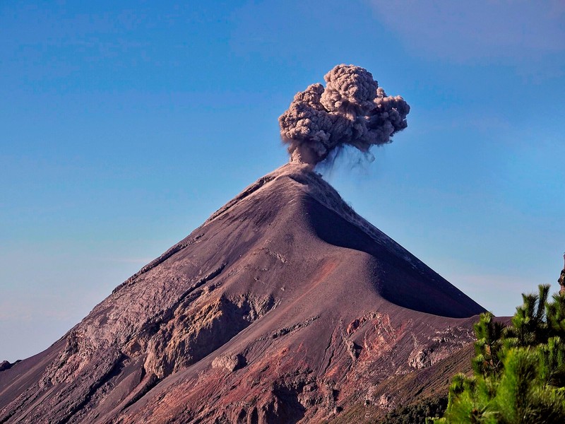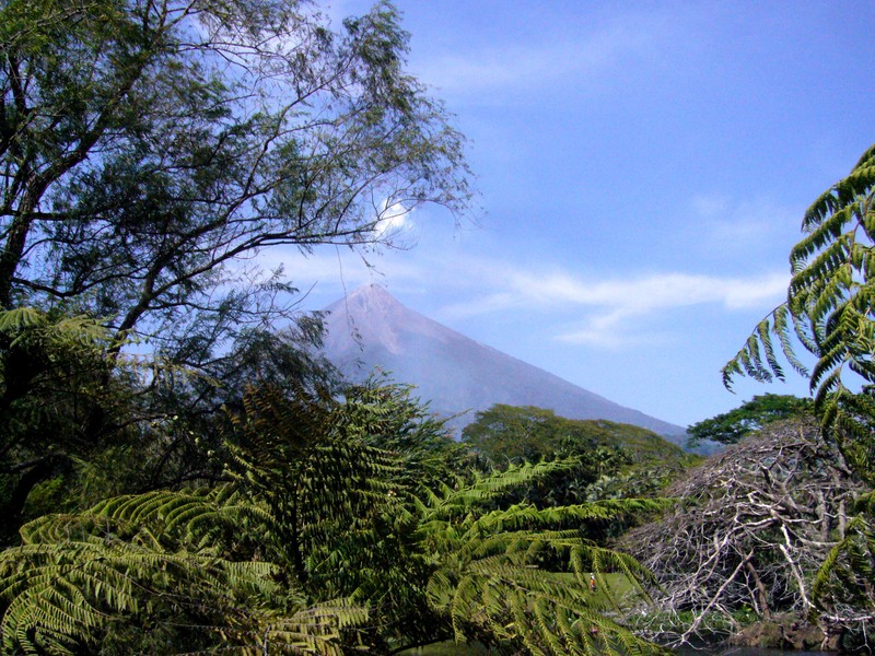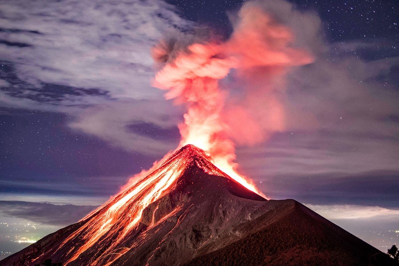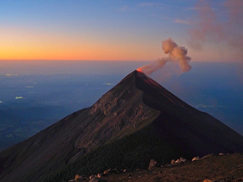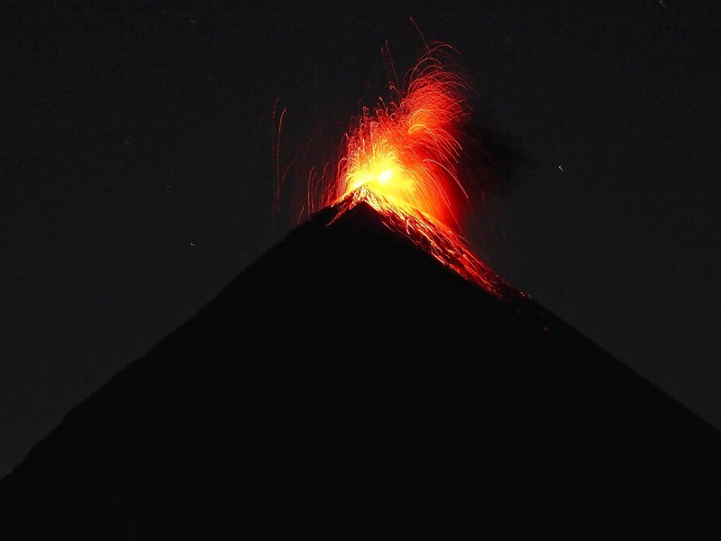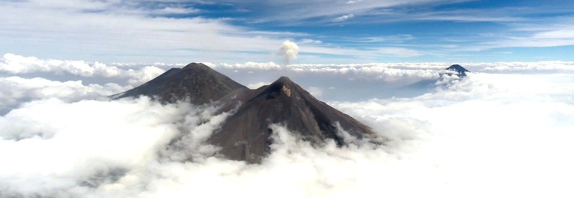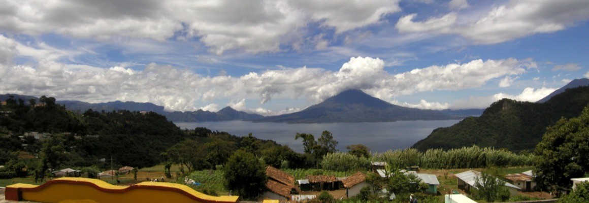

Fuego Volcano is one of the most active volcanoes in Central America, located in southern Guatemala. It rises to about 3,799 metres above sea level and is known for frequent explosive eruptions, ash emissions, incandescent rock fragments and gas plumes above its crater. Together with neighbouring Acatenango and Agua volcanoes, it forms a striking mountain skyline.
Location
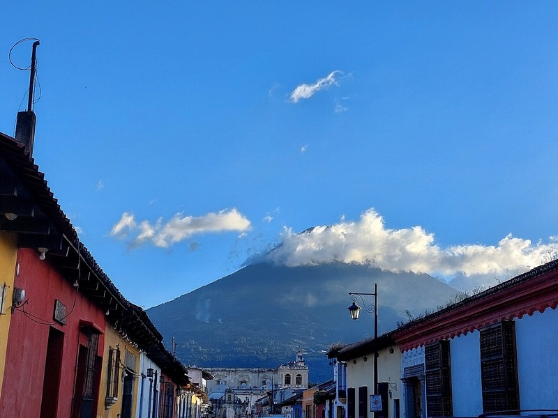
Fuego lies within Guatemala's volcanic chain, near the departments of Sacatepéquez, Chimaltenango and Escuintla. It is not far from Antigua Guatemala, a historic city popular with travellers. Acatenango Volcano rises nearby and has hiking routes and designated places from which Fuego can sometimes be observed at a distance.
An active stratovolcano
Fuego is a stratovolcano formed by alternating layers of lava, ash and other volcanic deposits. Its steep slopes rise towards a summit crater that regularly releases gas and ash. Eruptions may also eject incandescent rock fragments, trigger collapses of volcanic material and generate pyroclastic flows–fast-moving clouds of hot gas, ash and rock debris.
Eruptions and volcanic activity
Fuego's activity is persistent and variable. During relatively quiet periods, gas emissions rise above the crater, while smaller explosions may produce rumbling sounds and ash. When activity intensifies, ash plumes can travel considerable distances, and hot fragments or volcanic flows may descend rapidly through ravines on the slopes.
One of the most tragic eruptions occurred on 3 June 2018. Powerful pyroclastic flows reached populated areas at the foot of the volcano and caused many fatalities. The disaster demonstrated that volcanic hazards remain severe even when activity appears limited or the volcano is viewed from afar.
Observing the volcano
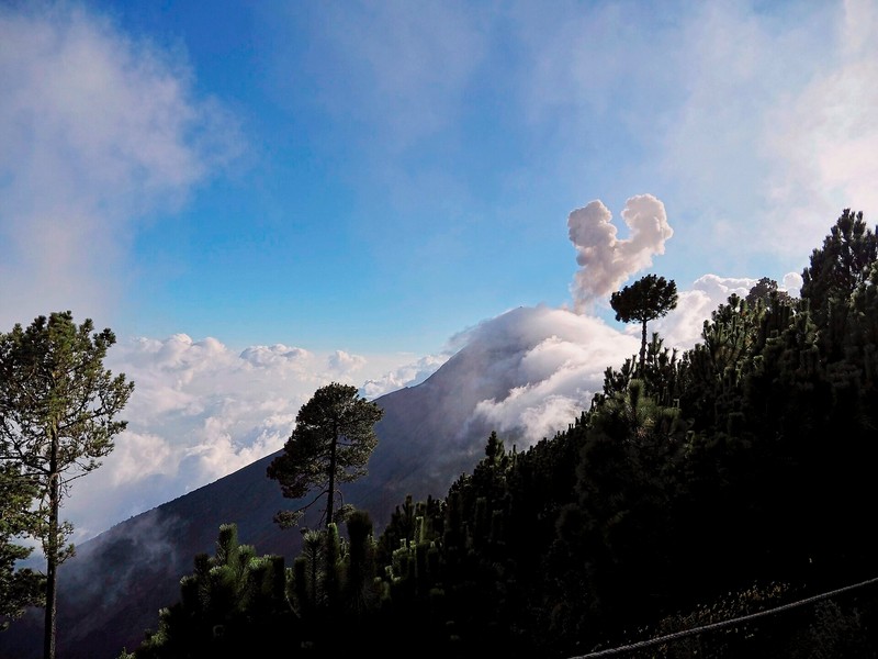
Fuego attracts travellers who hope to witness volcanic activity in its natural setting. From some distant locations, including permitted sections of routes on Acatenango, visitors may see ash emissions and glowing bursts during nighttime explosions when conditions allow. Visibility depends on clouds, weather and the volcano's current behaviour.
Fuego should not be treated as an ordinary summit for independent hiking. Approaching the crater or entering hazardous areas may be prohibited. Follow current restrictions, use only authorised viewpoints and obey local authorities and official guides.
Nature and surrounding landscapes
Vegetation on the volcano's slopes changes with elevation and moisture. Lower areas include farmland and forest, while natural cover becomes thinner higher up. Volcanic deposits, steep ravines and areas of young rock create a rugged landscape continually reshaped by eruptions, erosion and rainfall.
When to observe Fuego
The dry season, usually from November to April, often offers better conditions for viewing mountain scenery. During the rainy season, clouds and precipitation may obscure the summit, while heavy rainfall increases the risk of lahars–mud and debris flows formed when water mixes with volcanic deposits. Fuego's activity is not seasonal, however, and clear weather does not mean that nearby areas are safe.
Getting to the volcano area
Antigua Guatemala is a common base for visiting the area around Fuego. Trips to authorised viewpoints and excursions in the Acatenango area can be arranged from there. Access depends on the route, road conditions and current restrictions. Before travelling, confirm which areas are open to visitors.
Safety and visitor rules
Fuego presents serious hazards, including sudden explosions, ejected rocks and ash, pyroclastic flows and lahars. Do not approach the crater, enter closed areas or remain in ravines where volcanic material may descend. Check current bulletins from INSIVUMEH and warnings from CONRED before travelling, follow local authorities' instructions and never judge safety by the volcano's appearance alone.
Gallery