
Geirangerfjord is a spectacular sea inlet in western Norway, surrounded by towering mountains, steep cliffs and numerous waterfalls. It is one of the country's most recognisable natural landmarks. In summer, green slopes contrast with dark rock faces, snowy peaks and deep blue water, creating a landscape best appreciated from a boat or a mountain viewpoint.
The fjord lies in Møre og Romsdal county and forms part of the Storfjord system, extending towards the village of Geiranger. In 2005, Geirangerfjord and Nærøyfjord were inscribed on the UNESCO World Heritage List as part of the West Norwegian Fjords property.
How the fjord was formed
Glaciers shaped the landscape over successive ice ages, carving deep valleys and steep mountain walls. After the ice retreated, seawater flooded parts of these valleys, creating the long, deep inlets now known as fjords. The surrounding cliffs rise hundreds of metres above the water, while mountain peaks dominate the skyline.
The Seven Sisters waterfall
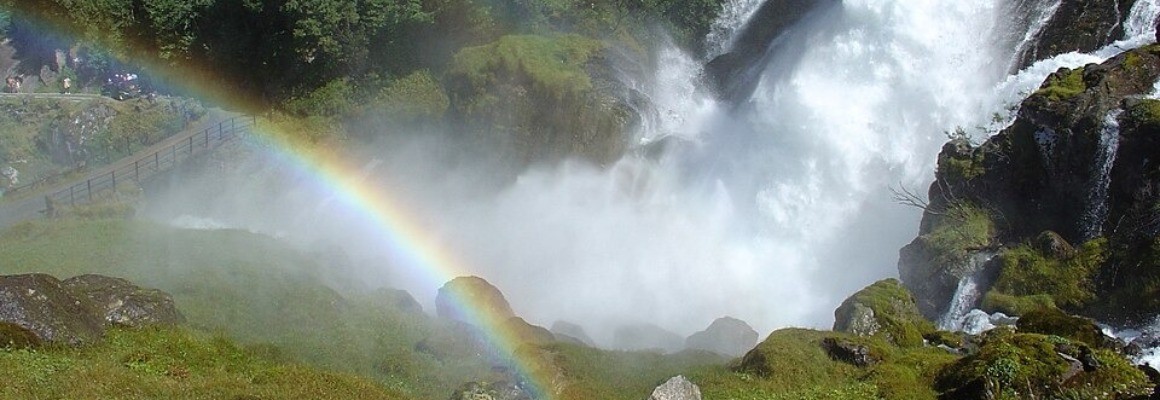
The best-known waterfall is the Seven Sisters, or De syv søstrene. It consists of several separate streams plunging down a high rock face towards the fjord. Opposite it is the Suitor waterfall, Friaren, which features in a local legend about a suitor trying to win the sisters' attention. Another famous cascade is the Bridal Veil, Brudesløret, whose fine streams can resemble a translucent veil in the mist.
The waterfalls change with the seasons and the amount of rainfall and melting snow. They are often especially powerful in spring and early summer, while individual streams may become thinner during drier periods.
Historic mountain farms
Geirangerfjord is also a landscape shaped by generations of people who lived in difficult mountain conditions. Remains of old farms can be found on narrow ledges above the water. Their inhabitants relied on small plots of land, livestock and the resources of the fjord.
One of the best-known sites is Skageflå, a historic farm perched high above the fjord with sweeping views of the water, cliffs and waterfalls. It can be reached by a mountain trail or, when available, by boat transfer to the trailhead followed by a climb. Other former farms, including Knivsflå, reveal how challenging everyday life was in this steep terrain, where landslides, avalanches and limited farmland posed constant difficulties.
Geiranger village and the surrounding area
The small village of Geiranger lies at the head of the fjord and serves as the main base for exploring the region. It has a harbour, accommodation, cafés and tourist services. The Norwegian Fjord Centre is a useful stop for learning about geology, glaciers, natural processes, local history and the protection of the World Heritage landscape.
Viewpoints
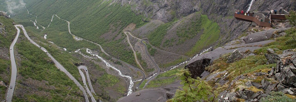
Flydalsjuvet is one of the most famous viewpoints, offering a sweeping view of the fjord, mountains and village. Ørnesvingen, also known as the Eagle's Bend, sits along a mountain road above the water and provides views of waterfalls and steep slopes. Dalsnibba offers a broad mountain panorama in suitable weather, but access depends on road and seasonal conditions.
Things to do
A sightseeing cruise is one of the best ways to experience the fjord. From the water, visitors can see the waterfalls, sheer cliffs and historic farms high above the shore. Shorter trips focus on the main highlights, while longer cruises explore more of the fjord.
Hikers can follow the Fosseråsa trail from Geiranger towards Storsæterfossen, where it may be possible to walk behind the waterfall when conditions allow. Kayaking offers a close-up view of the cliffs and cascades, but the water is cold and weather can change quickly. Beginners should consider a guided trip. Scenic roads also provide access to viewpoints, although some routes include steep climbs and narrow sections.
When to visit
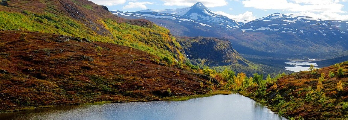
The main travel season runs from late spring to early autumn. Spring often brings strong waterfalls as snow melts, although some mountain roads and trails may remain closed. Summer is the easiest time for cruises, hikes and scenic drives, but it is also the busiest season. In early autumn, the colours begin to change and visitor numbers may decrease. Winter offers snowy mountains and a different atmosphere, but transport, excursions and access to viewpoints can be limited.
How to get there
Geirangerfjord can be reached by car, bus, ferry or sightseeing vessel. Ålesund is one of the nearest major transport hubs. The drive from Ålesund to Geiranger takes roughly three hours, depending on the route, ferry connections and road conditions. Check seasonal road closures and ferry schedules before travelling. Boat and bus excursions may run on seasonal timetables, so advance planning is advisable during summer.
Practical travel tips
Bring a waterproof jacket, warm layers and shoes with good grip, even in summer. Weather can be considerably colder and windier at viewpoints than beside the fjord. Allow at least one full day, preferably two, to combine a cruise, viewpoints and a walk without rushing. Follow marked trails, avoid cliff edges and use designated parking areas. Do not leave litter or damage vegetation and historic structures.
Conservation and heritage
Geirangerfjord is more than a scenic destination: it is a landscape of outstanding natural and cultural value. Its UNESCO status highlights the importance of protecting its geology, waterfalls, habitats and traces of traditional mountain life. Visitors can help by respecting private property, staying on marked routes and following local safety guidance, particularly in areas exposed to rockfalls, avalanches and rapidly changing weather.
With its dramatic waterfalls, historic farms, mountain panoramas and opportunities for outdoor adventure, Geirangerfjord offers a memorable introduction to the natural landscapes of Norway.
Gallery