Hakusan National Park
Hakusan is a national park and biosphere reserve in Japan, located in the prefectures of Gifu, Ishikawa, Toyama and Fukui, 30 km southeast of Kanazawa and 100 km north of Kyoto. The National Park was established in 1962, and in 1980 it became part of the worldwide network of biosphere reserves.
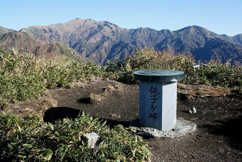
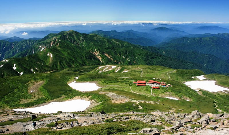
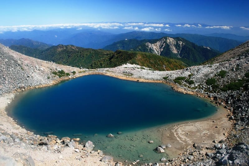
The area of the park is 477 km2. The park is located in a mountainous area. The altitude above sea level ranges from 170 to 2,702 meters. Its main peak is Mount Hakusan. The Tadori River flows at the foot of the mountain. There are many lakes and ponds in the park. In particular, Lake Sandzyagaike, located in one of the volcano's craters, is covered with ice all year round.
Flora of the park Hakusan varies depending on height. Low altitudes are characterized by coniferous forests with a predominance of such species as Marisa fir, spinous pine and Japanese cryptometry. With increasing altitude, the area becomes rich in such species as narcissus-flowered anemone and spinous fingerroot, sometimes you can find lonely coniferous trees. The park is home to such animals as Japanese macaques, white-breasted bears, spotted deer, as well as golden eagles and mountain crested eagles.
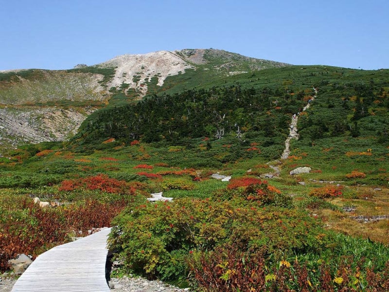
Mount Hakusan is one of the three sacred mountains of Japan, and there are no permanent settlements on it. There are several villages at the foot of the mountain, with a total population of about 30 thousand people.


