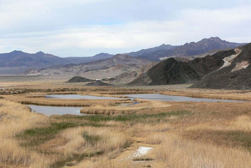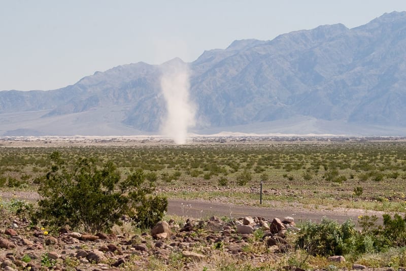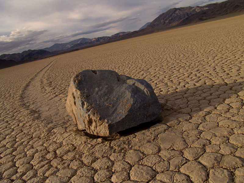

Death Valley National Park is a vast protected area in eastern California and partly in Nevada, famous for extreme heat, immense salt flats, colorful rock formations, sand dunes, and rugged mountain scenery. It is the largest national park in the contiguous United States. Its landscapes range from some of North America’s lowest elevations to high mountain summits, creating striking contrasts within a single desert region.
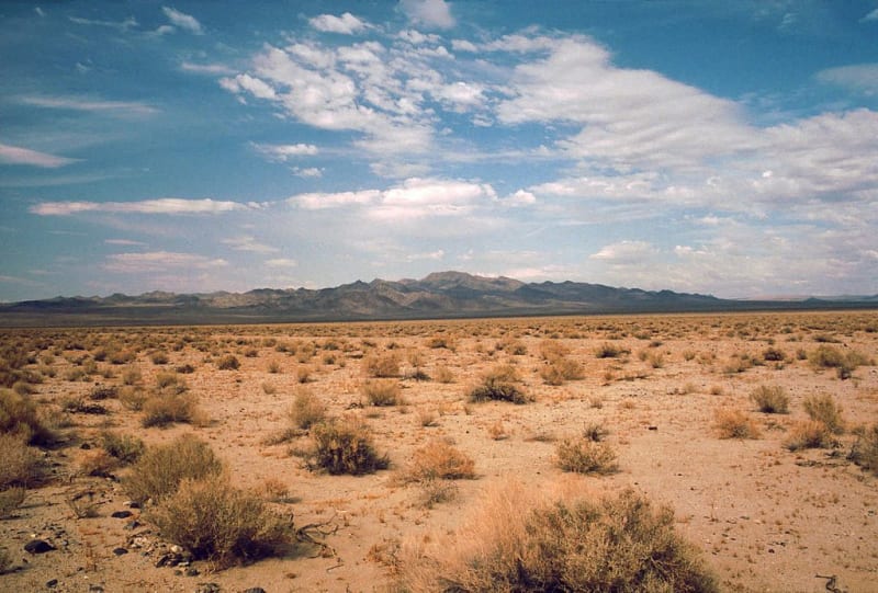
The park covers approximately 13,650 square kilometers. It includes much of the Mojave Desert and a long basin between the Amargosa and Panamint mountain ranges. Despite its name, Death Valley is not lifeless: plants and animals have adapted to limited water, sharp temperature changes, and an exceptionally dry climate.
Badwater Basin: North America’s lowest point
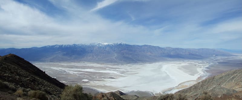
One of the park’s most famous features is Badwater Basin, which lies about 86 meters below sea level. Vast salt flats cover its floor and can resemble a field of snow from a distance. The white crust formed as ancient lakes and temporary pools evaporated, leaving dissolved minerals behind.
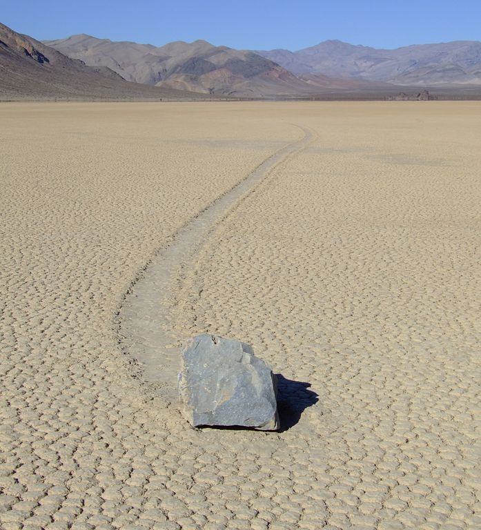
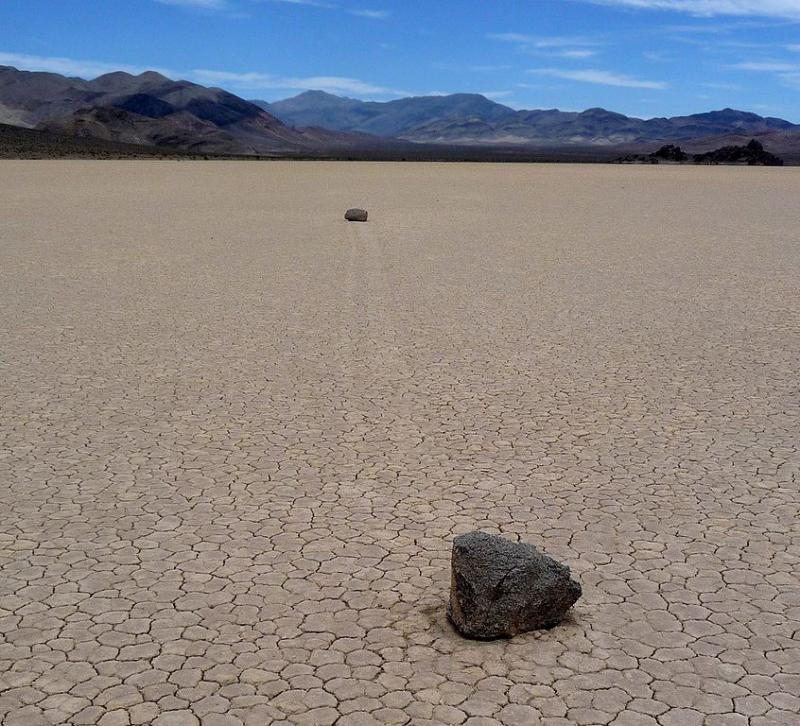
The salt flat displays unusual polygonal patterns created by salt crystals and drying mud. An ancient lake known as Lake Manly once occupied this basin during a wetter climate. Today, water appears only temporarily after rainfall and soon evaporates. The name Badwater refers to the high salinity of a nearby spring-fed pool, whose water is not suitable for drinking without treatment.
Colorful mountains and rock formations
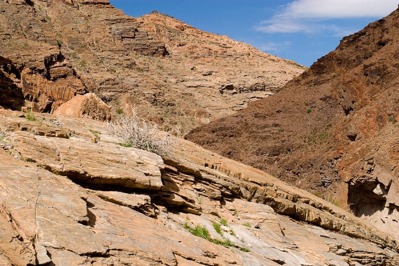
Death Valley’s geological history spans billions of years. The park contains ancient metamorphic rocks, limestone, sandstone, volcanic deposits, and young salt-pan sediments. Movement of the Earth’s crust gradually lifted mountains and lowered valleys, while wind, water, and temperature changes continued to reshape the surface.
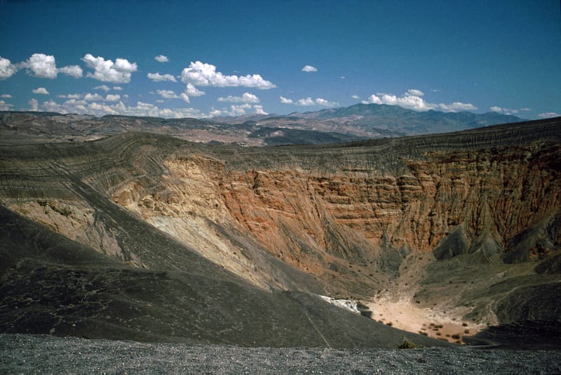
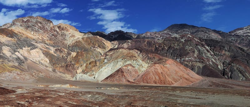
Artist’s Palette is especially famous for hills colored in shades of yellow, pink, green, and purple. These colors result from minerals in the rocks and oxidation processes. Another unusual feature is Ubehebe Crater, formed by a powerful steam explosion when hot material came into contact with groundwater.
Mesquite Flat Sand Dunes
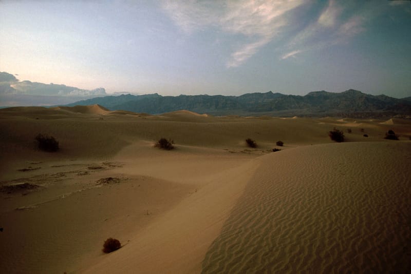
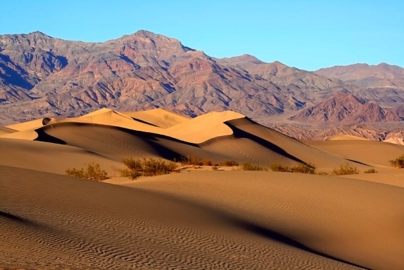
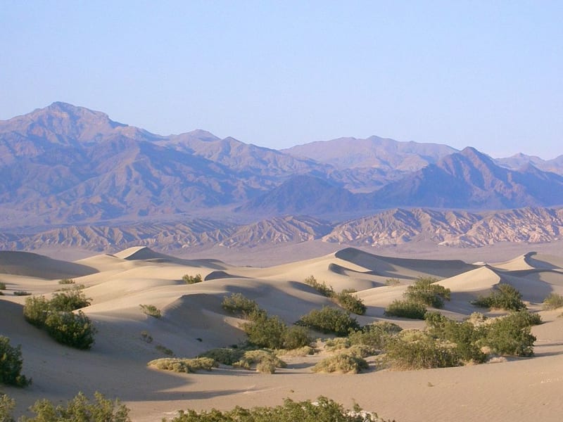
Mesquite Flat Sand Dunes are among the park’s most recognizable landscapes. Wind moves the sand and shapes smooth ridges that change after storms. At sunrise and near sunset, low-angle light emphasizes the ripples and creates long shadows. Although dunes are often associated with Death Valley, they cover only a small part of its enormous territory.
Visitors should consider the heat, distances, and lack of shade when walking among the dunes. Sand can become extremely hot, and the return walk may be harder than it appears from the road. Check conditions before setting out and carry plenty of drinking water.
Zabriskie Point and desert views
Zabriskie Point is a popular overlook with broad views of rolling hills and eroded clay-rich formations. The terrain resembles frozen waves, taking on warm golden colors in the morning and evening. It is one of the best places to appreciate the park’s geology without undertaking a long hike.
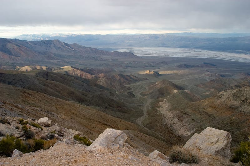
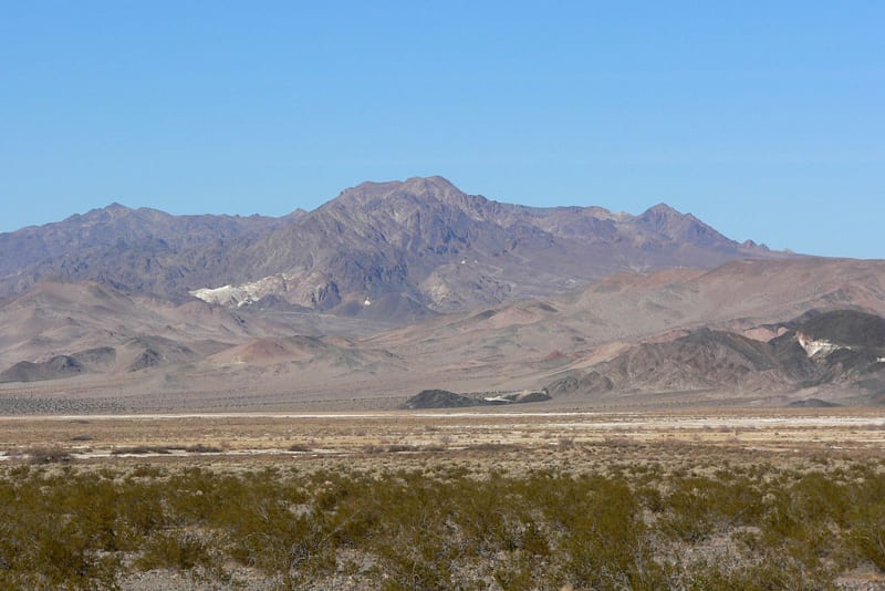
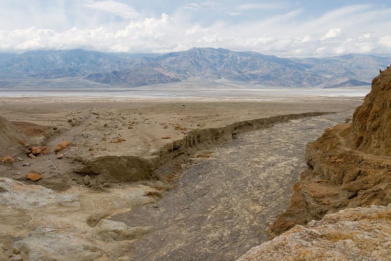
Visitors looking to explore further can discover canyons, mountain roads, and remote valleys. The scenery changes quickly: flat salt pans give way to rocky ravines, while desert plains rise toward high mountains. Snow can fall at higher elevations in winter, even when the valley floor remains much warmer.
The Panamint Range and Telescope Peak
The Panamint Range forms the western boundary of the valley. Its highest summit, Telescope Peak, rises to approximately 3,368 meters above sea level. The enormous elevation difference between this mountain and Badwater Basin illustrates the region’s dramatic geology. The mountains are cooler than the valley floor, and winter may bring snow and difficult road conditions.
High-country trails are best suited to prepared hikers. Before setting out, consider route length, elevation gain, trail conditions, and seasonal restrictions. Weather can change quickly even during cooler months, and assistance may take time to reach remote locations.
Plants and wildlife
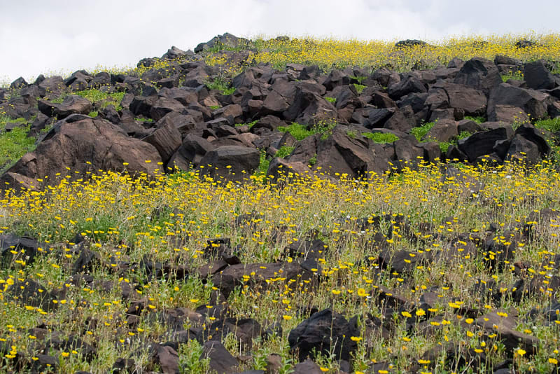
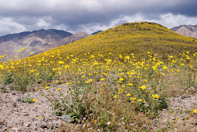
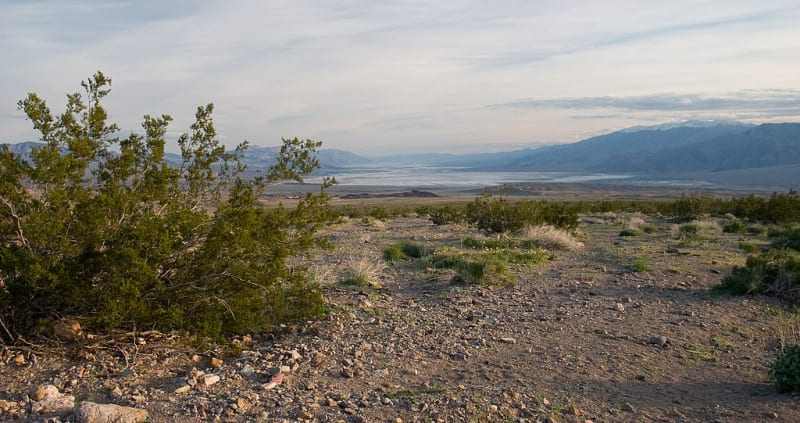
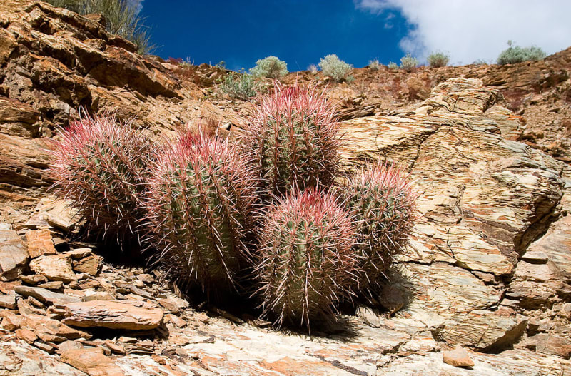
Death Valley’s vegetation is adapted to scarce moisture. Salt-tolerant plants and sparse shrubs grow in low areas, while junipers and other cold-tolerant species occur on higher slopes. After rainy winters, parts of the desert may bloom with wildflowers. Spectacular displays occur only when rainfall and temperatures align favorably, so a bloom is not guaranteed every year.
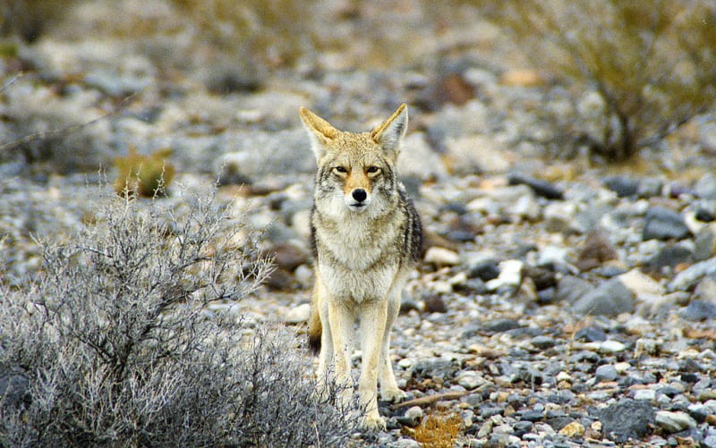
The park is home to desert bighorn sheep, coyotes, hares, lizards, snakes, and many bird species. Some animals are mainly active at night or during cooler hours to avoid the daytime heat. A particularly unusual site is Devils Hole, an isolated aquatic habitat for the rare Devils Hole pupfish, a species adapted to the conditions of a small desert spring and protected for its survival.
History and cultural heritage
People lived in this region long before modern roads and tourist routes existed. Indigenous peoples, including the Timbisha Shoshone and other regional communities, relied on local water sources, plants, and wildlife while adapting to desert conditions. Their history remains an important part of the park’s cultural heritage.
In the nineteenth century, groups of westbound migrants crossed the valley. In 1849, one such party faced serious difficulties while traveling through the desert, and the name “Death Valley” became established in historical accounts. Later, mining, including borax extraction, and small settlements developed in the area. The remains of mines, old roads, and buildings recall this period.
The area became a national monument in 1933 and was redesignated and expanded as a national park in 1994. Today, it is protected for its distinctive geology, desert ecosystems, historic sites, and extensive wilderness.
When to visit
Autumn, winter, and spring are generally the most comfortable seasons to visit, roughly from October through April or May. Daytime temperatures are more likely to allow walking and sightseeing during this period. Wildflowers may bloom in spring when conditions are favorable, but the intensity of the display depends on rainfall and cannot be guaranteed.
Summer temperatures on the valley floor become extreme. Heat can be dangerous even during short walks, so long hikes during the day are not recommended. Before traveling, check current alerts, road conditions, trail access, and the weather forecast.
What to know before your trip
Death Valley is enormous, and attractions can be far apart. Plan your route in advance, keep the vehicle fueled, carry more water than you think you will need, and do not rely on continuous mobile service. On remote roads, follow park guidance and stay on authorized routes.
Remain on designated trails in fragile areas, do not collect minerals, and avoid damaging the salt crust. Prevent overheating, monitor how you feel, and never leave people or animals inside a closed vehicle. With proper preparation, Death Valley reveals itself not merely as a place of extreme heat, but as one of North America’s most varied and remarkable desert landscapes.
Gallery