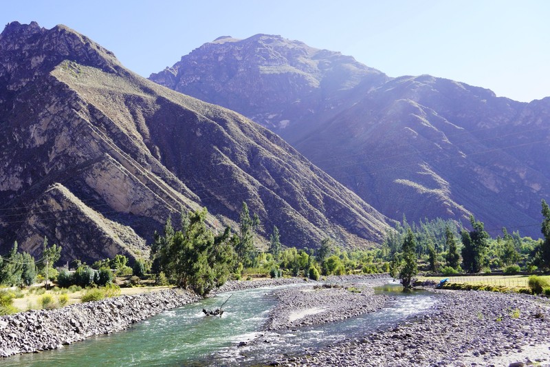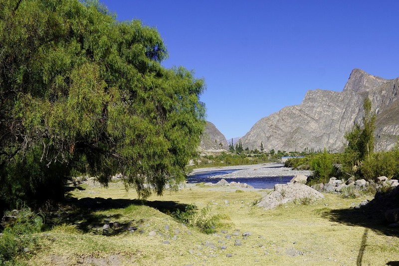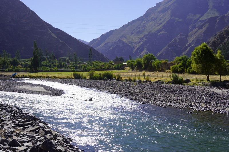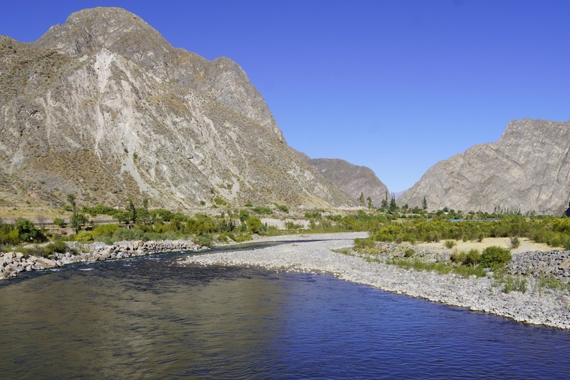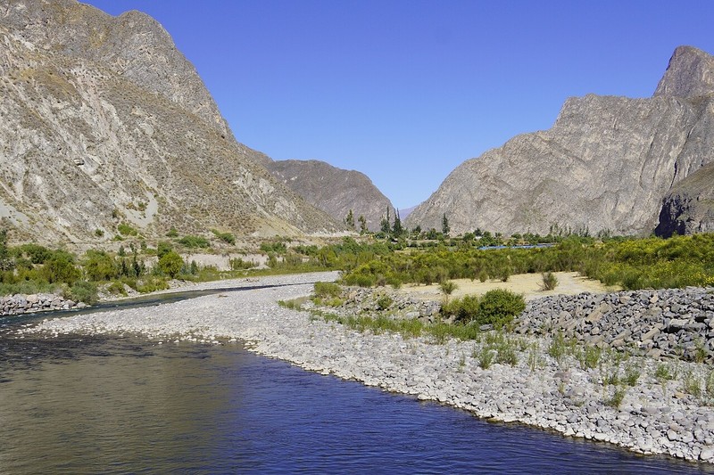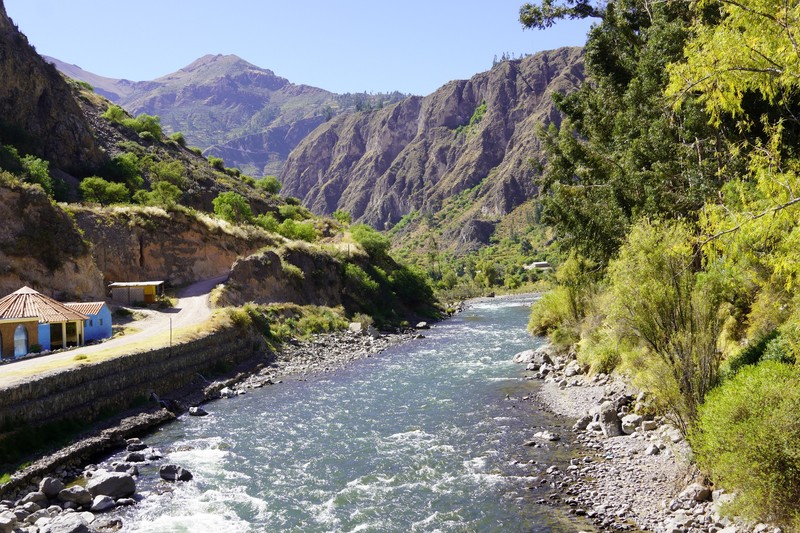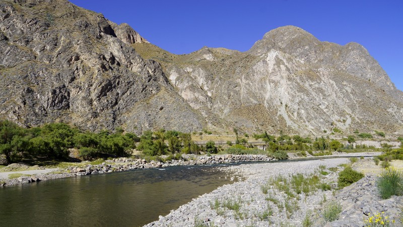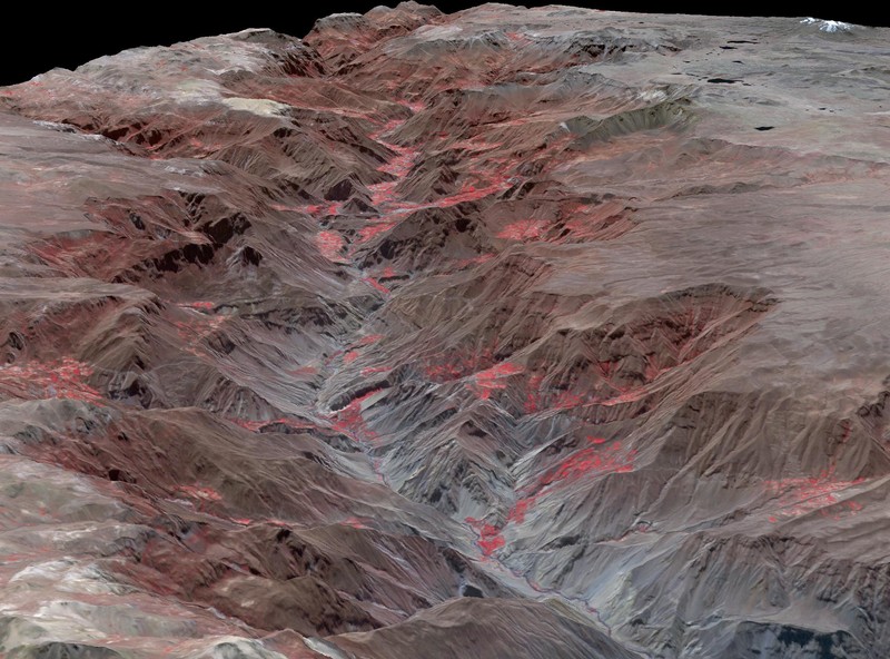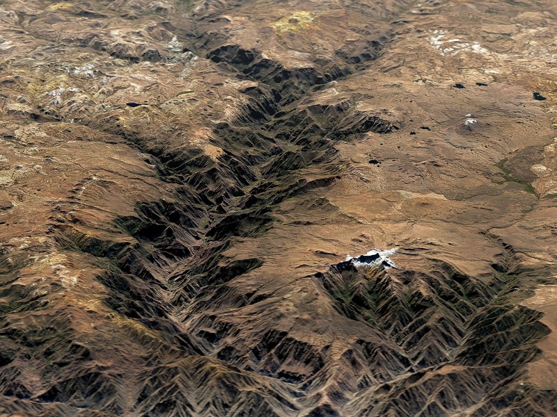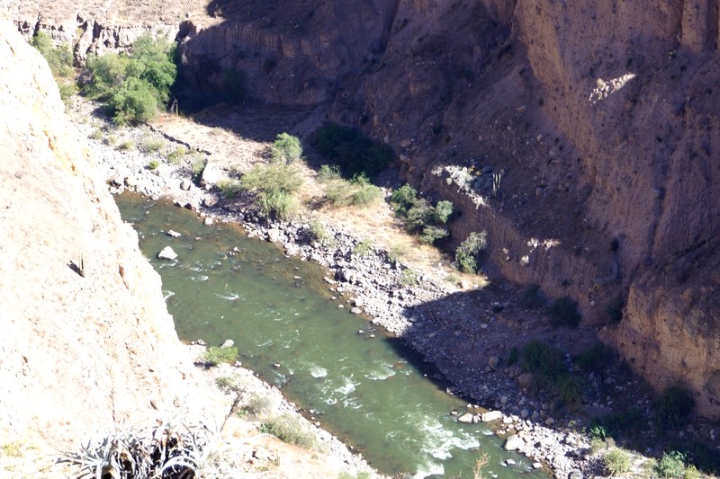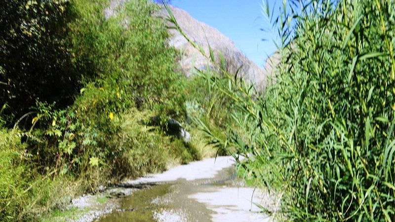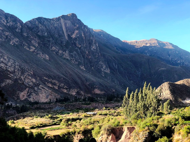

Cotahuasi Canyon is one of the most striking natural destinations in southern Peru, located in the Arequipa region, within La Unión Province. Carved by the Cotahuasi River through the mighty Andes, this deep gorge is known for steep cliffs, mountain peaks, waterfalls, ancient agricultural terraces and remote villages where local traditions remain part of everyday life. The canyon lies within the Cotahuasi Sub-basin Landscape Reserve, a vast protected area established to conserve the region’s distinctive landscapes, biodiversity and cultural heritage.
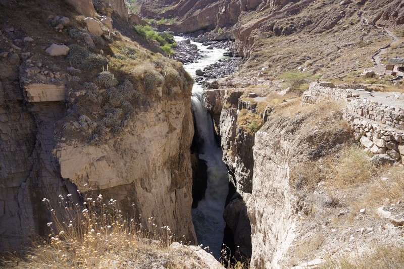
At its most dramatic points, the canyon reaches a depth of approximately 3,500 metres. It is therefore considered one of the deepest canyons in the world. Its scale is especially clear from viewpoints overlooking the river valley, mountain slopes and snow-covered Andean peaks. Cotahuasi appeals to travellers who want to discover a less-visited side of Peru, far from the country’s busiest tourist routes.
Where Cotahuasi Canyon is located
The canyon lies in southern Peru’s Arequipa region, roughly 370–400 kilometres northwest of the city of Arequipa by road. The journey takes a substantial part of the day and depends on road conditions and the type of transport. The principal settlement in the area is the town of Cotahuasi, at about 2,680 metres above sea level. It is a convenient base for exploring the canyon, nearby villages, waterfalls and hot springs.
The Cotahuasi River carved the canyon as it cuts through a mountain plateau and descends toward the lower reaches of the Ocoña River basin. The terrain is remarkably varied, ranging from relatively warm valleys to high plateaus and peaks rising above 6,000 metres. The reserve includes dry slopes, agricultural terraces, high-altitude lakes, unusual rock formations and areas with abundant vegetation.
How the canyon formed
Cotahuasi is the result of geological processes that unfolded over millions of years. The uplift of the Andes, volcanic activity and erosion gradually shaped a high plateau that the Cotahuasi River cut into a deep channel. Water, glaciers and weathering wore away the rock, creating steep walls and a complex network of ravines. Today, the canyon’s exposed slopes reveal traces of this long history and illustrate the immense forces that shaped the southern Andes.
Tourism descriptions often give the canyon’s depth as around 3,500 metres, although precise figures vary depending on the points used for measurement. It is therefore most accurate to describe Cotahuasi as one of the world’s deepest canyons rather than relying on a single record figure.
Sipia Waterfall
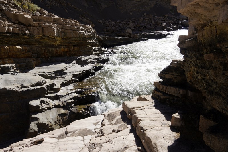
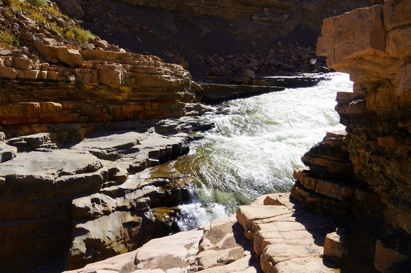
One of the canyon’s main attractions is Sipia Waterfall, formed by the Cotahuasi River. The water plunges about 150 metres, crashing against rocks in a narrow gorge. On sunny days, fine spray can create colourful rainbows, making the waterfall particularly photogenic. As the trail approaches Sipia, it follows the river while the surrounding slopes become increasingly steep.
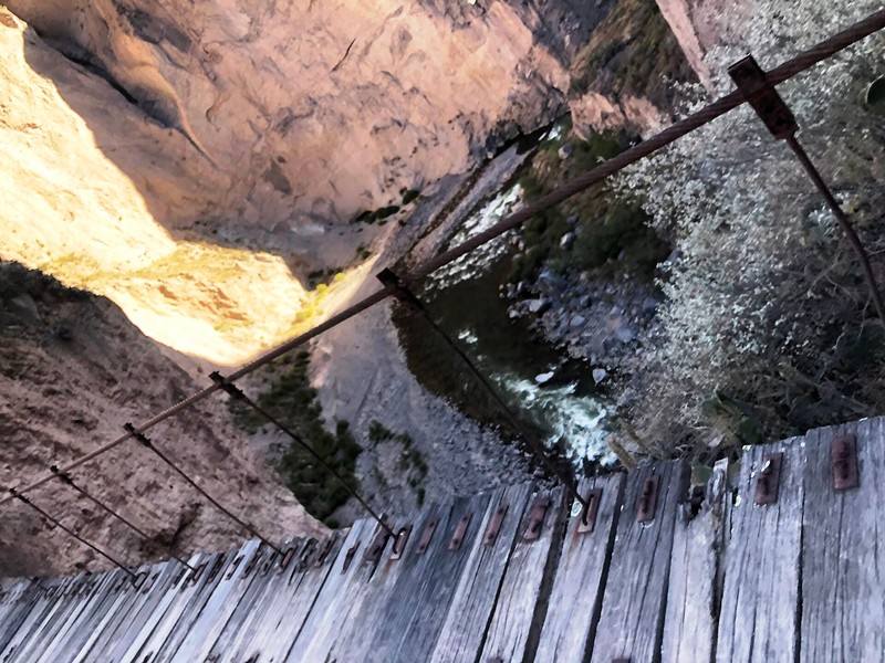
The waterfall is near the district of Toro. Visitors usually travel from Cotahuasi by road to Sipia Bridge and then continue on foot along a developed section of trail. Travel time depends on road conditions and the starting point of the walk. Care is essential at viewpoints: surfaces may be wet, and the cliffs and strong current make risky approaches to the water dangerous.
Mountains, plateaus and natural scenery
The scenery changes as visitors travel along the valley. The Solimana and Coropuna massifs rise in the distance, while the highlands contain cold plateaus and small lakes. One of the area’s great advantages is the opportunity to see several natural environments in a single trip: dry mountain slopes, fertile river valleys, high-altitude pastures and rugged rocky terrain.
The Santo Santo Stone Forest is particularly interesting, with unusual rock formations shaped by long periods of weathering and erosion. The stones create strange silhouettes resembling towers, walls and figures. Depending on the light and viewing angle, the landscape can seem almost otherworldly. The area is attractive to hikers, geology enthusiasts and landscape photographers.
The region is also home to Puya raimondii, an unusual bromeliad characteristic of the high Andes. Large columnar cacti grow in some valleys, while native mountain vegetation survives in cooler areas. The wide range of elevations and climates supports a variety of plant and animal species.
Luicho hot springs
After walking the mountain trails, travellers can visit the Luicho hot springs near Cotahuasi. Water from natural springs feeds developed pools. Tourism descriptions generally report water temperatures of around 33–38°C, although conditions can vary. Bathing in the pools offers a chance to rest after the journey and hikes while enjoying the surrounding mountain scenery.
Other springs associated with the region’s geological activity can be found within the reserve. Some are in remote locations, so visitors should check route access and available facilities with local residents or tourism services before setting out. Avoid entering undeveloped hot springs without assessing the water temperature and the safety of the banks.
Ancient terraces and cultural heritage
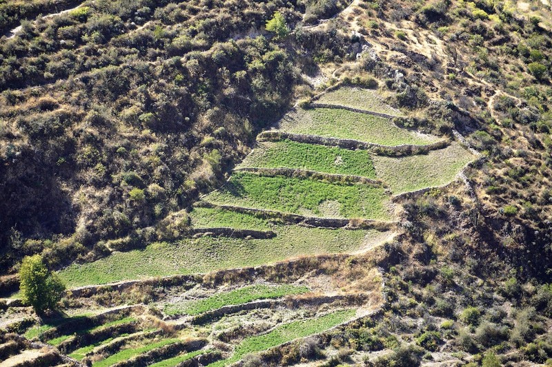
Cotahuasi is important not only for its scenery but also for the history of human settlement in the Andes. Ancient agricultural terraces remain on the valley slopes, allowing communities to cultivate crops on steep mountain land. The terraces and irrigation channels demonstrate how local peoples adapted farming to the terrain, water resources and climate.
Archaeological sites, ancient settlements and rock art have been identified around the canyon. Some remains are associated with pre-Inca cultures and the Inca civilisation. They show that this challenging mountain region was not an isolated wilderness but a place where farming, trade and cultural connections between communities developed over many centuries.
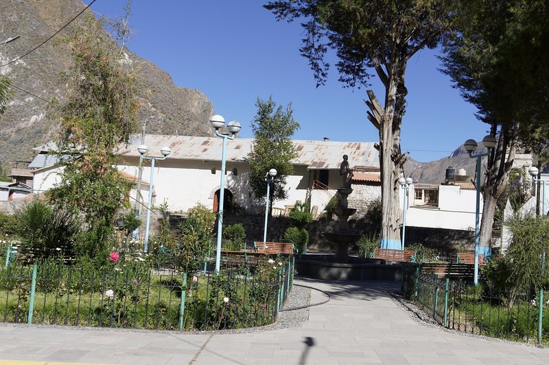
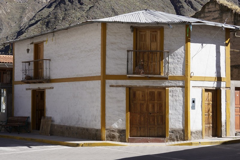
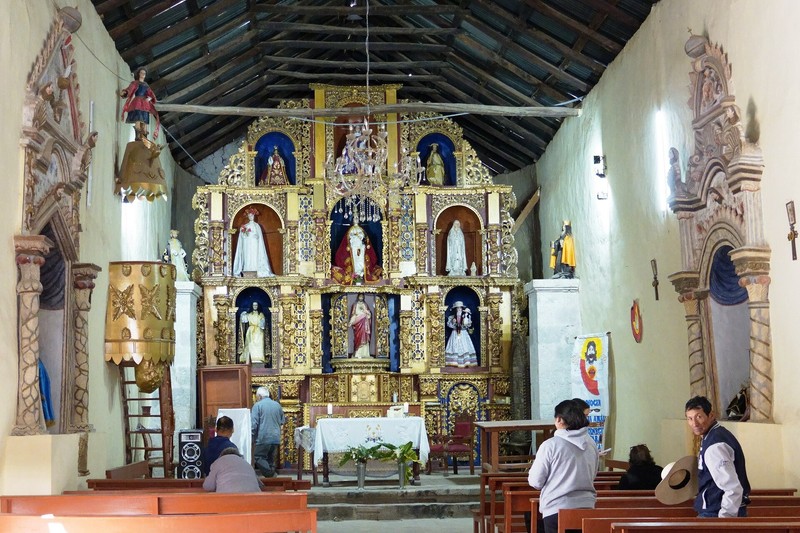
Modern settlements, including Cotahuasi, Alca, Pampamarca, Toro and other valley villages, preserve local traditions, architectural features and crafts. Visitors may find woollen goods, traditional dishes and regional agricultural products. Respecting local customs and asking permission before entering private land helps support responsible tourism.
Wildlife and vegetation in the reserve
The Cotahuasi Sub-basin Landscape Reserve covers about 490,550 hectares and includes an exceptionally broad range of elevations. As a result, it contains several ecosystems, from relatively warm valleys to high mountain environments. Cacti, shrubs adapted to dry slopes, high-altitude grasses and other plants have evolved to withstand limited moisture, strong sunlight and changing temperatures.
The reserve supports a variety of birds and mammals, while mountain lakes and wetlands provide resting places for some migratory birds. Wildlife observation is particularly rewarding around sunrise and in the morning, when the light is soft and trails are quieter. Animals should be observed from a distance, never fed, and left undisturbed in their natural habitat.
Things to do in Cotahuasi Canyon
Walking to viewpoints, following rural roads and exploring mountain trails are among the most common ways to experience the region. Longer routes lead down into the valley, past ancient terraces and toward remote villages. For hikes involving major changes in elevation, assess your fitness, trail conditions and the time required to return before setting out.
Depending on local conditions, adventure travellers may find opportunities for mountain biking, horseback riding, rock climbing and other activities offered by local operators. Rafting on the Cotahuasi River requires particular caution: currents and rapids can be extremely dangerous in some places. Such activities should only be undertaken with experienced professionals, suitable equipment and a careful assessment of the risks.
Photographers should allow time to capture Sipia Waterfall, mountain peaks, rock formations and terraced slopes. Morning and evening light emphasises the relief, while clouds can cast dramatic shadows across the canyon walls. Because distances are long and roads winding, avoid trying to visit too many remote attractions in a single day.
When to visit
The dry season, roughly from May to November, is often recommended for visiting the canyon. Rainfall is usually lower during this period, and road travel and hiking are generally more convenient. Open slopes can be sunny and warm during the day, but mornings and evenings can be much colder, especially at higher elevations. Seasonal conditions vary, so check the forecast and route conditions before travelling.
The rainy season can bring heavy precipitation, landslides and deteriorating unpaved roads. This is particularly important for visitors planning to explore remote parts of the reserve. Even during the dry months, Andean weather can change quickly, so bring warm clothing, sun protection and enough drinking water.
How to get to Cotahuasi
The city of Arequipa is the main starting point. From there, travellers can reach Cotahuasi by intercity bus, tourist transport or car. The journey takes many hours, depending on the route, road conditions and transport. Some roads cross mountainous terrain and are winding, so allow plenty of time and avoid expecting quick transfers between distant attractions.
Within the Cotahuasi area, getting between villages, waterfalls and viewpoints may require local transport or a vehicle with suitable ground clearance. Before visiting a particular attraction, check whether the access road is open and what condition the trail is in. For remote routes, hiring a local guide is sensible because they know the area and can help assess weather and road risks.
Travel tips
Cotahuasi is in a remote region, so it is best to plan a visit lasting several days. Check transport schedules, accommodation, food options and payment methods in advance. Services may be limited in smaller settlements, and mobile coverage is not available everywhere. Carry cash, identification, necessary medication and an offline navigation option.
Because of the large changes in elevation, do not begin a strenuous hike immediately after arrival. Give your body time to adjust, drink enough water and choose routes according to how you feel. Comfortable shoes with good grip, a hat, sunscreen and warm layers are essential. Keep away from unfenced cliffs, avoid dangerous sections of the river and do not attempt difficult trails without proper preparation.
While visiting the reserve, do not leave rubbish, damage plants or archaeological remains, or disregard private property and local customs. Buying goods and services from residents helps support small communities and contributes to preserving their cultural heritage.
Why visit Cotahuasi Canyon
Cotahuasi Canyon brings together dramatic mountain scenery, a deep river gorge, waterfalls, hot springs, ancient terraces and the living traditions of Andean communities. Its remoteness makes the trip more demanding to plan, but it also allows visitors to discover Peru beyond the familiar tourist routes. It is especially suitable for people who enjoy nature, hiking, geology and a quieter introduction to mountain culture. Cotahuasi is more than a viewpoint: it is a world of highland landscapes where natural history and human life remain closely connected.
Gallery