
Tierra del Fuego National Park lies in the southwest of Argentina’s Tierra del Fuego archipelago, near the city of Ushuaia and the Beagle Channel. It is one of the country’s southernmost national parks, where the Andes meet the sea, forest covers mountain slopes, and valleys contain lakes and peatlands. The park protects distinctive subantarctic landscapes and natural communities of Patagonia.
Nature at the End of the World
Established in 1960, the park covers approximately 68,900 hectares. Its landscapes include mountains, river valleys, glacial lakes, peat bogs and stretches of marine coastline. It is the only place in Argentina where Patagonian forests reach the sea. The combination of peaks, waterways and dense vegetation creates a distinctive landscape at the southern end of South America.
The climate is cool and humid. Conditions can change several times in a day, with sunshine giving way to wind, mist or rain. Snow falls in the mountains and inland valleys during winter, while forests and coastal areas retain the rugged atmosphere of the far south. The park’s scenery is remarkable for its contrasts and sense of wilderness.
Lapataia Bay
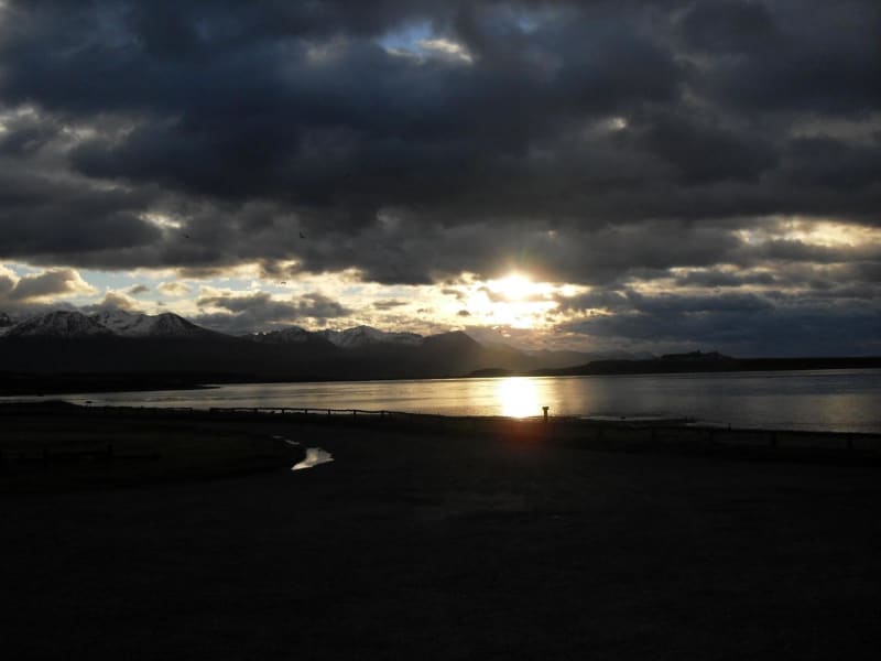
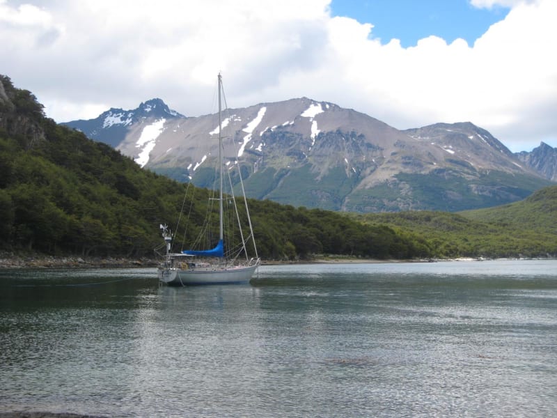
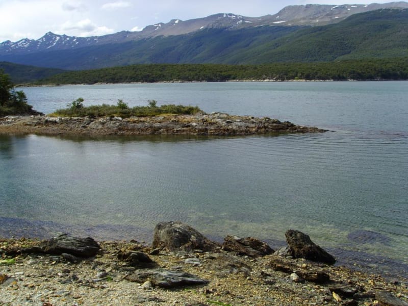
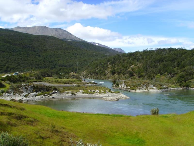
Lapataia Bay is one of the park’s best-known attractions. It lies on the Beagle Channel and is surrounded by wooded hills, small islands and cold waters. Argentina’s National Route 3 ends here. The road crosses a large part of the country and connects Tierra del Fuego with mainland Argentina.
Viewing platforms and short walking trails are available around the bay. They offer views of the coastline, forests and mountain slopes. The area is popular for photography and birdwatching. The name Lapataia is associated with the language of the Indigenous Yaghan people, who lived along these shores long before European explorers arrived.
Acigami Lake and Mountain Valleys
Acigami Lake, known as Lake Roca on the Chilean side, lies among forested mountains and is an important feature of the park’s landscape. Its shores are suitable for peaceful walks and for watching mountain reflections on the water. The lake’s colour changes with the weather and light, while the surrounding forest takes on red and golden tones in autumn.
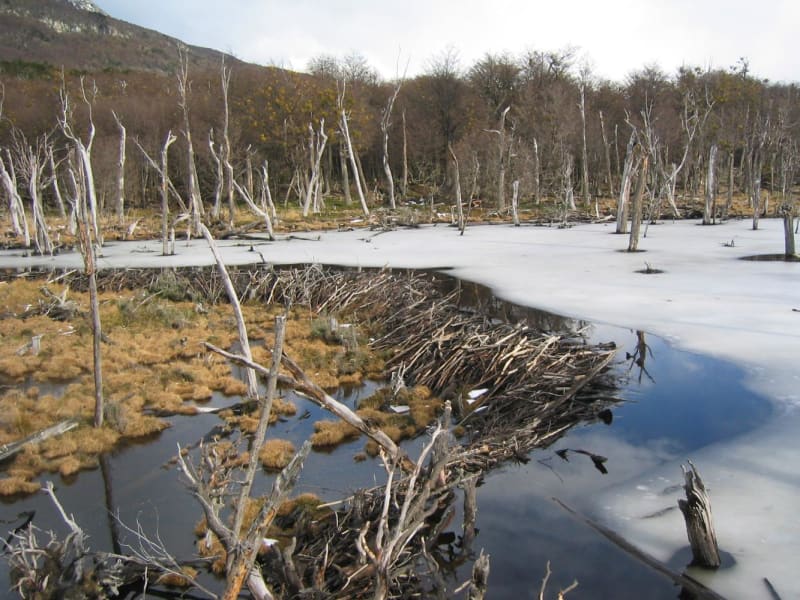
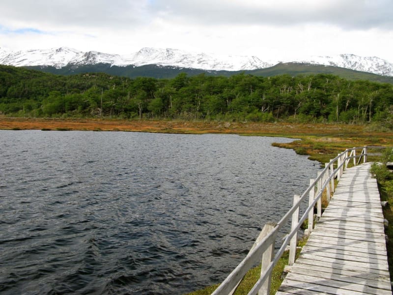
The park also contains other lakes, rivers, small waterfalls and broad peat-filled valleys. Peatlands developed over long periods in the cool, humid climate. They retain moisture, provide habitat for specialised plants and play an important role in the local ecosystem.
Forests and Plant Life
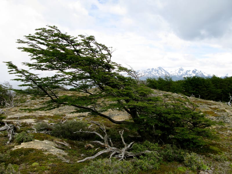
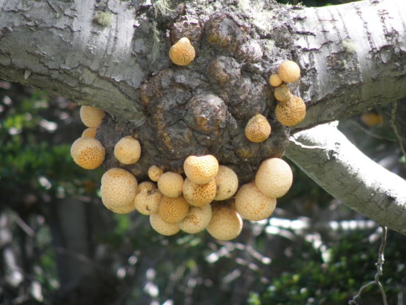
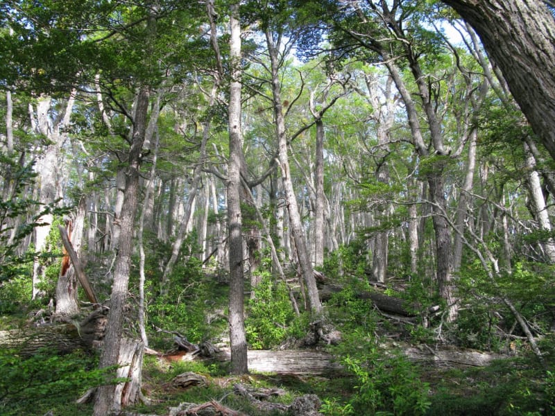
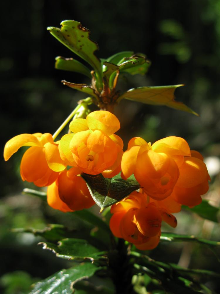
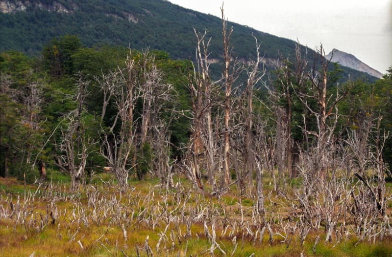
The park’s forests are dominated by southern beeches, including lenga and ñire, alongside evergreen trees such as canelo and guindo. Mosses, ferns and other plants adapted to cool conditions grow in wetter areas. Tree branches are often covered with lichens, and the forest floor retains moisture even during relatively dry periods.
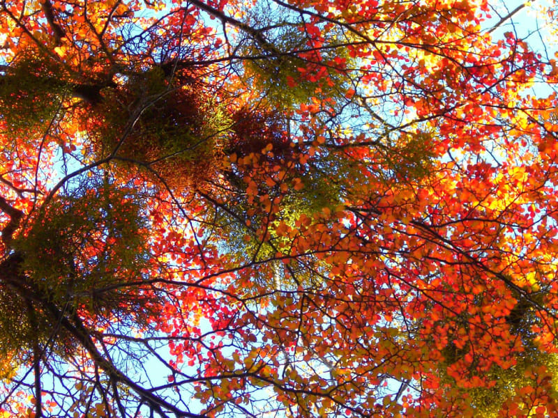
In autumn, the forest turns shades of deep red, orange and gold. Combined with dark mountain slopes and blue water, these colours create especially striking scenery. The vegetation helps preserve the landscape, protect soils, regulate water and provide habitat for native wildlife.
Wildlife and Birds
Guanacos, South American grey foxes and the southern river otter known as the huillín inhabit the park’s forests and valleys. These animals are adapted to the cool climate and varied habitats. Some species are elusive, so visitors may be more likely to notice tracks or other signs than to see the animals themselves.
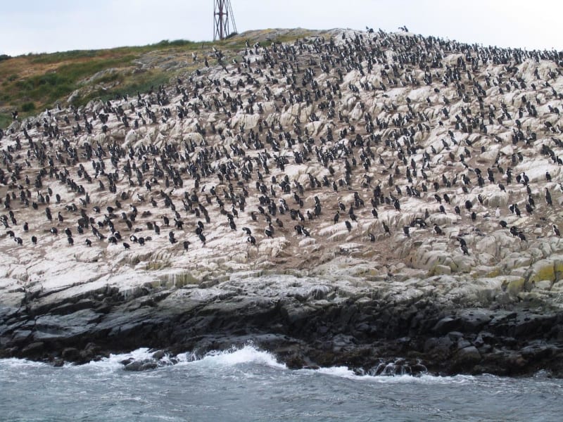
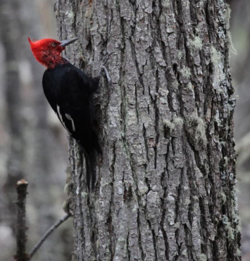
Birdlife is particularly diverse. The coast attracts kelp geese, black-browed albatrosses, steamer ducks, gulls and oystercatchers. Forests are home to austral parakeets, Magellanic woodpeckers and small woodland birds. Birdwatching is best done quietly, without approaching nests or disturbing natural behaviour.
Walking Trails and Excursions
The park has trails of different lengths and difficulty levels. The Coastal Path connects Ensenada Zaratiegui Bay with the Lapataia area, following the shore through forests and small coves. Shorter paths lead to viewpoints, lakes and places overlooking valleys and mountains. Before setting out, visitors should choose a route suited to their fitness and check trail conditions.
The End of the World Train offers another way to explore the area. It travels along the Pipo River and through forested landscapes near Ushuaia. Organised canoe excursions are also available on Acigami Lake and certain rivers. Some activities and routes may require advance arrangements or permission.
History and Conservation
The name Tierra del Fuego, meaning Land of Fire, is linked to the fires European sailors saw along the island’s shores. Indigenous peoples of the region, including the Yaghan, lit these fires and developed a way of life closely connected with the sea and coastal resources. Their history highlights the cultural importance of the park as well as its natural value.
Establishing the national park helped protect forests, peatlands, waterways and wildlife habitats. Today, conservation depends in part on responsible visitor behaviour: littering, disturbing wildlife and leaving designated routes in sensitive areas should be avoided. These practices help preserve Tierra del Fuego’s landscapes for future generations.
How to Reach the National Park
The nearest city is Ushuaia, approximately 10–12 kilometres from the park entrance. Flights connect Ushuaia with other major Argentine cities. From town, visitors can continue by car, taxi, tour bus or organised transfer. National Route 3 leads from Ushuaia into the park.
The park can be visited throughout the year, although conditions vary by season. The most convenient period for hiking is generally from late spring through summer and early autumn in the Southern Hemisphere, roughly late October to April. Warm layers, a windproof jacket and rain protection are useful even in summer. Allow a full day to explore the main viewpoints and trails.
Gallery