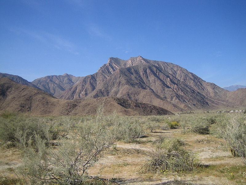

Anza-Borrego Desert is one of the most distinctive natural regions of Southern California, where dry valleys meet rugged canyons, rocky mountains, palm oases and ancient geological formations. Much of this landscape lies within Anza-Borrego Desert State Park, the largest state park in California, covering more than 600,000 acres. It attracts hikers, photographers, wildlife watchers and visitors interested in geology and desert ecology.
Desert landscapes and geology
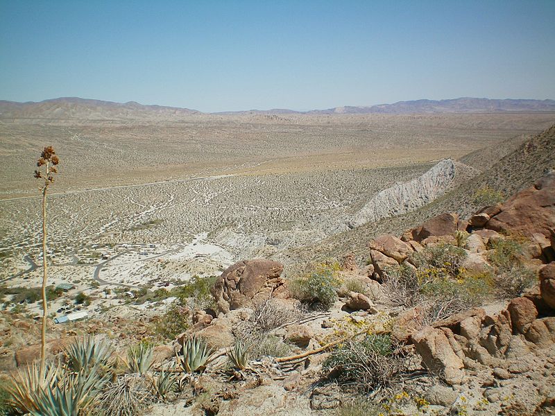
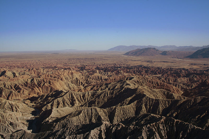
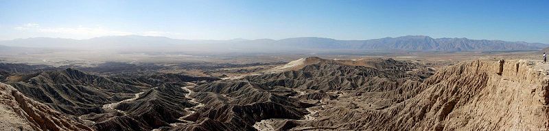
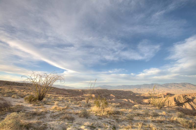
The park contains broad dry valleys, seasonal washes, rocky slopes and badlands–eroded terrain cut by gullies and narrow ridges. These landscapes formed through sediment deposition, tectonic movement and erosion. Over millions of years, sand, silt and gravel accumulated in ancient basins. Later, water carved winding channels and canyons through the exposed deposits. Although rainfall is limited, occasional intense storms can reshape the land quickly through flash floods.
Borrego Badlands, Carrizo Badlands and the formations around Fish Creek are among the most striking areas. Their clay hills and narrow ravines create maze-like patterns that are especially dramatic in low-angle sunlight. Visitors should check road conditions before exploring remote areas and avoid entering unfamiliar canyons without preparation.
Fossils and ancient life
The sedimentary rocks of Anza-Borrego preserve evidence of ecosystems that existed millions of years ago. Fossils help scientists study past climates, vegetation and animal communities before and during the Ice Ages. The region is associated with remains of extinct large mammals, including mammoths and giant ground sloths. Fossils and other natural features are protected and should never be collected or disturbed.
Spring wildflowers
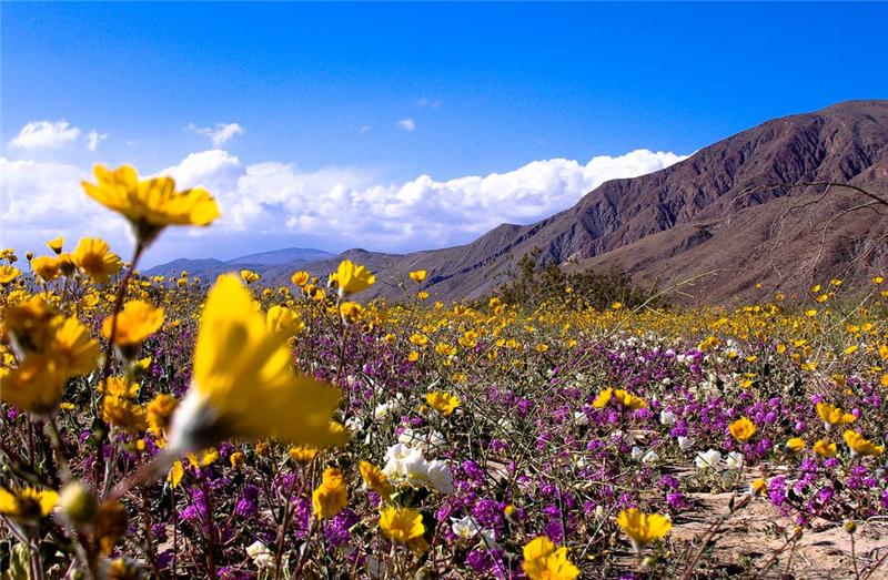
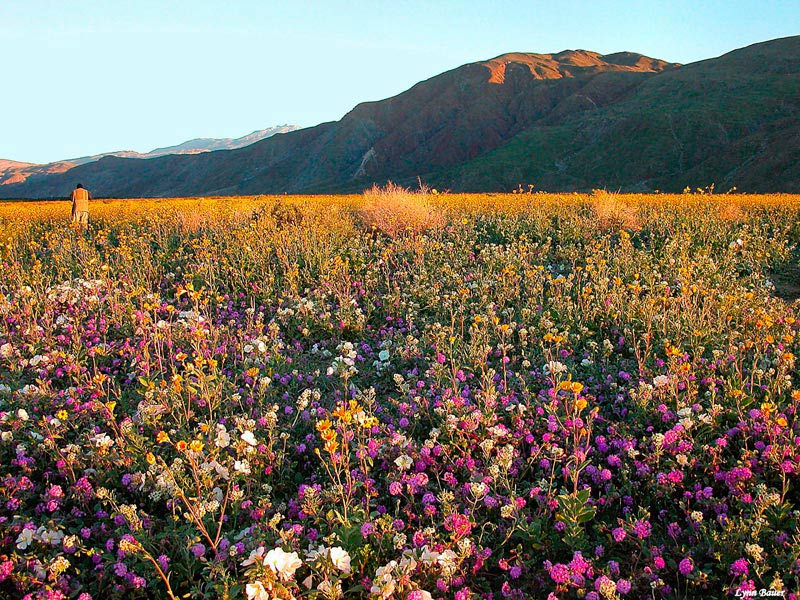
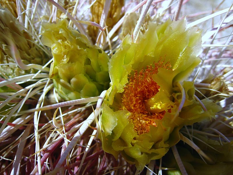
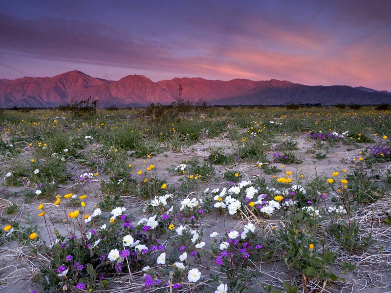
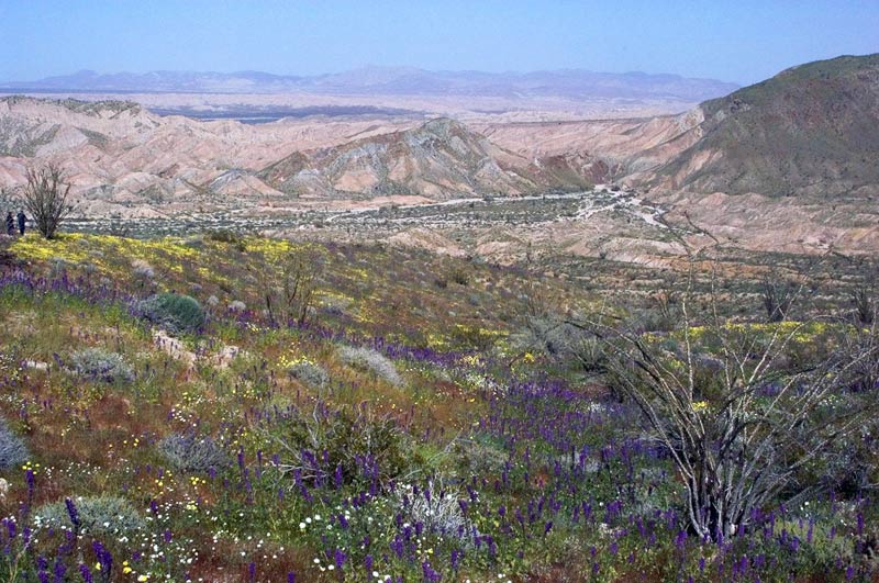
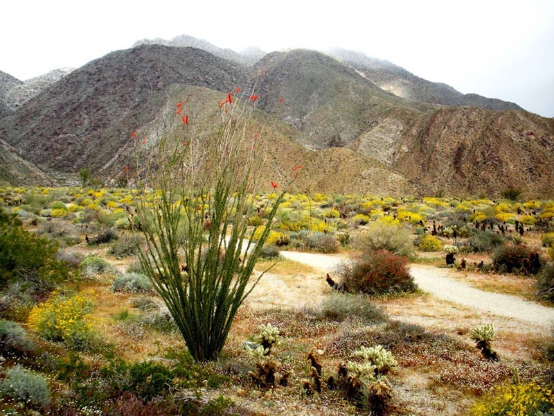
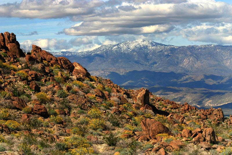
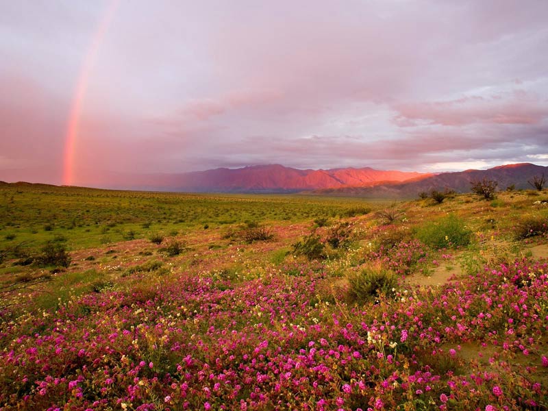
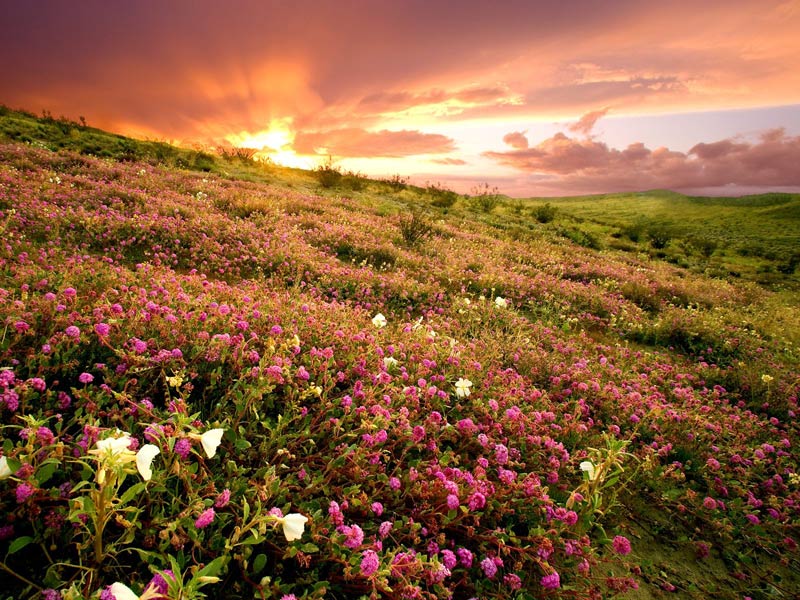
Despite its dry climate, the desert supports cacti, yuccas, shrubs and many plants adapted to limited water. After favorable winter rains, parts of the landscape can burst into yellow, pink, purple and white flowers. Blooming often attracts visitors in late winter and spring, sometimes beginning in late February or early March. The display depends on rainfall and temperature, so conditions vary considerably from year to year. Check current wildflower reports before planning a trip.
Palm oases and canyons
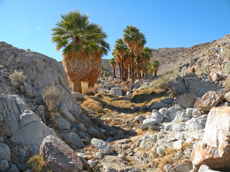
In a few canyons, groundwater supports small groves of California fan palms. Borrego Palm Canyon is one of the best-known hiking destinations. Its rocky trail offers views of desert vegetation and surrounding mountains. Access to particular sections may change after fires, floods or restoration work, so check official park notices.
The park also contains narrow passages between sedimentary walls, including The Slot. These canyons should not be entered during rain or when storms threaten, because flash floods can develop quickly.
Wildlife
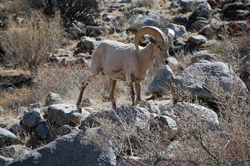
Anza-Borrego supports desert bighorn sheep, coyotes, foxes, mule deer, hares, lizards and several snake species. Birds include roadrunners and birds of prey. Many animals are most active at dawn, dusk or night. Observe wildlife from a distance, never feed it and do not approach animals for photographs.
History and cultural heritage
The region has a long history of Indigenous presence, including communities associated with the Kumeyaay, Cahuilla and Cocopah peoples. In December 1775, the Spanish expedition led by Juan Bautista de Anza traveled through this area. Historic campsite locations along Coyote Creek are marked within the park. The visitor center in Borrego Springs introduces guests to desert ecosystems and regional history.
Places to see
Borrego Badlands. Eroded hills and gullies with clearly visible sediment layers, particularly striking in low sunlight.
Font's Point. A panoramic viewpoint overlooking the desert badlands. The access road can be sandy, so check conditions before driving.
Borrego Palm Canyon. A popular hiking route through a desert canyon with native vegetation and mountain views.
The Slot. A narrow, winding passage carved into sedimentary rock by erosion.
Visitor Center. Located in Borrego Springs, it offers maps and information about trails, roads and natural features.
Best time to visit
Autumn, winter and spring are generally the most comfortable seasons for hiking. Spring may bring wildflowers, although the display depends on rainfall. Summer temperatures can exceed 40°C (104°F), making long midday hikes dangerous. Plan outdoor activity for early morning during hot weather.
Getting there and staying safe
Borrego Springs is the main starting point for many visits. Driving from San Diego, Riverside or Palm Springs usually takes about two hours, depending on route and conditions. Routes into the park include S-22 and Highway 78; the southern approach connects from Interstate 8 via S-2. Many dirt roads require four-wheel drive, and some need high ground clearance.
Carry plenty of water, food, a first-aid kit, a hat, sun protection and closed-toe shoes. Mobile coverage may be unavailable in remote areas. Check weather forecasts, road conditions and closures, never enter canyons during storms, and tell someone your itinerary. Stay on permitted roads and leave plants, wildlife, fossils and cultural objects undisturbed.
Dark skies
Far from major urban lights, Anza-Borrego is also known for its dark night skies. On clear nights, visitors can see countless stars and, under suitable conditions, the Milky Way. The desert combines striking geology, seasonal flowers and diverse wildlife, but a safe visit requires thoughtful planning and respect for this fragile environment.
Gallery