Nizhnyaya Kama National Park
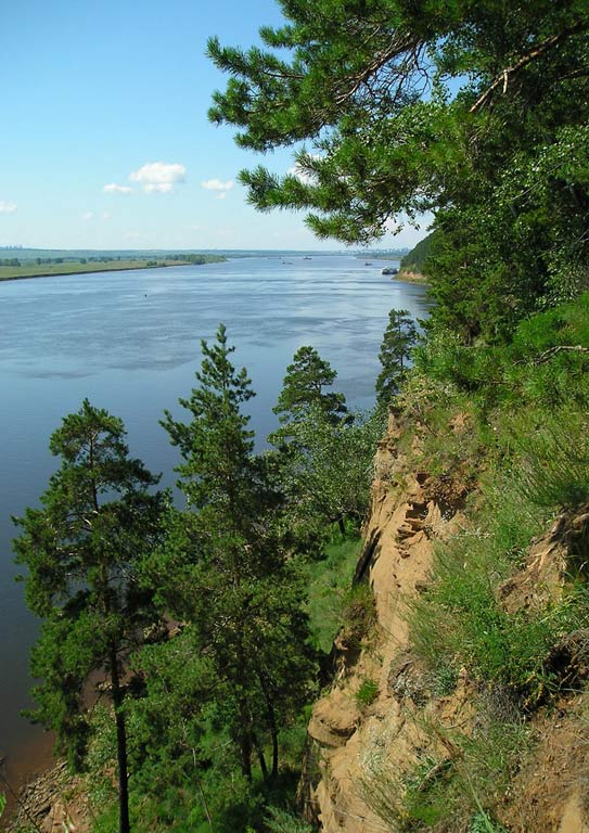
Nizhny Kama is a national park of Russia located in the Republic of Tatarstan. The park was founded in 1991 on a territory of 265 km2. The park's border runs next to Yelabuga and Naberezhnye Chelny and Nizhnekamsk. The landscape of the area is undulating, divided by rivers and streams, as well as divided into two by the Kama River, on which the hydroelectric dam stands, forming the great Nizhnekamsk reservoir. Beyond the dam, rare bay communities have been preserved, where there are many ancient lakes, reaching a length of 1,500 meters.

The park is located at the junction of a broad-leaved spruce forest zone and meadow steppes. This location has provided a rich relief and biological abundance. For example, in the Kzyl-Tau tract, located in the Belousky forest, there is the southernmost habitat of the Siberian fir.
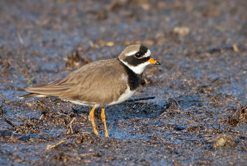
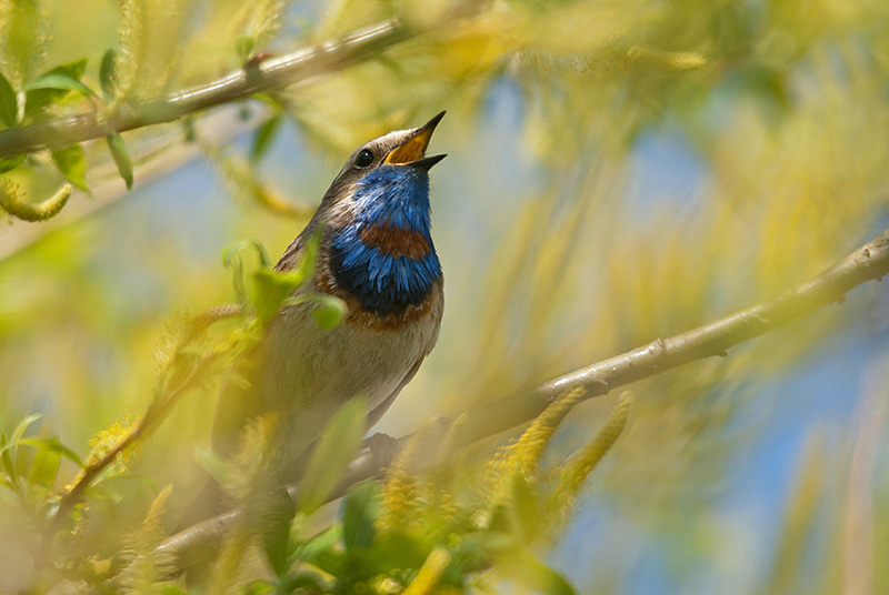
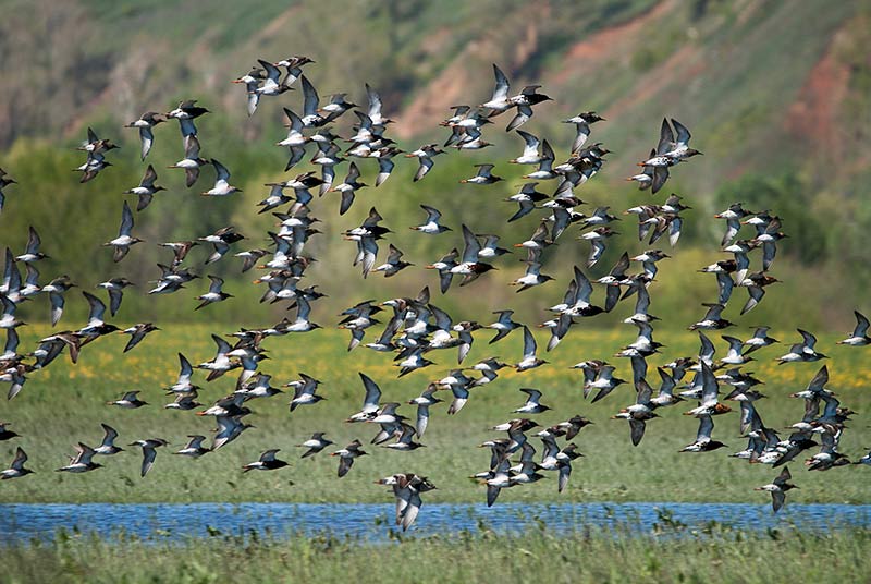
Rare plants grow in the park, such as pure white water lilies, yellow caps, and spot salt shaker. Some of them, like large-flowered shoes and pollen-pickers, are listed in the Red Book. Typical inhabitants of the forest part of the park are: moose, lynx, badgers, squirrels, martens; in the rivers and lakes you can also meet beavers, muskrats, otters. Of the rare animals in the park, you can find a vole, a chipmunk, a cedar wood, a hoopoe, a blue lark. You can also see: storks, ospreys, snake eaters, saker cranes, hissing swans, owl owls, crakes, harriers, which are listed in the Red Book.

The Nizhny Kama National Park is closely connected with the great painter Ivan Shishkin, a native of Yelabuga. Here he painted paintings: "Holy Spring near Yelabuga", "Landscape with a pine tree", "Ship grove". A trip to Yelabuga will be no less entertaining, since the city is a museum-reserve of architecture and culture.
Nizhny Kama National Park has many sightseeing and hiking trails.
- "Krasnaya Gorka near Yelabuga" - Since ancient times, the townspeople walked along Krasnaya Gorka, so named for its beauty. They are attracted here by the views of the Kama River, lakes, and city mosques.
- "The Holy Key near Yelabuga" - The tour starts on the road built by order of Catherine II. It passes through a pine forest, peat swamp, lakes, floodplain meadows, introduces travelers to the historical component of the park and its ecosystem.
- Bolshoy Bor - A walk along this route will be interesting for fans of botany, as the trail runs through areas where rare and "red book" plants grow.
- Forest Lakes is a continuation of the Bolshoy Bor tour, which introduces visitors to the geological features, vegetation and animal world, as well as passing by a network of small forest lakes.
- "Antiquities of the Kama Region" - The path runs through the places where archaeologists have discovered the sites of ancient people, burial grounds.
- "Korabelnaya grove" - Mashrut is interesting from the point of view of science and history, since the border of the habitat of Siberian fir passes here. These forests were noticed back in the time of Peter the Great, making them the Ship Grove of the Kazan Admiralty.
- "Shishkinsky Krai" - The March route passes through the places that inspired the landscape painter to paint paintings, and also introduces lakes, springs, and antiquities of archeology. The path length is approximately 65 km.
- The water route is a kayaking route along the Toima, Kama and Kriusha rivers.


