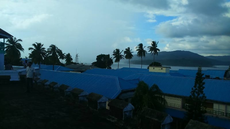
Andaman and Nicobar Islands
The Andaman and Nicobar Islands are located in the east of mainland India closer to Southeast Asia on the border of the Andaman Sea and the Bay of Bengal. There are about 600 islands in total, of which only 38 are inhabited. The total area of the islands is just over 8 thousand kilometers.
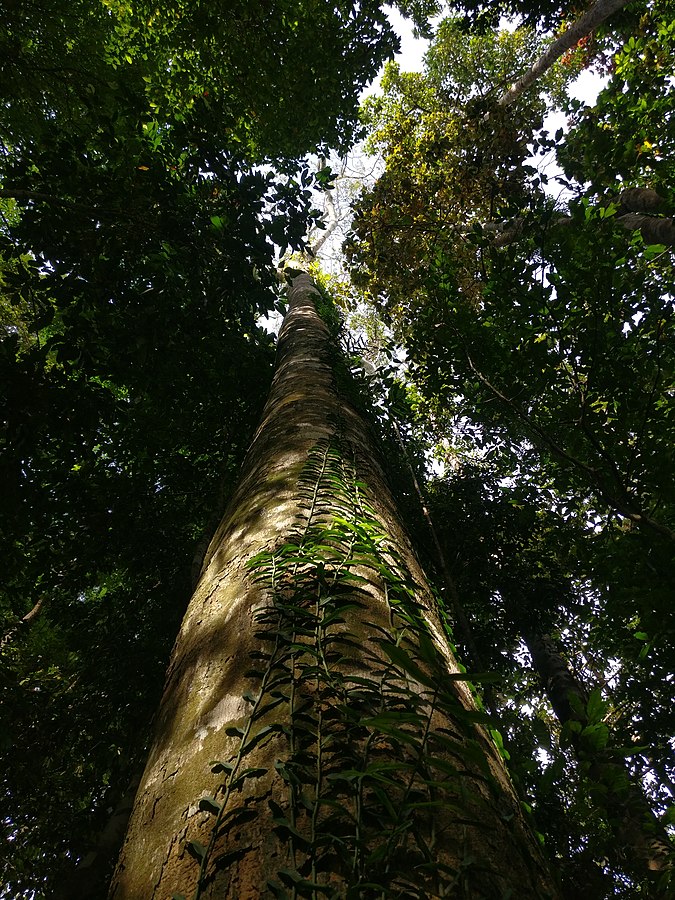
Pristine nature
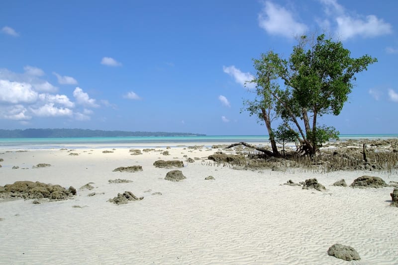
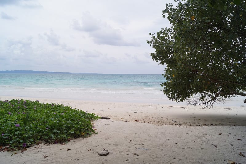
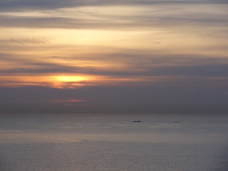
Tourists are attracted here by the virgin jungle, mango forest, and unforgettable crimson sunsets. Snow-white beaches are washed by the purest emerald waters of warm seas. The underwater beauty and transparent waves of numerous divers are especially attractive.
The primitive tribe
Some of the Adamanian Islands are home to the Sentinel people, whose tools, according to some evidence, remain at the Paleolithic level. And although this statement is disputed by some anthropologists, naive and friendly people always arouse great interest and attract the attention of tourists.
It is not known for certain when the first people appeared on the Adamanian and Nicobar Islands. But scientists claim that the tools found here could have been made about 2,000 years ago. In their opinion, people came here from Southeast Asia, they are the closest relatives of the ethnic groups of Negrito and Malai. There were incredible legends about the local aborigines. For example, the Italian merchant Marco Polo claimed that the islands were inhabited by cruel savages with dog heads.
Interestingly, the name of the Andaman island group could have come from the monkey god Hanuman, who helped Prince Rama build a bridge between India and Sri Lanka.
Many are surprised by the fact that the Andaman and Nicobar Islands, located almost under the nose of Malaysia or Thailand, belong to distant India. How did it happen?
The beginning of European exploration of the islands is associated with the activities of the Danish East India Company in the second half of the 18th century. Already in 1756, the lands became Danish territory, renamed New Denmark. The Danes have repeatedly abandoned their small colony due to outbreaks of deadly malaria. For some time, the territory passed to the Austrians, who renamed it the Theresa Islands in honor of their Empress. And in 1789, the British looked after it for themselves in order to create a penal colony for criminals from India. For a while, there was a cell prison here, where political prisoners were held in the most brutal conditions. For some time, the Italians claimed the islands, the territory finally became part of British India in 1868, when the Danes sold it to Great Britain.
During the Second World War, the colony was occupied for some time by the Japanese, who turned out to be extremely cruel towards the local population.
After India gained independence in 1947, the Andaman and Nicobar Islands became part of the Indian Union. The population of the small islands has since reached 350,000 people. In 2004, an unprecedented earthquake occurred on the islands, followed by a tsunami. According to some reports, up to 20% of the population died here.

