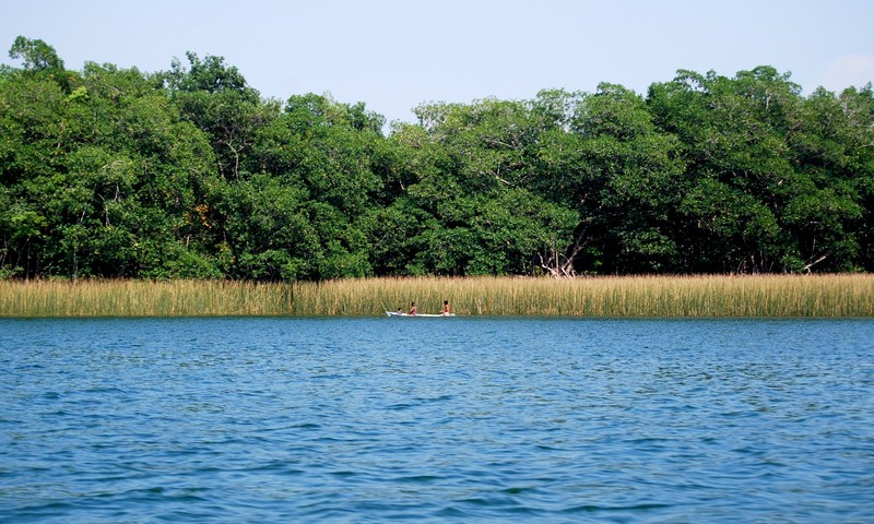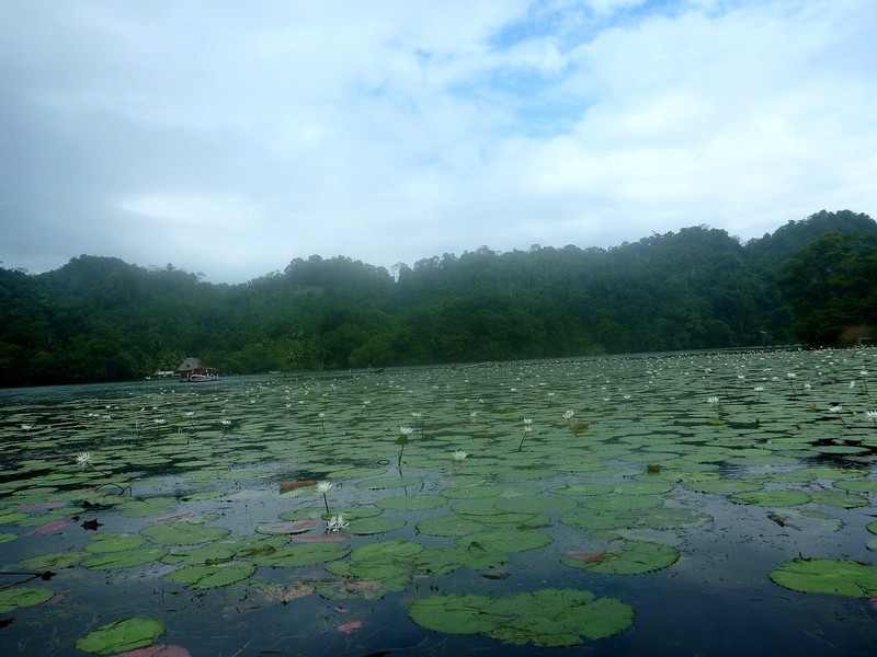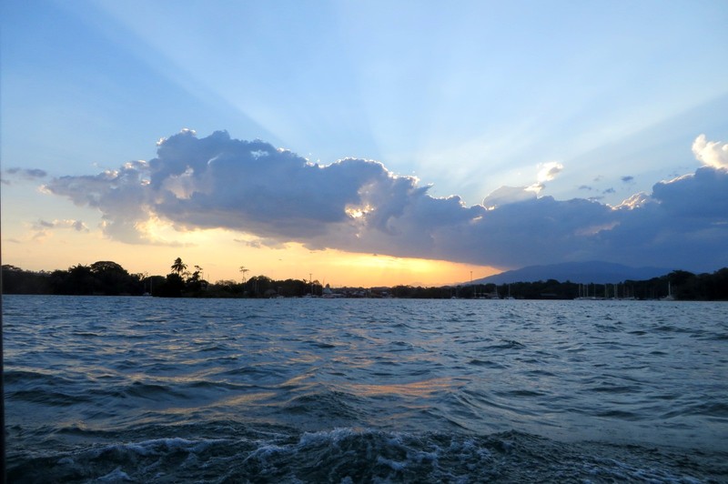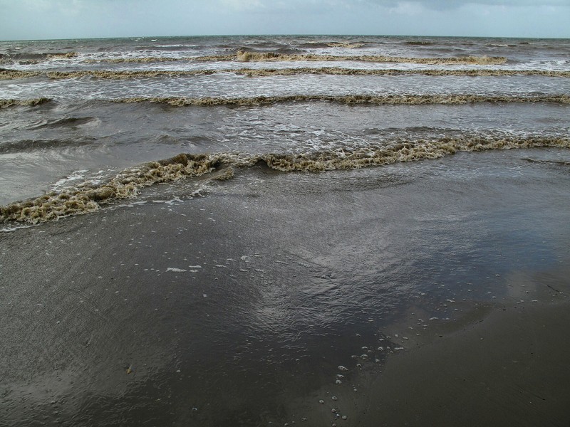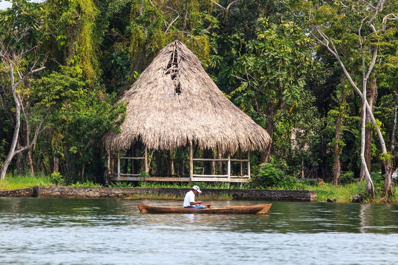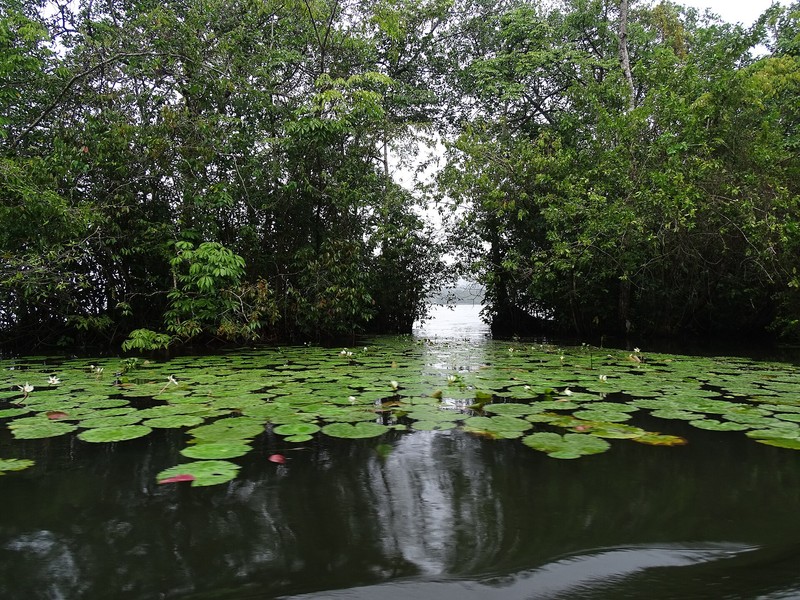

Río Dulce National Park is a protected natural area in eastern Guatemala, in the department of Izabal. It follows the Río Dulce, which connects Lake Izabal with the Caribbean Sea. The park is known for tropical forests, winding waterways, towering cliffs along the river canyon, and abundant wildlife. It is one of the most scenic areas on Guatemala’s Caribbean side, where nature meets historic landmarks and the cultures of local communities.
History and area of the park
Río Dulce National Park was established in 1955 to protect the natural landscapes and ecosystems of the river basin. Its officially listed area is approximately 13,000 hectares. The park lies in the municipality of Livingston, Izabal, and includes sections of the river, riverside forests, and associated natural habitats.
Río Dulce plays an important role in connecting inland aquatic ecosystems with the Caribbean coast. The river forms a natural corridor between Lake Izabal and Amatique Bay, providing routes for aquatic animals and helping plant species spread through the region.
The Río Dulce River and its canyon
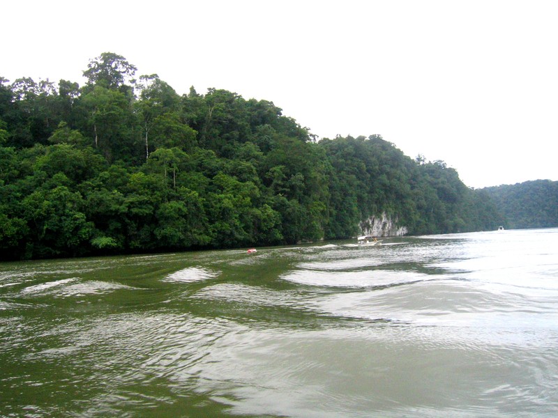
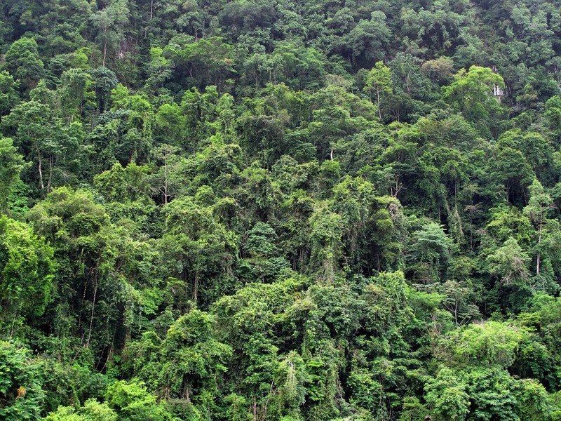
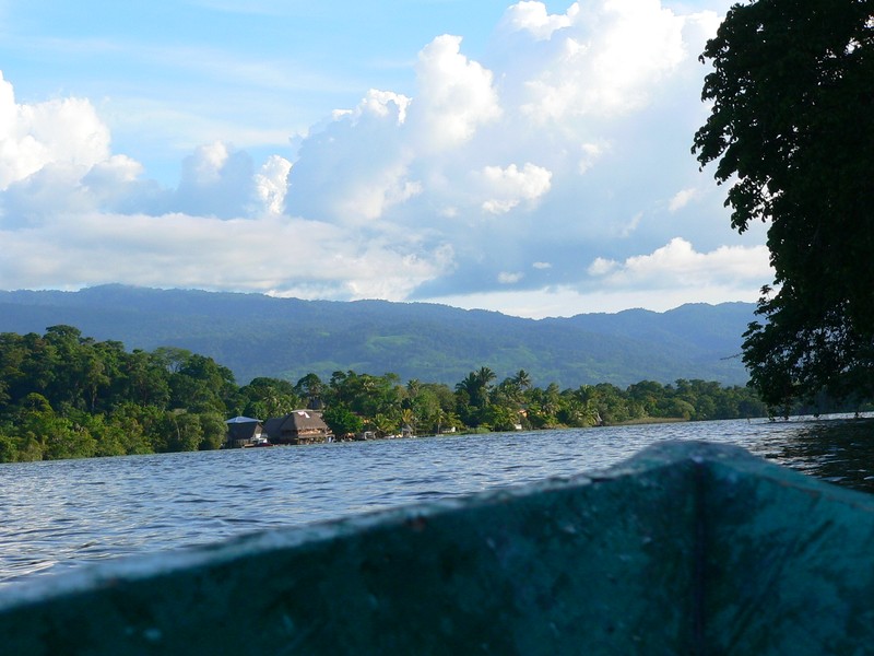
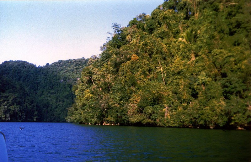
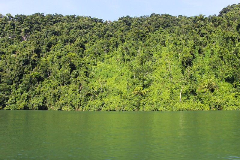
The park’s main natural attraction is the Río Dulce, whose Spanish name means “sweet river.” Boat routes pass through sections of dense tropical forest. The canyon is particularly striking, with steep rocky banks rising above the water and trees and vines covering the slopes in lush greenery.
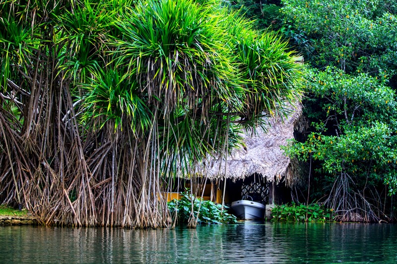
Travelling along the river reveals small coves, wetlands, patches of vegetation, and places where tropical branches extend over the water. The scenery changes continually: open stretches offer broad views across the water, while narrow sections resemble a green corridor between cliffs.
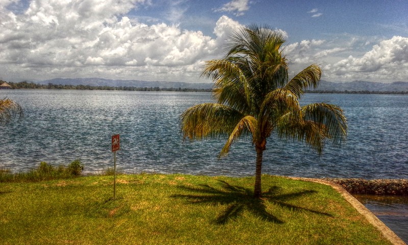
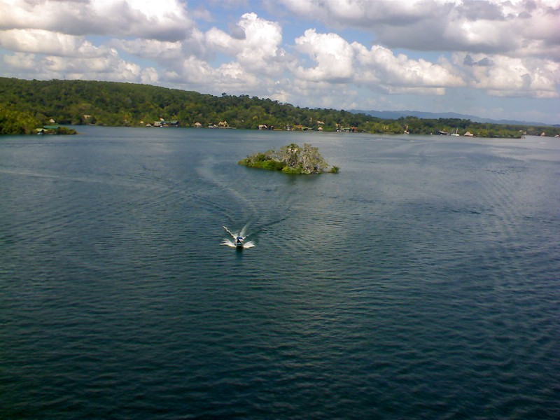
Río Dulce is part of the Lake Izabal and El Golfete water system, where the river widens before reaching the Caribbean Sea. These lakes, channels, and wetlands provide varied habitats for aquatic and terrestrial wildlife.
Flora and wildlife
Humid tropical forests dominate the park, with broad-leaved trees, vines, and dense undergrowth. The vegetation combines species characteristic of the Petén lowlands, the Caribbean coast, and nearby uplands. Valuable tropical trees found in the forests include mahogany, sapodilla, and kapok.
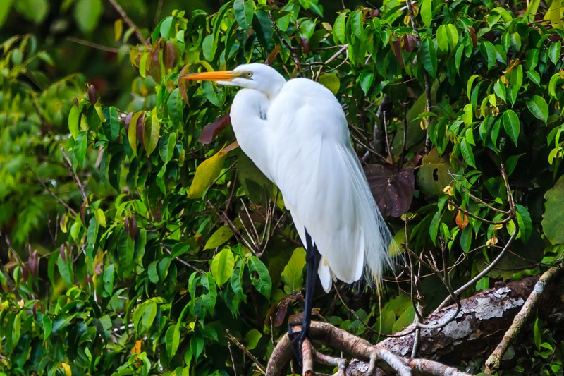
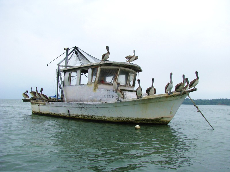
Río Dulce provides habitat for many birds, fish, amphibians, and reptiles. The West Indian manatee is especially important: this rare aquatic mammal requires protection. Various fish species also inhabit the region’s waters, while birds and other tropical wildlife can be observed among the riverside vegetation.
The nearby Chocón Machacas Biotope plays an important role in manatee conservation. It was established to protect the species and its aquatic habitat. Wildlife sightings are not guaranteed, so visitors should remain quiet, avoid pursuing animals, and keep the water clean.
Castillo de San Felipe de Lara
One of the park’s best-known historical landmarks is Castillo de San Felipe de Lara, located near the entrance to Lake Izabal from the river. This small colonial fort was built to protect the waterway from pirate attacks and control the strategically important route between inland areas and the Caribbean Sea.
The fortress attracts visitors with its stone walls, towers, and waterside setting. It offers an introduction to Guatemala’s colonial history and explains why Río Dulce was important for trade and regional defence. The castle is often visited separately or included in a boat tour along the river.
Livingston and local culture
At the mouth of Río Dulce, near Amatique Bay, lies Livingston, a town known for Garifuna culture. Its history, music, cuisine, and traditions differ noticeably from those of many other parts of Guatemala. Visiting the town adds an opportunity to discover the cultural diversity of the Caribbean coast.
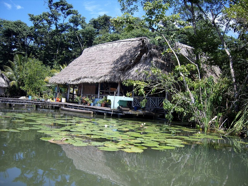
Maya Q’eqchi’ people and other local communities also live in the park’s surroundings. Daily life is connected to the river, fishing, agriculture, and small-scale tourism. Visitors should respect local traditions and consider excursions that support the people who live in the region.
Things to do in the national park
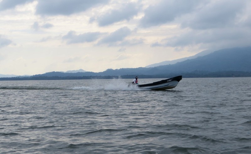
The most popular way to explore Río Dulce is by boat. The route offers views of the canyon, tropical riverbanks, small settlements, and waterways. Many excursions combine a river journey with a visit to Castillo de San Felipe or continue onward to Livingston.
Depending on the location and conditions, visitors may also go kayaking, watch birds, photograph nature, and walk along accessible trails. Some areas are suitable for relaxing by the water, but swimming should take place only where it is permitted and safe. Currents, boat traffic, and local ecological conditions require caution.
A guided excursion with a local guide is another way to learn about the area. Guides can help identify birds and plants and explain the river’s history and the lives of riverside communities. Check the duration, weather conditions, and access to individual sites before setting out.
How to reach Río Dulce National Park
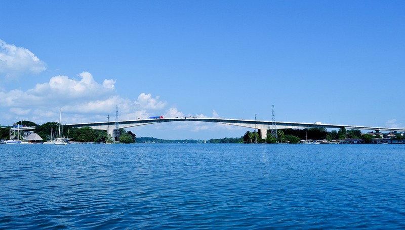
The main road access point is Fronteras, also known as Río Dulce, near the road bridge across the river. From Guatemala City, travellers usually take the CA-9 Norte highway towards the Atlantic coast and then follow signs to Fronteras. The drive takes around four hours, depending on traffic and road conditions.
Some parts of the park can be reached by water. Boat trips depart from Fronteras, Livingston, Puerto Barrios, and other local docks. Travelling by river provides views of the natural attractions and is often the most convenient way to reach the canyon and more remote sections.
Fronteras and nearby communities offer hotels, restaurants, docks, and tourism services. For visits to more distant areas, arrange a boat in advance and confirm the route, price, and return arrangements.
Best time to visit
The region has a warm, humid climate throughout the year. Different seasons can be suitable for boat trips and wildlife observation, although heavy rain may affect water levels, road conditions, and travel along the river. Check the forecast and confirm that planned excursions are operating before departure.
Travel is often easier during drier periods, but tropical showers can occur at any time. For boat trips, bring sun and rain protection, drinking water, and insect repellent.
Conservation and responsible travel
Río Dulce’s ecosystems face pressure from water pollution, changes in land use, deforestation, and other human activities. Protecting this natural corridor is important for manatees, birds, fish, and many other species, as well as for local communities whose livelihoods depend on the river.
Visitors should not throw rubbish into the water, disturb wildlife, damage vegetation, or leave boats in prohibited areas. Choose authorised transport operators and local guides, respect fishing restrictions, and follow the instructions of the protected area’s administration.
Why visit Río Dulce National Park
Río Dulce National Park combines dramatic river scenery, humid tropical forests, abundant wildlife, and colonial history. Visitors can travel between the green walls of the canyon, explore Castillo de San Felipe de Lara, experience the culture of Livingston, and discover one of the important natural systems of Guatemala’s Caribbean region. It is an excellent choice for travellers who want to explore beyond the country’s famous archaeological sites and volcanic landscapes.
Gallery