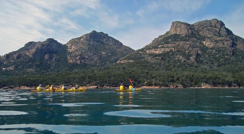
Freycinet National Park
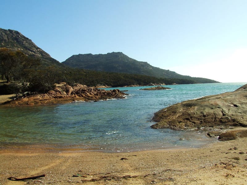
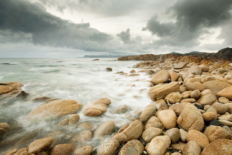
Freycinet is a national park in the eastern part of Tasmania, located on the peninsula of the same name and Schouten Island. The peninsula is about 22 km long and 6.5 km wide. The Tasman Sea washes the territory from the east, and Great Oyster Bay from the west.
In 1642, a Dutch navigator, Abel Tasman, sailed through these parts, and named one of the islands Joost Schouten. Schouten was the head of the East India Company. In 1802, Nicol-Thomas Bodin went to refine the map of the area, and he named the Freycinet Peninsula. Then the Freycinet brothers, who devoted themselves entirely to the sea, participated in the expedition with him. Louis became a sailor, Louis Henri became an admiral.
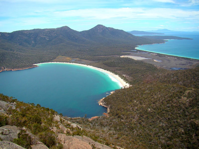
The Freycinet Peninsula is famous for its amazing Vainglass Bay, one of the ten best beaches in the world. The beach is a crescent of clear and white sand, with azure waters and stunning views of the cliffs. This place is ideal for outdoor enthusiasts. Here you can go kayaking, yachting, stroll through the park, go fishing, climb the mountains, scuba dive, go on a three-day trip around the peninsula. It is quite common to meet newlyweds spending their honeymoon here in the bay. And all because of the secluded beaches, great local cuisine and comfortable cabins.
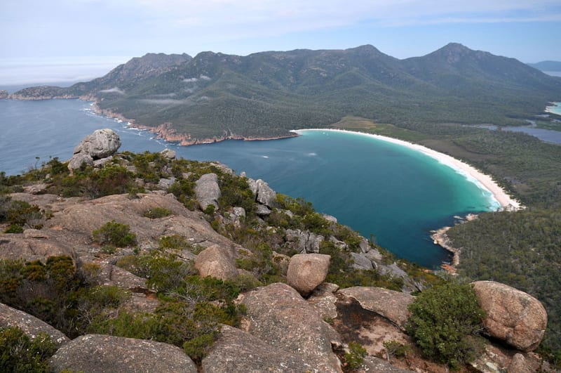
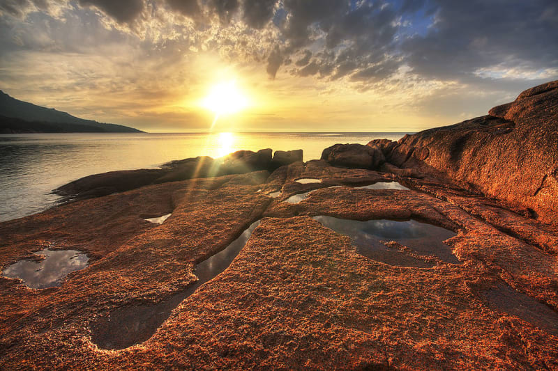
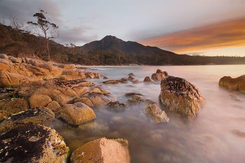
The Hazzards Mountains are an equally attractive attraction of Freycinet. The name of the mountains translates as "Danger", due to the sharp peaks on the peaks. The rocks have a pink hue due to the presence of rose quartz, which formed during the Devonian period.
Freycinet Park has a unique flora and fauna. There are almost 59 endemic plants growing here, and among the animals you can meet flying squirrels, Tasmanian devils, wombats, big-eared and kangaroo rats, echidnas, long-nosed otters. There are also a great many birds, including Australian cormorants, white-bellied sea eagles, looking for prey from above.
