Videy Island
Videy Island means "island of trees" in Icelandic. The name was not chosen by chance, it used to describe the specifics of the place. This is a small island in the west of Iceland near Reykjavik, it is located in the waters of the Kodla Fjord of Fahsaflowy Bay, with a surface area of 1.7 square kilometers.
History of creation
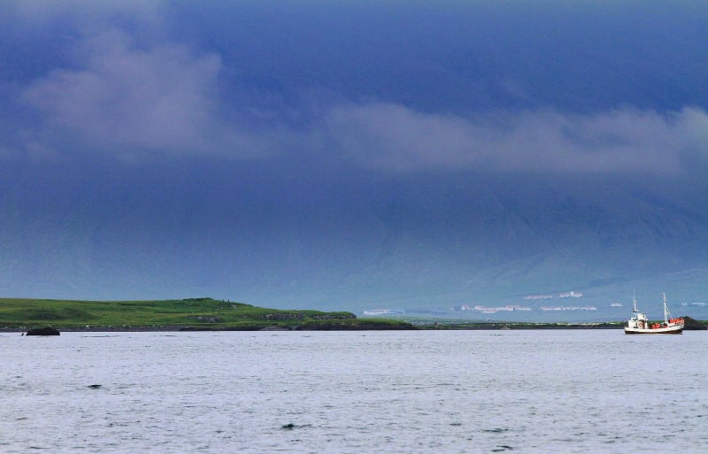
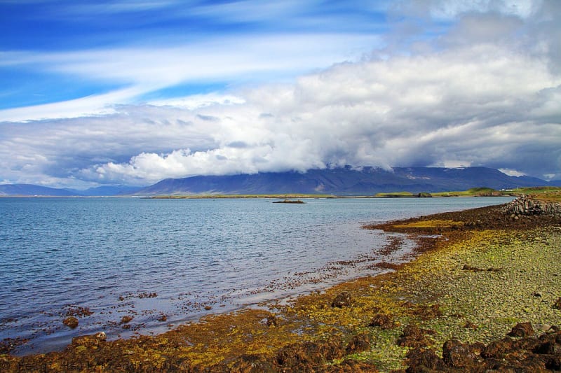
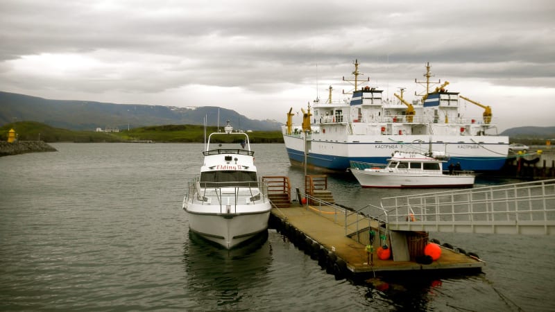
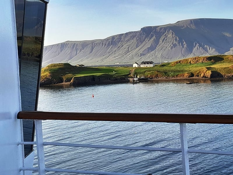
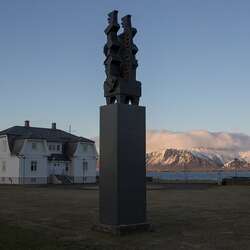
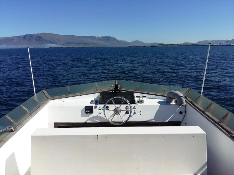
No matter which corner of the Reykjavik waterfront you are in, you will have a great view of the island of Videy from there. It only takes 5 minutes by ferry to reach it. The island used to be a volcano. After some time, he went under water, and after a few thousand years, the top of the island appeared again. The trace of those people who lived on the island on a permanent basis is visible back in the XII century. They built houses out of turf. In 1225, the monastery of St. Augustine was opened on the island of Videy. However, in 1539, by order of King Christian III of Denmark, it was burned. One of the memorable moments is connected with the relocation of Judge Skuli Magnusson. The house in which he lived was built under the supervision of architect Nikolai Eytved. The construction was completed in 1755. The house is the oldest stone building in the country. After 20 years, a temple appeared near the house, it was the second stone building in Iceland.
Features of the island of Videy
Traveling around Iceland, you will find many amazing and unique places. They can be so amazing that even the most experienced tourists will be able to get a lot of impressions. One of the places worth paying attention to when planning your trip around the country is the island of Videy. To this day, ancient buildings have been preserved on this piece of land, from which the history of the northern country is literally read. Research by archaeologists has shown that people first settled on the island of Videy back in the 10th century. The first people who lived here were Irish monks.
The heyday of the island of Vidya falls at the beginning of the XX century. At that time, the island was talked about as an important fishing port. About a hundred people lived in the village at that time. But in 1913, construction of a more modern port began in the capital of Iceland. And already at the time of 1943, there was no one left on the island.
What does Videy look like today
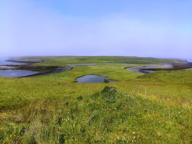
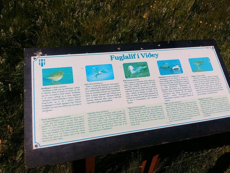
For the most part, the island consists of low hills, rocky and basalt formations. The highest hill in the village is considered to be Skuli, which stretches 32 meters in height. There are no trees on the island at all, they were cut down several hundred years ago. Despite this, the island never ceases to amaze with its picturesque landscapes. Among the animals here you can meet geese, silly, sea sandpipers, polar terns, snipe. Horseback riding is organized for tourists on the Vide. The island is one of the popular holiday destinations for Reykjavik residents and foreign tourists, there is a children's playground and a restaurant.
