Uluṟu-Kata Tjuṯa National Park
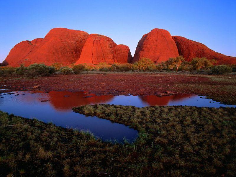
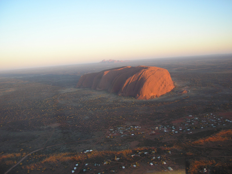
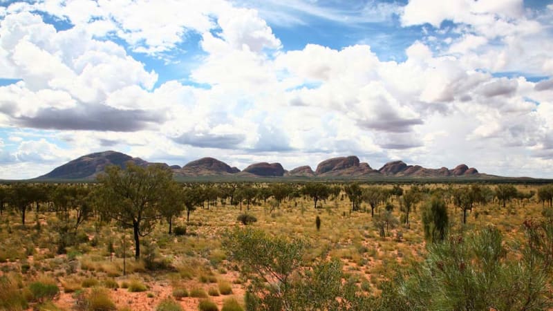
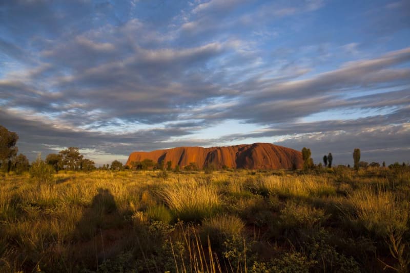
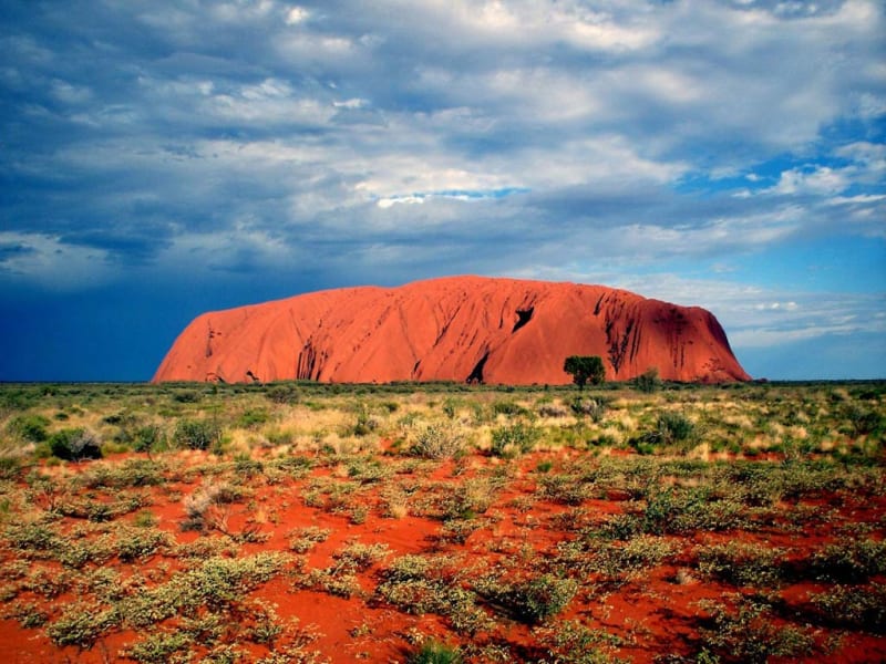
Uluru-Kata Tjuta National Park is a national park in Australia. It has been on the UNESCO World Heritage List since 1987. Uluru-Kata Tjuta National Park is located in the Northern Territory, 1,431 kilometers south of Darwin and 440 kilometers southwest of Alice Springs. The park covers an area of 1,326 km2. Parts of the park are the famous Uluru cliffs, as well as Kata Tjuta (Mount Olga), located 40 kilometers west of Uluru. The park is inhabited by Anangu aborigines, many of whom currently work as guides and guides for tour groups.

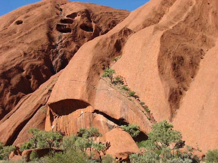
According to the research of geologists, there was a sea on the site of the current Uluru-Kata Tjuta National Park about 500 million years ago. For hundreds of thousands of years, deposits of sand and pebbles were created on its bottom, which eventually turned into sandstone. According to the latest research, Uluru is not a separate hill, but is part of a mountain range that currently lies below the surface of the earth and extends outward only to Uluru and Kata Tjuta. Both of these hills are interconnected underground into a single geological formation. The red color of the rocks is caused by the mineral hematite (iron oxide), which is part of the rock. Uluru protrudes above the plain by an average of 348 m, and its highest point is at 869 m above sea level. The visible part of the rock is 3.4 km long and 2 km wide.
The first Europeans visited these places in 1870. In 1872, maps of the Uluru-Kata Tjuta region were compiled. At the turn of the 19th and 20th centuries, European farmers began to settle here, which led to numerous clashes between them and the aborigines. In 1920, an Aboriginal reserve was established on part of the territory of the current national park. Tourists have been visiting the area around Uluru-Kata Tjuta since 1936. In 1976, Australia transferred the rights to the park to the Aborigines who inhabited it, who then leased the park to the Australian government for a period of 99 years. In 1985, the Australian Government returned both of these rocks to the Northern Aboriginal Territories, as the National Park is located on their sacred land. The aborigines believe that life itself originated in these places.

The local Anangu tribe considers both Uluru and Kata Tjuta to be sacred places where a battle between snake people took place in ancient times. The female python Kuniya crawled to Uluru to lay eggs. When she finished laying, she heard that the poisonous Lyra, a brown snake, had killed her nephew. Wanting revenge, Kuniya crawled to the foot of Uluru, to a place called Muthityulu. There she met one of Lyra's servants. She tried to enchant him by dancing, but the servant made fun of her. In anger, she grabbed a handful of sand and threw it on the ground. And where the grains of sand fell, both trees and grasses became poisonous. But Liru's servant was still laughing. In the end, Kuniya grabbed her stick and hit him on the head. Her rage was so great that the second blow killed Lyra's servant. The deep dents from the blows of her stick are still visible on Uluru - they are imprinted into the stone. Kuniya and her nephew turned into rainbow snakes. They still live in Mutityulu and look after the Anangu tribe. The aborigines of Anangu believe that the sacred place of Uluru is endowed with a special power, it is a door between the world of people and spirits. Climbing to the top is considered a terrible sacrilege among them, and none of the aborigines dares to do so, because they are afraid of incurring the wrath of the spirits. Anangu is convinced that Uluru is still taking human lives for itself and it will be bad for those who climb the mountain. There are many caves and rock carvings at the foot of the cliff. You can climb to the top using an ancient sacred path.
The natural landscape of the park is a desert. The animals and plants living in it create a single biological cycle. Some of these plants and animals are used by the aborigines as traditional medicine or food. The flora of Uluru-Kata Tjuta is represented by almost all the species found in Central Australia. Some of these plants are extremely rare and common only in the national park. Various types of eucalyptus, acacia, and grevillea trees grow here. The flowering time of plants occurs in winter and after rains.
Today, hundreds of thousands of tourists come to these places. In the 1970s, the park's infrastructure was moved beyond its borders, and in 1975, the Yulara resort and a small airport were built near Uluru. There are a lot of routes in the park today. Following the Main Trail, you can see Uluru. The trail, called the Valley of the Winds, leads to Mount Kata Tjuta. There are viewing platforms with stunning views. Visiting the Cultural Center, you can get acquainted with the way of life and traditions of the Aboriginal tribes and buy original handmade souvenirs.
