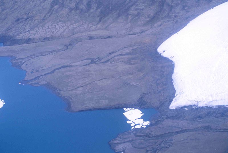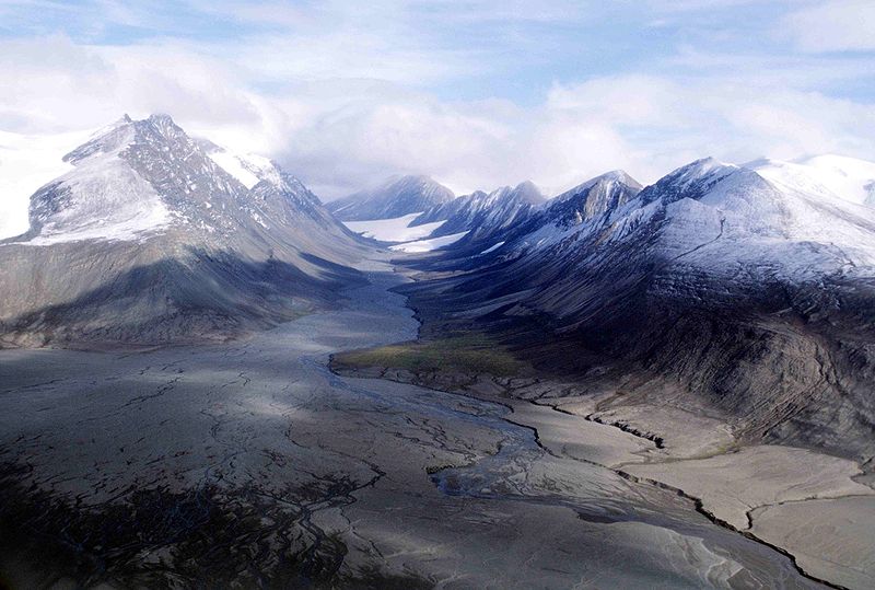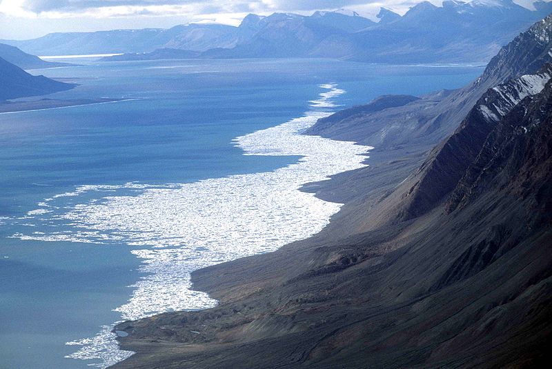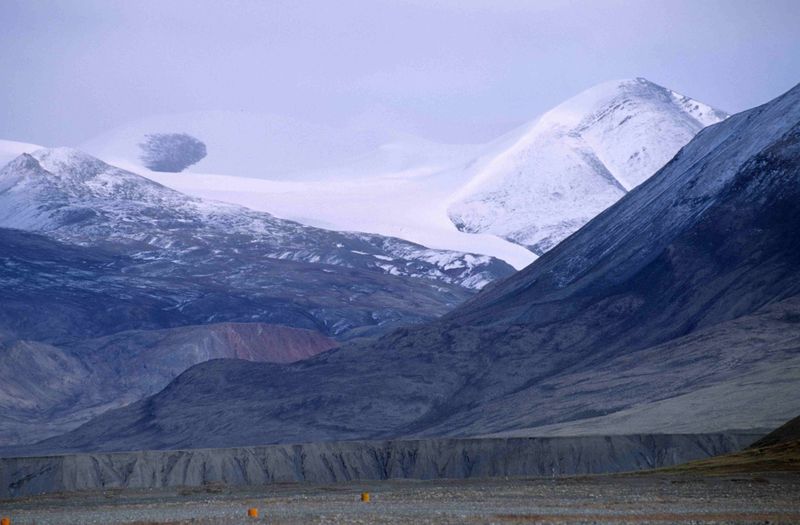

Quttinirpaaq National Park lies on northern Ellesmere Island in Nunavut, Canada. It is one of the world's northernmost national parks and Canada's second largest, covering 37,775 km². Located about 720 kilometres from the North Pole, the park protects a vast landscape of glaciers, mountains, fjords and polar tundra.
Quttinirpaaq means “land at the top of the world” in Inuktitut. There are no ordinary roads or extensive tourist facilities, and most of the park is extremely remote. Visiting requires careful planning, specialized equipment and preparation for severe Arctic weather.
Mountains and glaciers
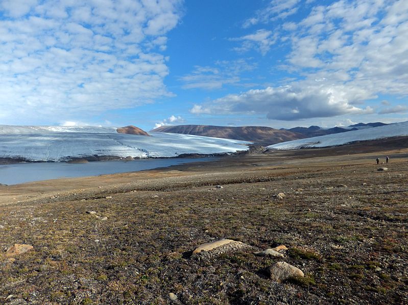
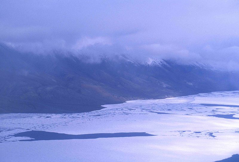
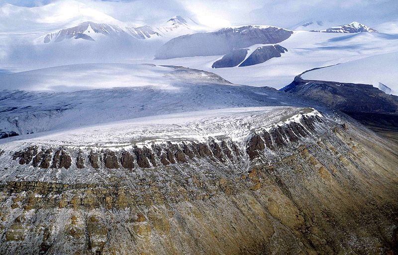
The landscape was shaped by ancient geological processes, glacial erosion and the polar climate. Large ice caps cover mountain ranges, while glaciers descend into valleys and towards the coast. Barbeau Peak, at approximately 2,616 metres, is the highest mountain in eastern North America. It belongs to the Arctic Cordillera, where snow and ice may remain even in summer.
Much of the park is a polar desert. Precipitation is very low, winters are long and summers are short and cool. Lichens, mosses and small Arctic plants grow on rocky ground, while sheltered valleys and lowlands support grasses, sedges and seasonal flowers.
Lake Hazen: an Arctic oasis
Lake Hazen, also known by the Inuktitut name Tasialuk, lies near the centre of the park. It is one of the largest lakes north of the Arctic Circle. Its basin is relatively warmer and wetter than the surrounding polar desert, allowing lush meadows and a greater variety of plants to develop during summer. For this reason, the area is often described as a thermal oasis.
The lake is important for scientific research into freshwater ecosystems, microorganisms and climate change. Arctic char occur in the park's freshwater systems. The surrounding lowlands also support more wildlife than many of the ice-covered areas nearby.
Wildlife and vegetation
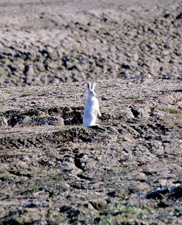
Animals found in the park include muskoxen, Peary caribou, Arctic hares, lemmings, Arctic foxes and Arctic wolves. Polar bears, ringed seals, bearded seals and narwhals occur along the coast and in marine waters. During the brief summer, migratory birds arrive to breed, including snow geese, eiders and shorebirds.
Vegetation includes sedges, grasses, dwarf willows, mosses, lichens and cold-adapted flowering plants. Wet meadows around Lake Hazen are more productive than exposed rocky slopes. Because plant growth is slow in the Arctic, even small disturbances can take a long time to recover.
Archaeology and human history
Archaeological evidence shows that people visited this region more than 4,000 years ago. Sites represent several Arctic cultural traditions, including Independence I and II, Late Dorset and Thule. Ancient travellers used valleys and coastal areas for seasonal movement, hunting and gathering resources.
One historic migration route, known as the Muskox Way, connected parts of the Canadian Arctic with Greenland. The area is also important to Inuit cultural history. Ancestors of today's Inuit associated with the Thule tradition travelled and lived here about a thousand years ago. Protecting archaeological remains and traditional knowledge is an important part of park management.
Science and climate change
Research camps operated in the region during the twentieth century, studying meteorology, glaciers, oceanography and other Arctic processes. Today, Quttinirpaaq is an important place for monitoring climate change. Warming affects glaciers, sea ice, freshwater ecosystems and the availability of food for wildlife. Scientists also study microscopic communities that survive in cold lakes, rivers and ice.
Establishment and management
The area was established as a national park reserve in 1988. Following agreements with Inuit organizations and the creation of Nunavut, its management arrangements developed further. Quttinirpaaq became a national park under Canadian legislation in 2001. Parks Canada and Inuit partners cooperate in its management.
Canada has included Quttinirpaaq on its tentative list of sites that may be nominated for UNESCO World Heritage status. This is a preliminary designation, not confirmation that the park is already inscribed on the World Heritage List.
Visiting Quttinirpaaq
Reaching the park is difficult because there are no regular road connections and very few visitors. Travel usually involves air transport and pre-arranged transfers to a starting point. Resolute Bay and Grise Fiord may serve as departure locations, depending on weather, season and operator availability.
Visitors should contact Parks Canada in advance to confirm registration and permit requirements, transport options and safety procedures. Travelling with an experienced guide or specialized operator is often advisable. Independent expeditions require navigation skills, experience on glaciers and rocky terrain, and the ability to manage emergencies without reliable communications or rapid rescue.
Climate and the best time to visit
The climate is extremely cold, with long winters, short cool summers, low precipitation and potentially strong winds. During part of summer the sun remains above the horizon, while winter brings an extended period of polar night. Most expeditions take place during the short summer season, although snow and ice can persist throughout the year.
Quttinirpaaq National Park brings together enormous glaciers, rugged peaks, polar desert and surprisingly green lowlands around Lake Hazen. It is important for Arctic conservation, Inuit cultural heritage and scientific research into environmental change.
Gallery